
Advanced detection of environmental phenomena that directly affect public safety, protection of property, and our nation’s economic health and prosperity.
The Office of Geostationary Earth Orbit Observations manages the Geostationary Operational Environmental Satellites – R Series (GOES-R) and Geostationary Extended Observations (GeoXO) programs. NOAA’s geostationary satellites orbit 22,300 miles above the equator at speeds equal to Earth’s rotation. This means that they remain over the same area as the planet spins around its axis. Because they stay above a fixed area on the surface, the satellites provide constant vigil to identify and track severe weather conditions and environmental hazards like fires, smoke, dust storms, fog, and volcanic ash over time. Information from geostationary satellites is primarily used for short-term (1–2 day) forecasts and for tracking storm systems and environmental hazards in real-time.
The GOES-R and GeoXO programs are collaborative efforts between NOAA and NASA. NASA builds and launches the satellites for NOAA, which operates them and distributes their data to users worldwide. NOAA manages the programs with an integrated NOAA-NASA program office organization, staffed with personnel from NOAA and NASA, and supported by industry.
GOES-R
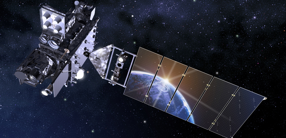
NOAA’s GOES-R Series is the Western Hemisphere’s most advanced weather-observing and environmental-monitoring system. The satellites provide real-time, high-resolution imagery and atmospheric measurements of Earth’s weather, oceans and environment, mapping of total lightning activity, and monitoring of solar activity and space weather.
The GOES-R Series is a four-satellite program including GOES-R (GOES-16), GOES-S (GOES-17), GOES-T (GOES-18) and GOES-U (future GOES-19). Each satellite includes a suite of instruments for monitoring weather and hazards on Earth as well as in space.
NOAA maintains a two-satellite operational GOES constellation, keeping an eye on more than half the globe—from the west coast of Africa to New Zealand and from near the Arctic Circle to the Antarctic Circle. These satellites are known as GOES East and GOES West.
GeoXO

NOAA’s GeoXO satellite system will advance observations of Earth that the GOES-R Series currently provides from geostationary orbit. The information GeoXO supplies will improve short-term forecasting and warning of severe weather and hazards that threaten the security and well-being of everyone in the Western Hemisphere.
GeoXO will continue and enhance GOES-R’s visible/infrared imagery and add hyperspectral infrared sounding for improved forecasts.
NOAA expects that GeoXO will begin operating in the early 2030s as the GOES-R Series nears the end of its operational lifetime to ensure continuity of these critical observations
Our Leadership
News and Announcements
Partners
- NOAA
- NASA
- L3Harris
- Lockheed Martin
- Laboratory for Atmospheric and Space Physics (LASP)
- Assurance Technology Corporation (ATC)
- Naval Research Laboratory (NRL)
- Cooperative Institute for Satellite Earth System Studies (CISESS)
- Cooperative Institute for Mesoscale Meteorological Studies (CIMMS)
- Cooperative Institute for Meteorological Satellite Studies (CIMSS)
- Cooperative Institute for Research in the Atmosphere (CIRA)
- Cooperative Institute for Research in Environmental Sciences (CIRES)
- Cooperative Program for Operational Meteorology, Education, and Training (COMET)
- Virtual Institute for Satellite Integration Training (VISIT)