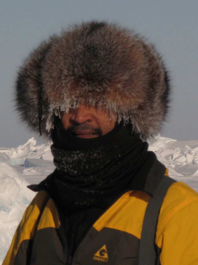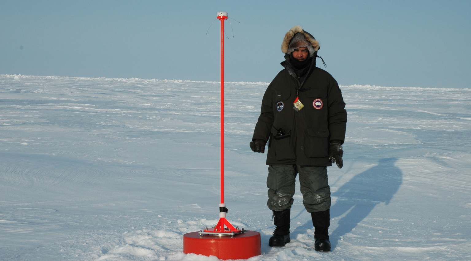
Dr. Pablo Clemente-Colón, chief scientist for the U.S. National Ice Center (NIC), next to a newly installed ice-monitoring buoy in the Arctic.
Wild Weather Jobs: Chief Scientist for the National Ice Center
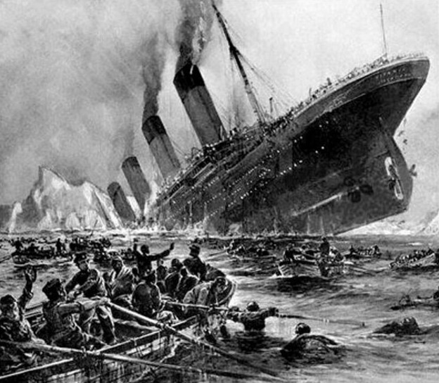
“Iceberg, right ahead!”
That was the call that Frederick Fleet, a 24-year-old lookout on the RMS Titanic, sent to the ship’s brig on the evening of April 14, 1912. The warning, as we all know, was too little too late. The Titanic sank in the frigid waters off the coast of Newfoundland after colliding with the massive block of glacial ice.
Fleet would later say that if he had only been issued binoculars, he might have seen the iceberg sooner and been able to prevent the tragedy.
Today, thousands of boats and submarines brave high-latitude waters potentially facing sea ice and iceberg hazards each year. These vessels transport people and important cargo, assist in military operations, and conduct scientific expeditions. Luckily, they have a lot more than binoculars to watch out for icy hazards.
A Lookout From Above
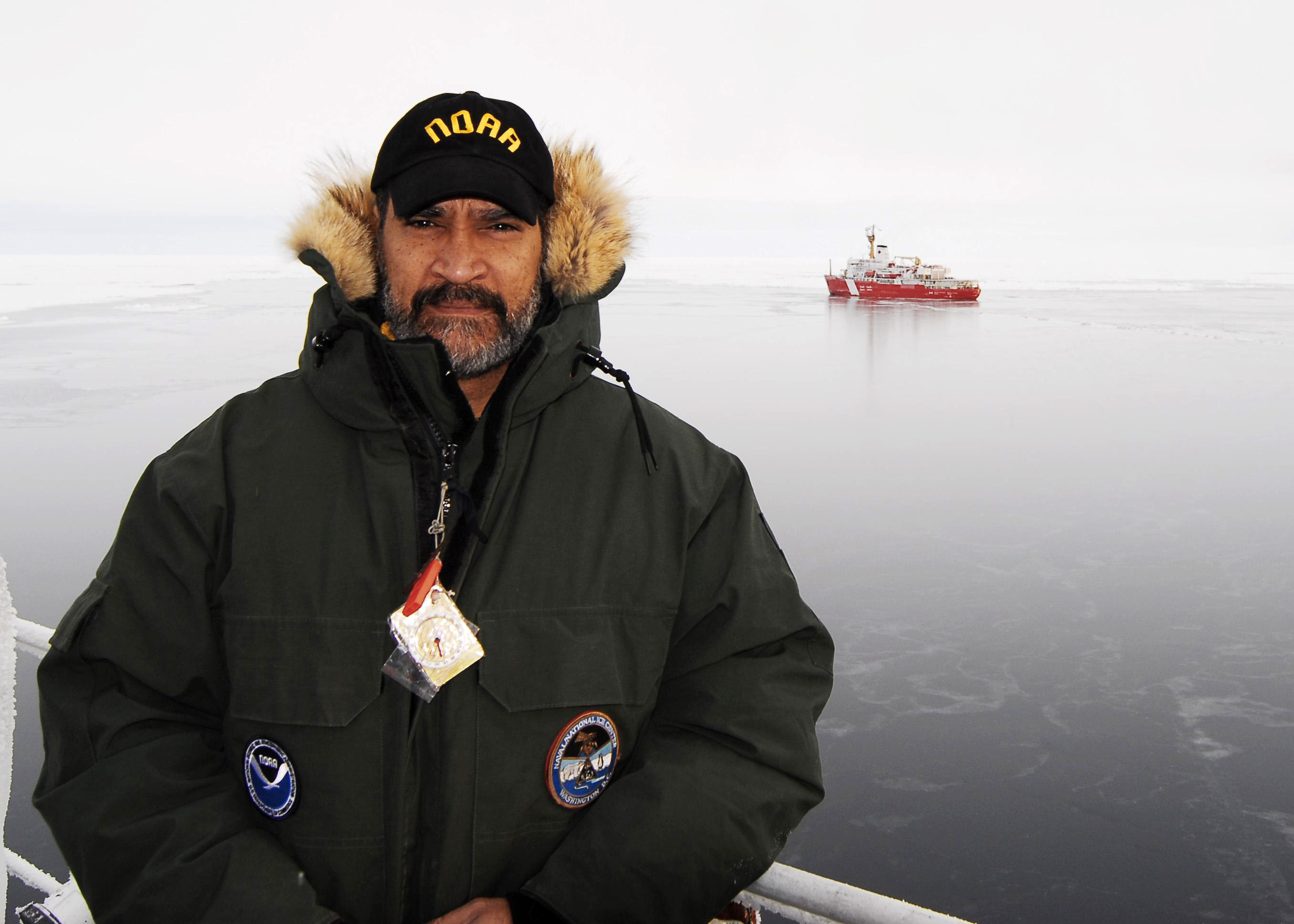
Dr. Clemente-Colón in the middle of the Arctic Ocean aboard the USCGC Healy icebreaker with the Canadian Coast Guard icebreaker Louis S. St-Laurent in the background.
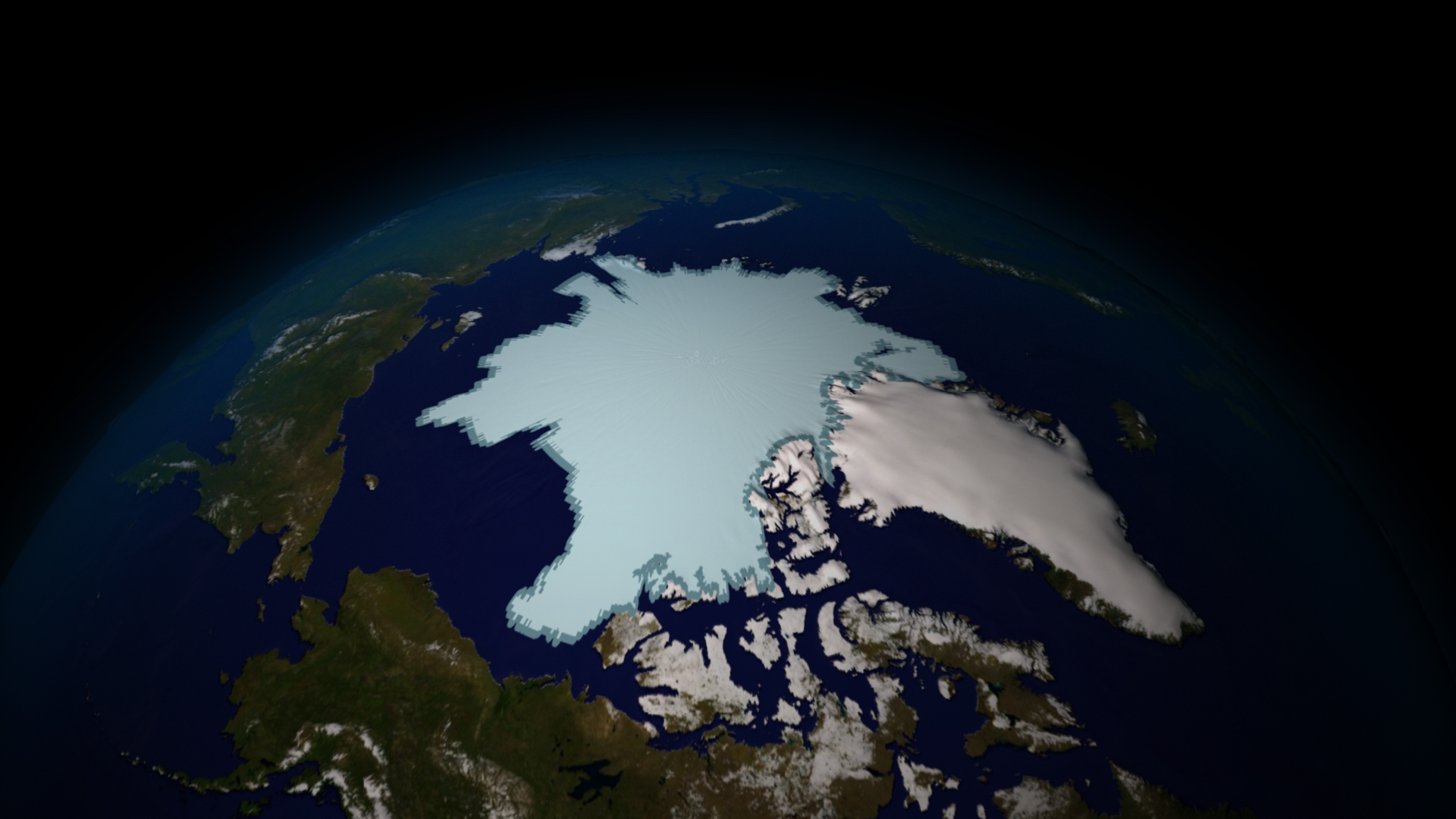
In many ways, Dr. Pablo Clemente-Colón and his team at the U.S. National Ice Center (NIC) are the modern version of that lookout on a ship. Dr. Clemente-Colón is the chief scientist for the NIC, which is operated jointly by the U.S. Navy, the National Oceanic and Atmospheric Administration (NOAA), and the U.S. Coast Guard. His job at the NIC is to lend his expertise as an oceanographer to provide analysis and forecasts about dangerous ice conditions anywhere in the ocean as well as global snow cover on land.
Clemente-Colón uses many different tools to monitor, characterize and forecast these icy conditions. Most of the data for snow and sea ice comes from weather satellites, which have a variety of tools that can be used to map and determine conditions in near real-time.
For example, by observing things like the shape of the ice structures and the roughness and reflectivity of the ice surface, he can figure out what kind of ice is in different areas. “Depending on the type of ice, you can get an idea [about its] navigability,” he says.
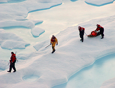
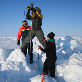
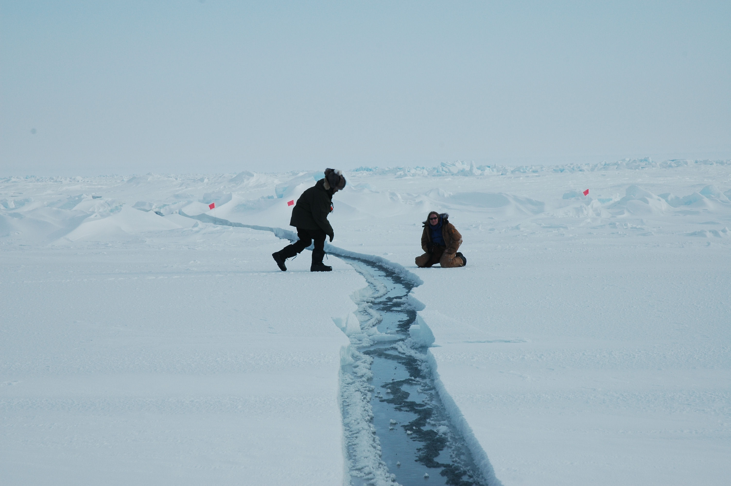
In addition to space-based tools, Clemente-Colón and his team from the NIC also go on expeditions all around the world to place buoys in the water. Aboard rugged ice-breaker ships, he deploys these buoys into frozen seas.
The buoys help scientists track the currents in the ocean and the movement of the ice while providing other important weather information as well.
The information that the NIC collects is used by the Navy, shipping companies and meteorologists. It also is used for longer-term studies of climate.
How Did He Get Such a Cool Job?
Believe it or not, Clemente-Colón’s interest in oceanography couldn’t have been further from the Arctic.
“My idea when I went to college was to become an oceanographer so I could enjoy the sandy beach and the water,” says Clemente-Colón, who was born in Puerto Rico.
To help him reach that goal, he studied physics in college. After that, he was hired as an oceanographer at NOAA. NOAA sent him to graduate school in oceanography, where he learned about the use of satellites to study the ocean. NOAA had just begun using environmental satellites to study the ocean when he joined the agency in 1978.
“A whole new world opened up to me,” he says. “When I joined NOAA, I actually learned that there were these satellites collecting environmental data… and I certainly got engaged in looking at the ocean not from a shoreline or a boat, but from above.”
It wasn’t long before NOAA realized that this kind of technology could be used for looking not just at ocean waters but at ice too. And Clemente-Colón got involved in that effort early. Years later, he says, the NIC needed a chief scientist, and they brought him on board to provide his expertise with satellites.
He certainly is glad he took the job. He travels all around the world and meets scientists from many different backgrounds—all while protecting lives and property.
But his favorite part of the job is the unique chance he gets to witness, first hand, our dynamic and changing Earth. “Only a few people on the planet have that opportunity,” he says.
An interview with Dr. Clemente-Colón created by Kids.gov.


