
Feature Story
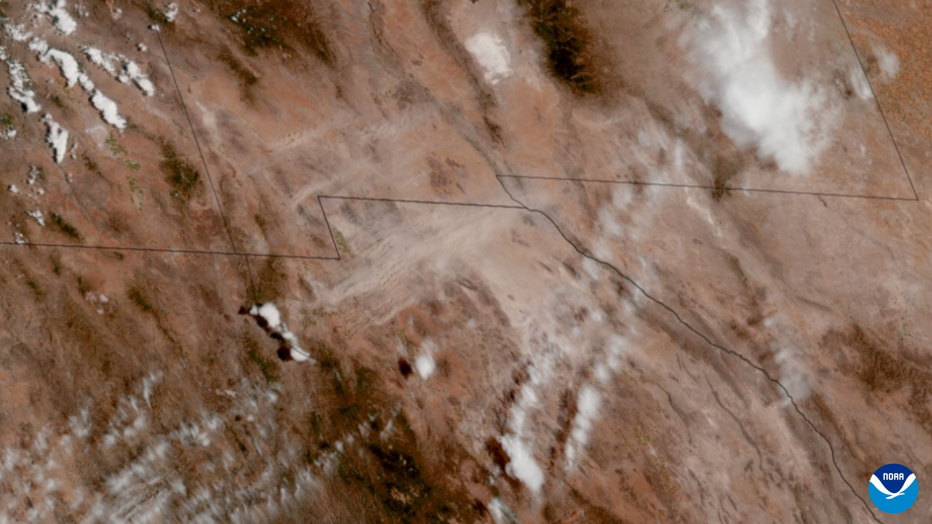
Scientists and forecasters are gaining better insights into how hazardous dust storms occur across southwestern North America thanks to NOAA satellites.
Announcement

Heather Roman-Stork, an ocean scientist working with NOAA NESDIS’ Center for Satellite Applications and Research (STAR), has been selected as the 2026 winner of NOAA’s David S. Johnson Award.
Feature Story
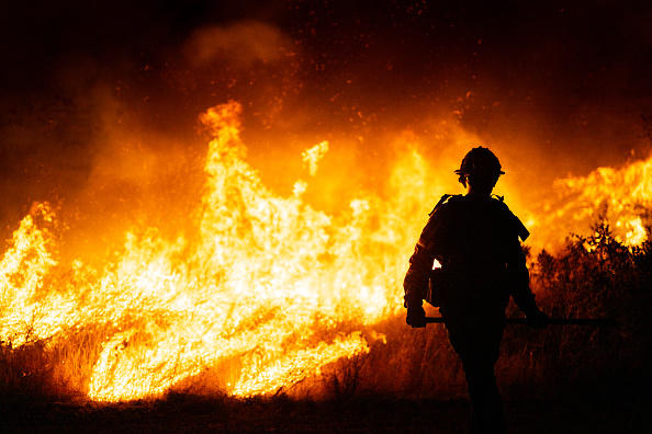
Wildfires burn millions of acres across the U.S. every year. According to the U.S. Department of the Interior Office of Policy Analysis, wildfires cost the U.S. approximately $424 billion annually, including firefighting resources, evacuations,…
Feature Story
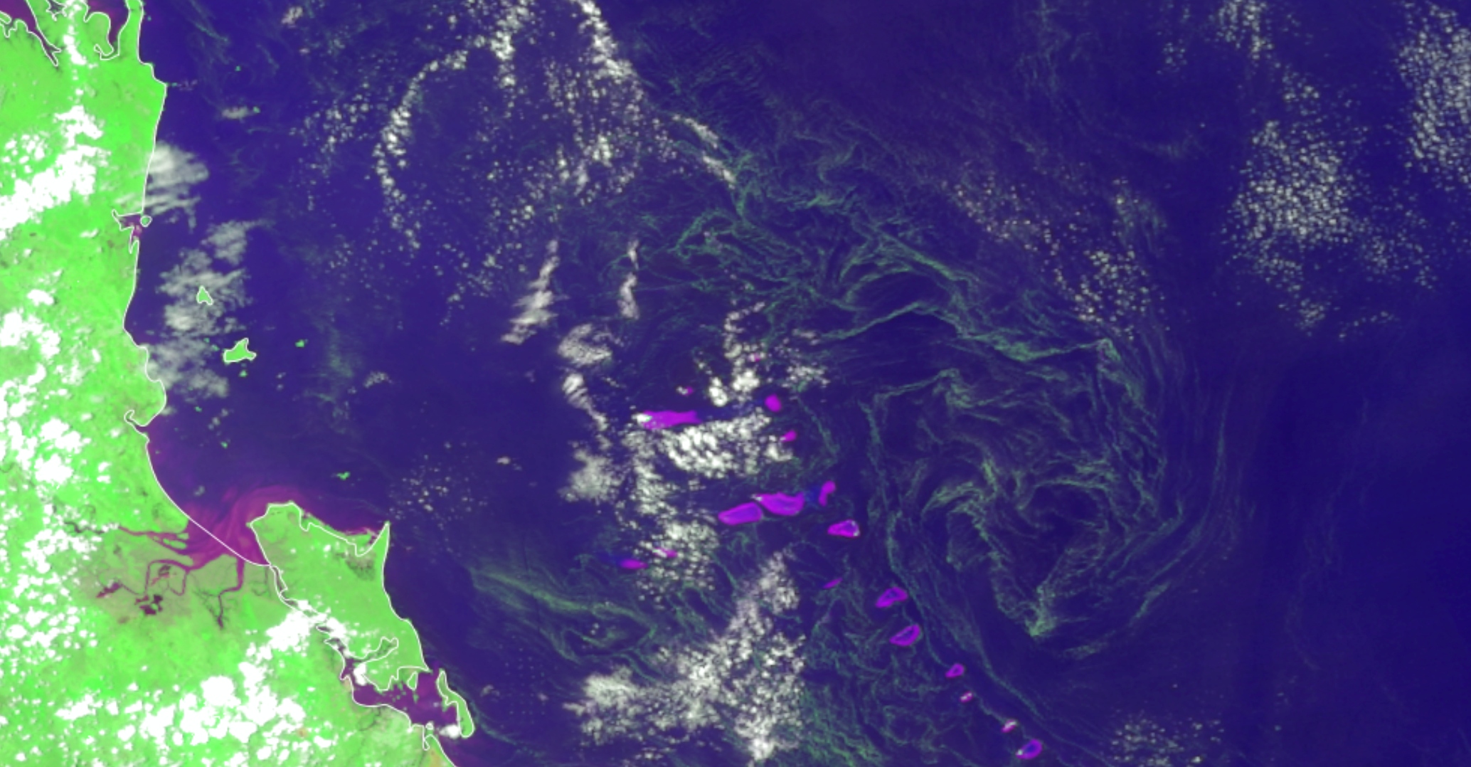
Scientists from NOAA’s Center for Satellite Applications and Research (STAR), in collaboration with partners such as the University of South Florida (USF), are pairing artificial intelligence with more than one million satellite images to detect and…
Feature Story

The ocean is a vast, interconnected system that covers about seventy percent of the Earth’s surface. Satellites are essential for observing this environment, supporting marine transportation, weather monitoring, and coastal safety.
Feature Story

The Sentinel-6B (S-6B) satellite was launched on November 16, 2025, at Vandenberg Space Force Base in California.
Feature Story

In the early hours of July 4, 2025 a devastating flash flood occurred in the Central Texas Hill Country. The Guadalupe River in Kerr County rose over twenty feet in just a few hours, and more than a hundred people lost their lives and thousands of…
Feature Story

While NOAA’s National Weather Service (NWS) is responsible for issuing weather forecasts and warnings, its the Center for Satellite Applications and Research (STAR), a program office within the National Satellite and Information Service (NESDIS),…