
Feature Story

For 50 years , NOAA’s Geostationary Operational Environmental Satellites (GOES) have kept a constant vigil over the Western Hemisphere.
Earth from Orbit

NOAA satellites have been monitoring a potent and complex spring weather pattern responsible for nearly a week-long stretch of severe weather, including two destructive tornado outbreaks across the central U.S. from May 15–16 and May 18–20, 2025.
Feature Story

Despite the hazards inherent to air travel, U.S. civil and military aviation is by far the safest form of transit.
Feature Story

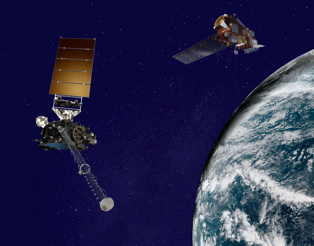
NOAA contributes 90% of the weather information used by the defense and intelligence communities. Satellites offer a view unrivaled by terrestrial technology.
Feature Story

NOAA satellites provide data that Americans use daily. Maintaining this “environmental intelligence” is critical to U.S. Armed Forces operations. As Space Force General David Thompson testified before the Senate Aviation and Space Subcommittee in…
Earth from Orbit
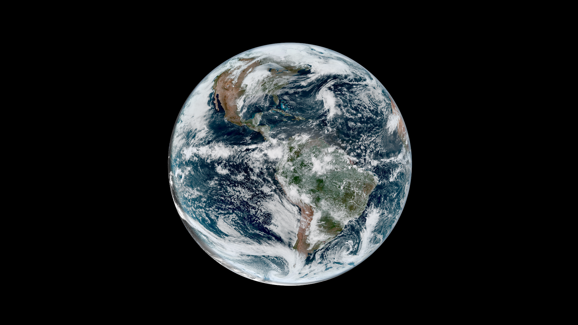
NOAA satellites have been monitoring Earth’s weather and environment since 1970, which also happened to be the year the first official Earth Day took place!
Feature Story
From their orbits, NOAA satellites can play a vital role in detecting and tracking severe weather, providing forecasters with critical data to predict and monitor life-threatening conditions.
Feature Story
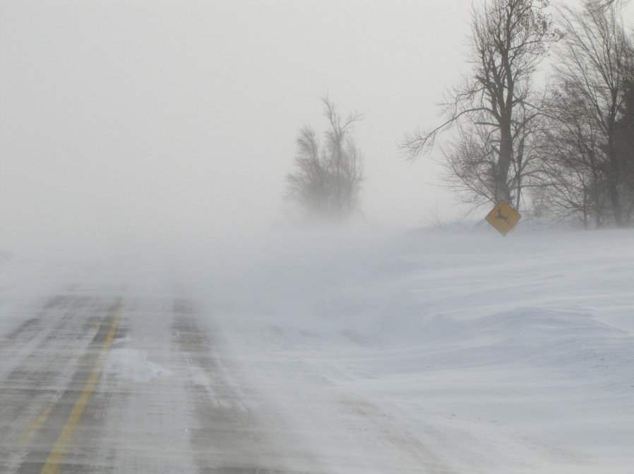
When hazardous winter weather threatens, NWS forecasters can use a new tool with GOES and JPSS satellite data to better detect two dangers—blowing snow and freezing sea spray—helping protect lives.