
Earth from Orbit
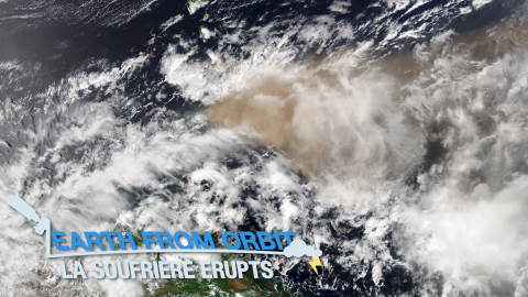
On the morning of April 9, 2021, La Soufrière volcano on the Caribbean island of Saint Vincent began erupting, spewing ash at least 25,000 feet in the
Earth from Orbit
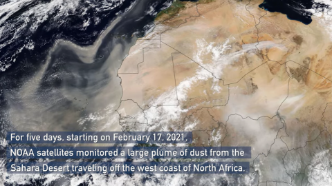
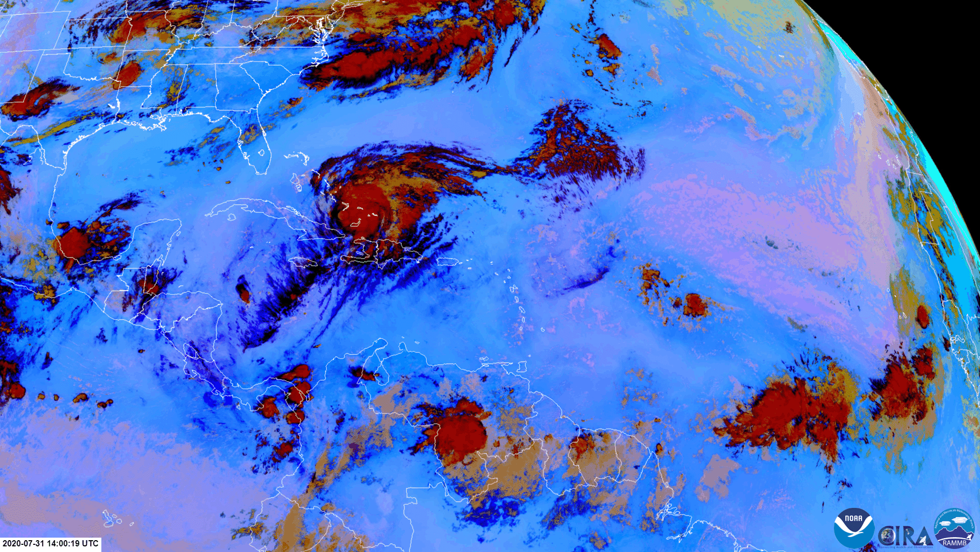
NOAA satellites monitored a large plume of dust from the Sahara Desert as it traveled off the west coast of North Africa, across the Atlantic Ocean.
Satellite Snapshots
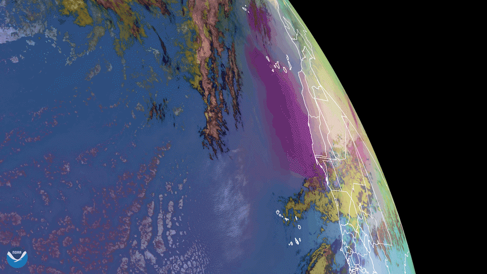
NOAA’s GOES East satellite captured dust from the Saharan Air Layer (SAL) as it wafted its way over the Atlantic Ocean and Canary…
Satellite Snapshots
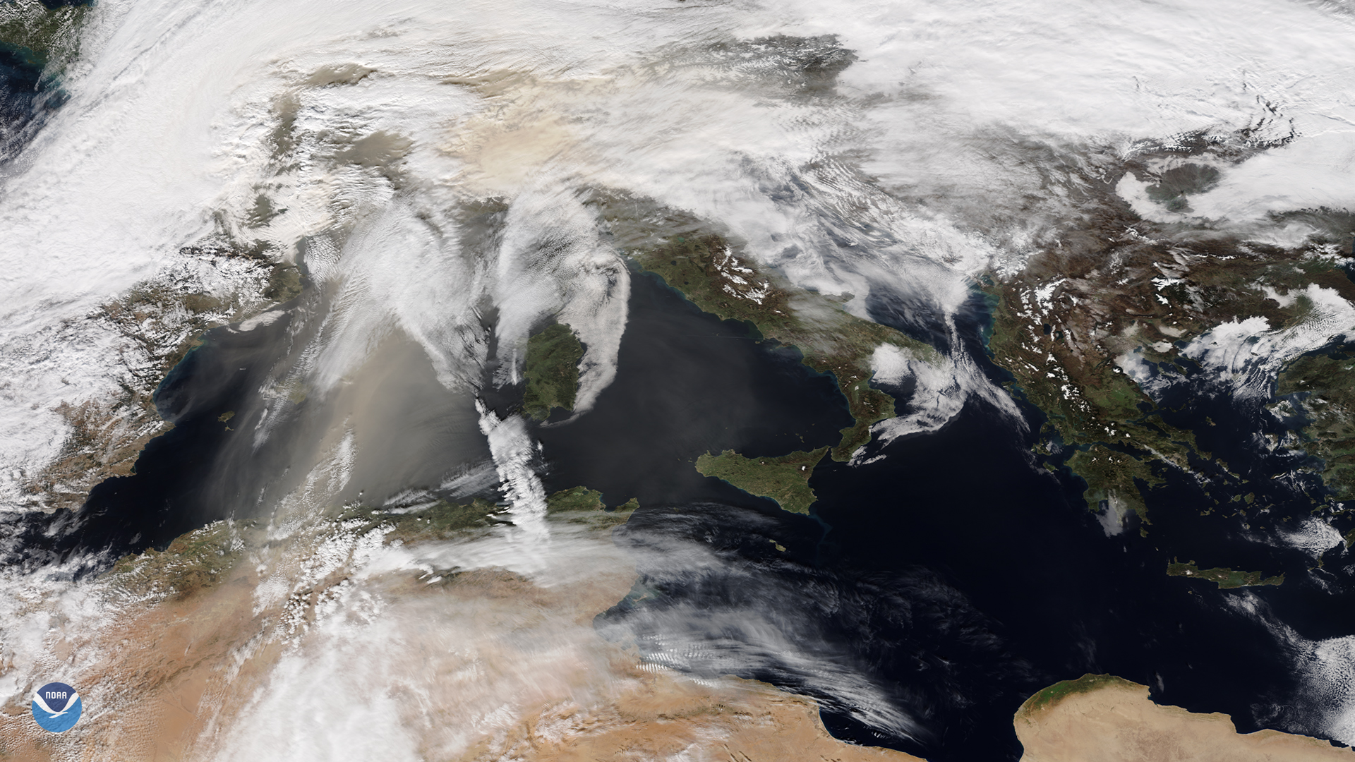
NOAA-20 catches orange skies and dusty ski slopes plagued Europe during the first weekend of February
Satellite Snapshots
GOES East satellite see a dust storm blow from the northern coast of Mari Menuco Lake, Argentina,
Satellite Snapshots
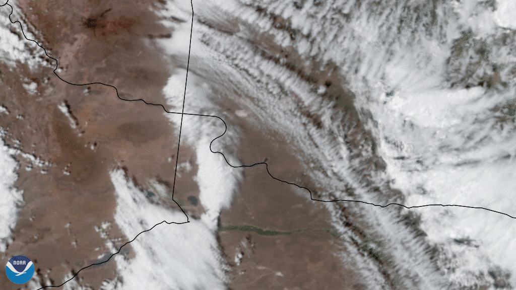
On Oct. 11, 2020, NOAA’s GOES-East satellite watched a huge wall of dust blow more than 300 miles from eastern Colorado to Nebraska,…
Satellite Snapshots
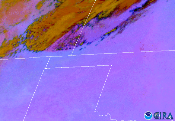
In both visible and infrared imagery, dust can often be confused with clouds such as cirrus, since they are both considered optically thin.
Satellite Snapshots
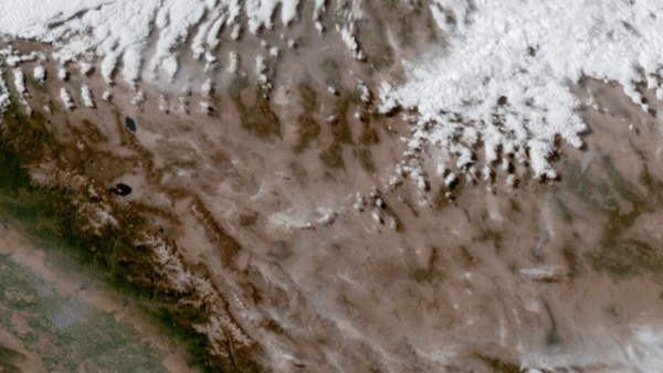
On June 28–29, 2020, NOAA’s GOES-West satellite watched a particularly intense dust cloud race across Nevada’s Mojave desert.