
Earth from Orbit
NOAA satellites have been closely monitoring the late-season winter storm that brought snow to parts of the Pacific Northwest.
Satellite Snapshots
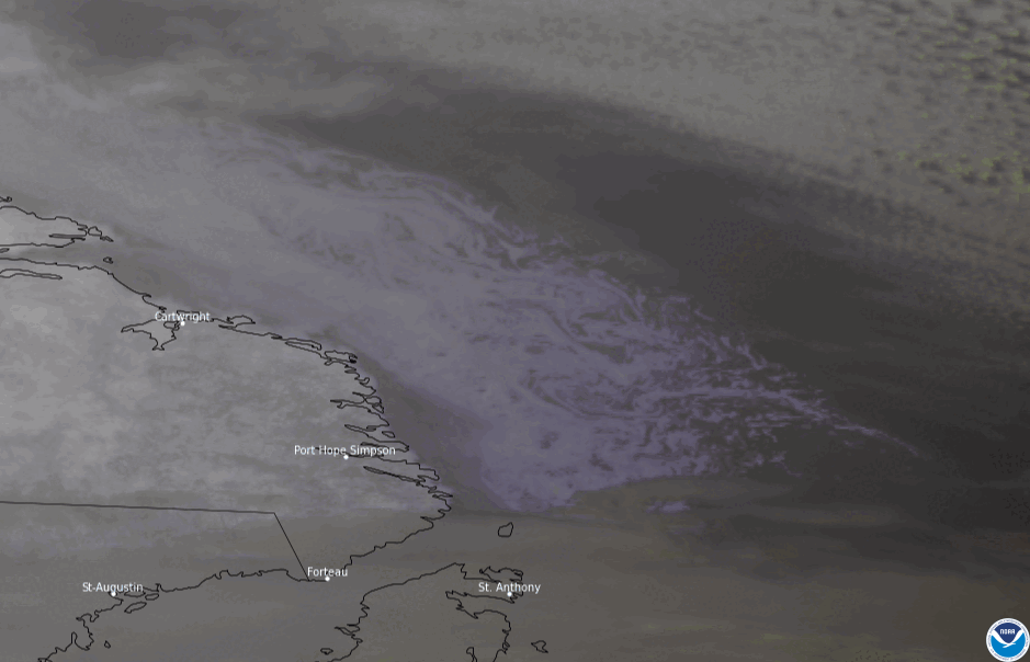
On Feb. 8, 2022, NOAA’s GOES East used its Advanced Baseline Imager (ABI) to focus on sea ice (bluish-white swirls) flowing in the Labrador Sea off th
Feature Story
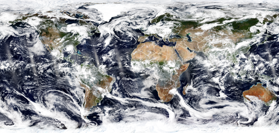
With their lofty view from space, NOAA satellites see the awe-inspiring beauty and the sobering destruction Mother Nature creates across our dynamic p
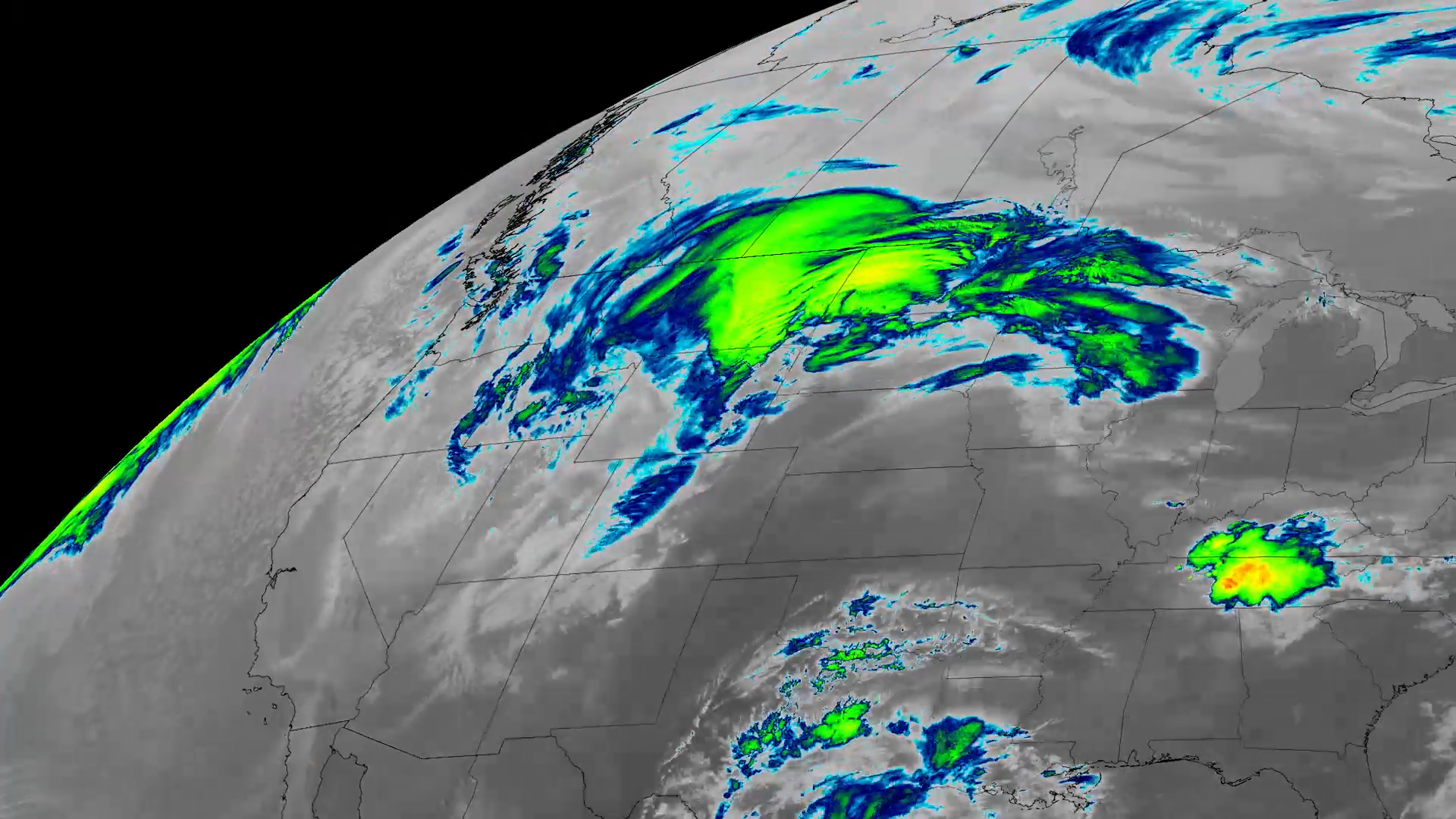
Satellite Snapshots
On Dec. 12, NOAA’s GOES East satellite had its eye on snow laying across northern Iowa, Minnesota, and Wisconsin.
Satellite Snapshots
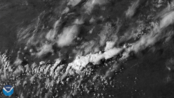
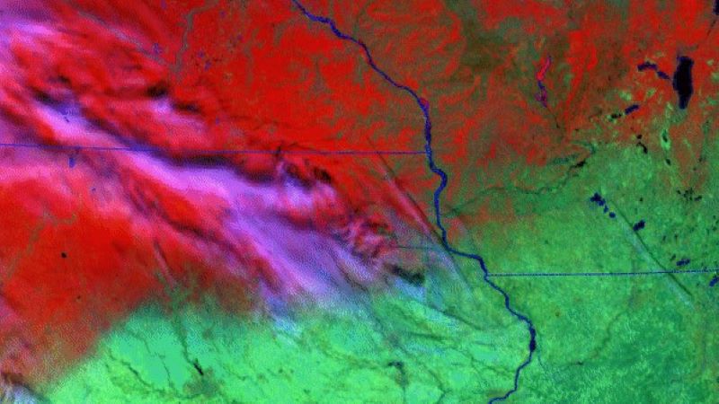
The GOES East satellite, on the evening of April 12, 2021, viewed a supercell thunderstorm bubble up in central Texas, part of several…
Satellite Snapshots
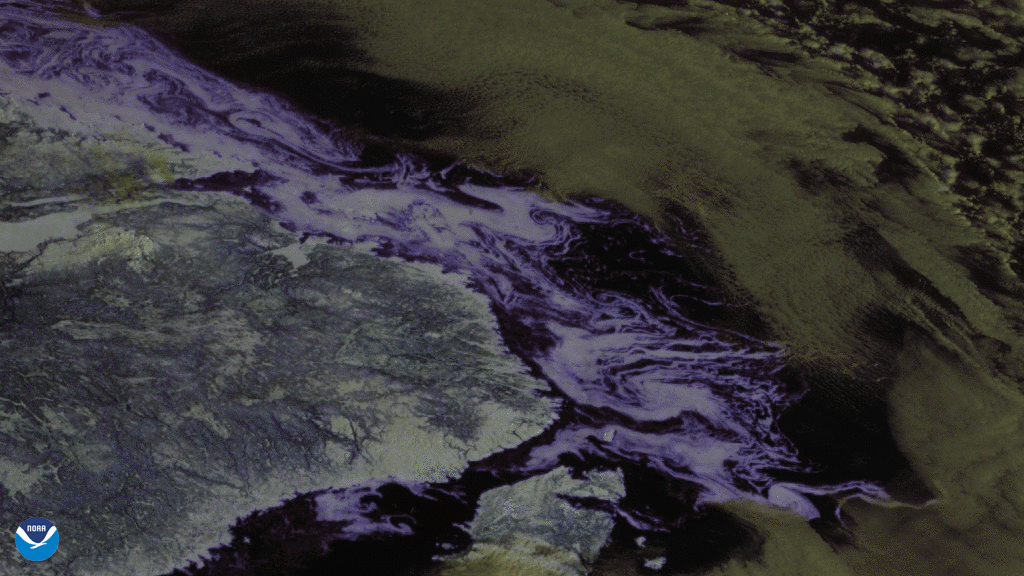
On March 9, 2021, GOES East used its Advanced Baseline Imager (ABI) to focus in on sea ice (bluish-white swirls) flowing in the…
Earth from Orbit
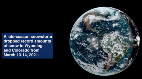
Satellite imagery shows a late-season snowstorm that dropped record-breaking amounts of snowfall in Cheyenne, Wyoming and Denver, Colorado.
Satellite Snapshots
On Feb. 19, 2021, GOES East zoomed in on the Great Lakes, capturing beautiful imagery of ice drifting across the southern tip of Lake Michigan.