
Announcement

A cutting-edge new instrument is ready to be installed on NOAA’s GOES-U satellite, which is scheduled to launch in 2024.
Feature Story

NOAA’s GOES-T satellite arrived in Florida today to begin final preparations for an early 2022 launch.
Earth from Orbit
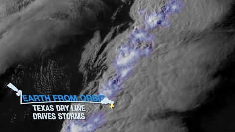
Severe thunderstorms struck Texas. The storms formed along a dry line—a boundary between moist and dry air. The storms caused hail and tornadoes.
Feature Story
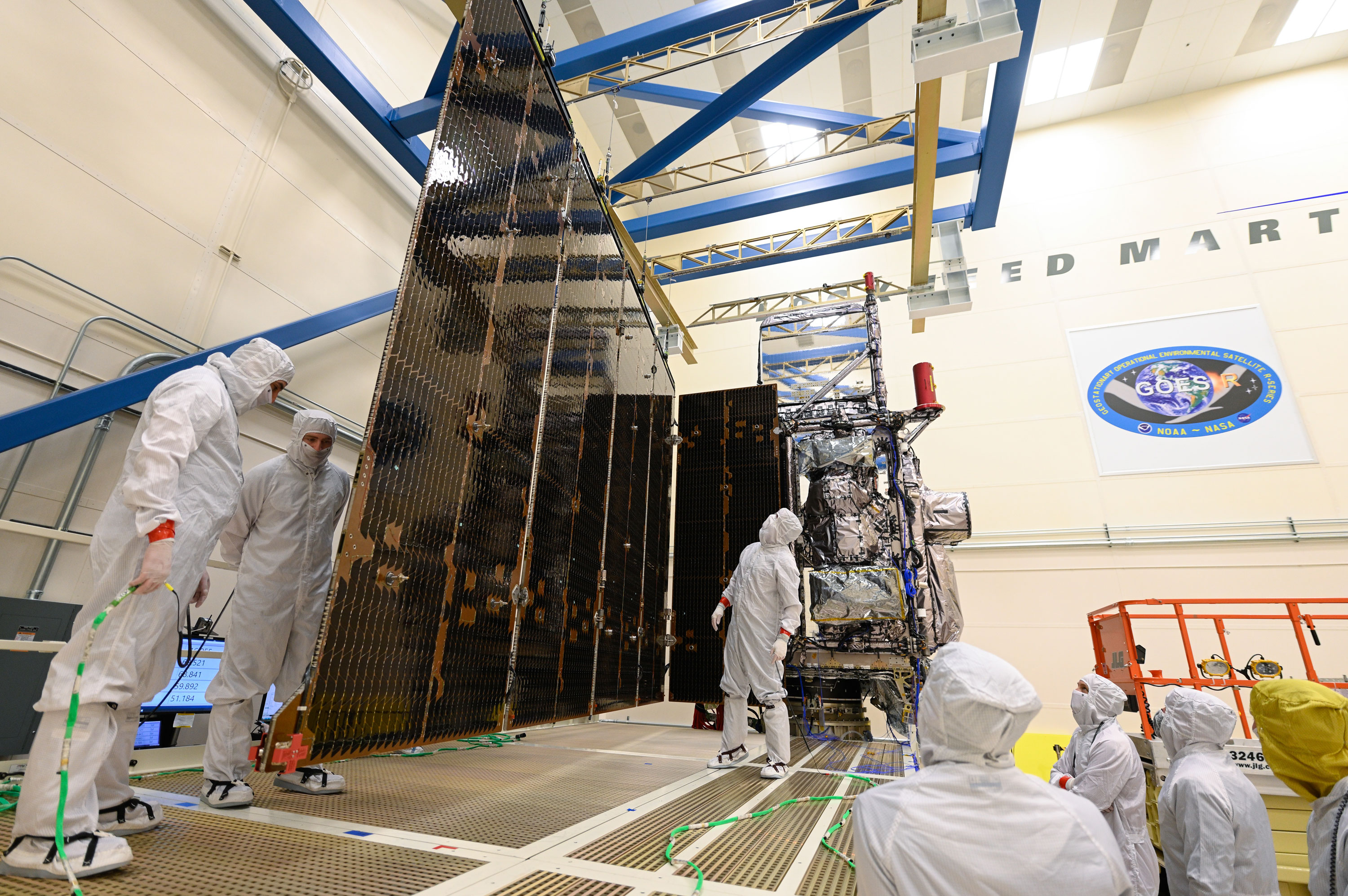
Engineers completed a successful test deployment of the GOES-T satellite's solar array as part of a series of tests to prepare it for launch.
Satellite Snapshots
GOES East viewed von Kármán clouds flowing around Mexico’s Guadalupe Island.
Earth from Orbit

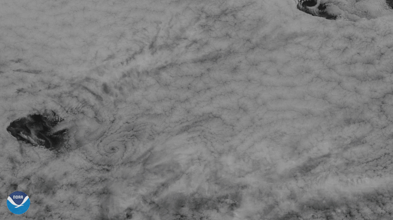
NOAA satellites often see patterns of clouds called gravity waves, which appear as ripples.
Feature Story
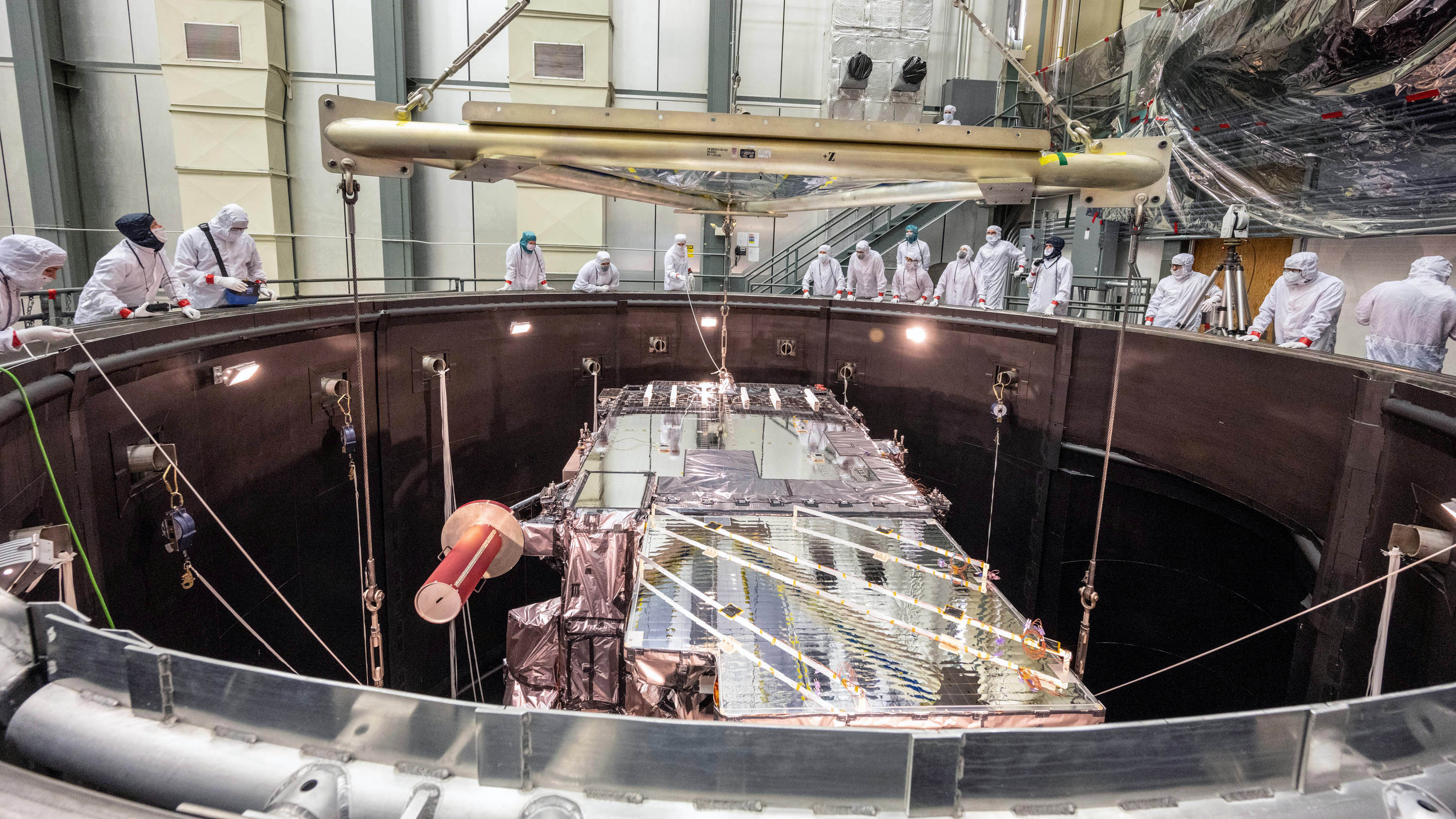
NOAA’s GOES-T satellite recently completed rigorous testing to ensure it can withstand the harsh conditions of launch and orbiting in space.
Earth from Orbit
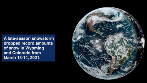
Satellite imagery shows a late-season snowstorm that dropped record-breaking amounts of snowfall in Cheyenne, Wyoming and Denver, Colorado.