
Feature Story
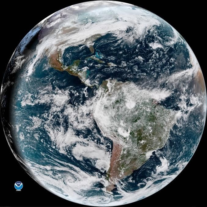
Learn about the Advanced Baseline Imager (ABI), the primary instrument on the GOES-R Series for imaging Earth’s weather, oceans and environment.
Feature Story
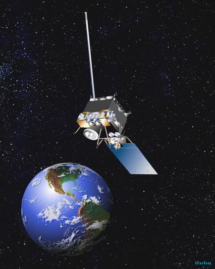
Two new geostationary weather satellites will provide constant watch over the United States and the Western Hemisphere, learn more about them!
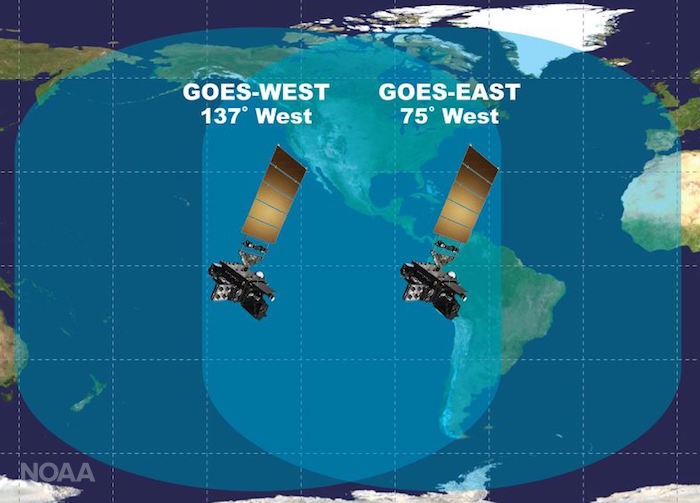
Feature Story
Two new geostationary weather satellites will provide constant watch over the United States and the Western Hemisphere, learn more about them!
Feature Story
Excitement is building for the launch of GOES-S. On March 1, 2018, NOAA’s newest geostationary satellite will launch into…
Satellite Snapshots
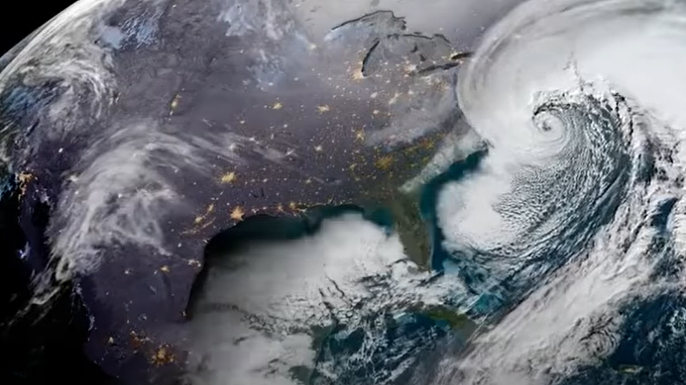
NOAA's GOES East satellite caught a dramatic view of the Bombogenesis 'Bomb Cyclone' moving up the East Coast on the morning of January 4, 2018. The…
Feature Story
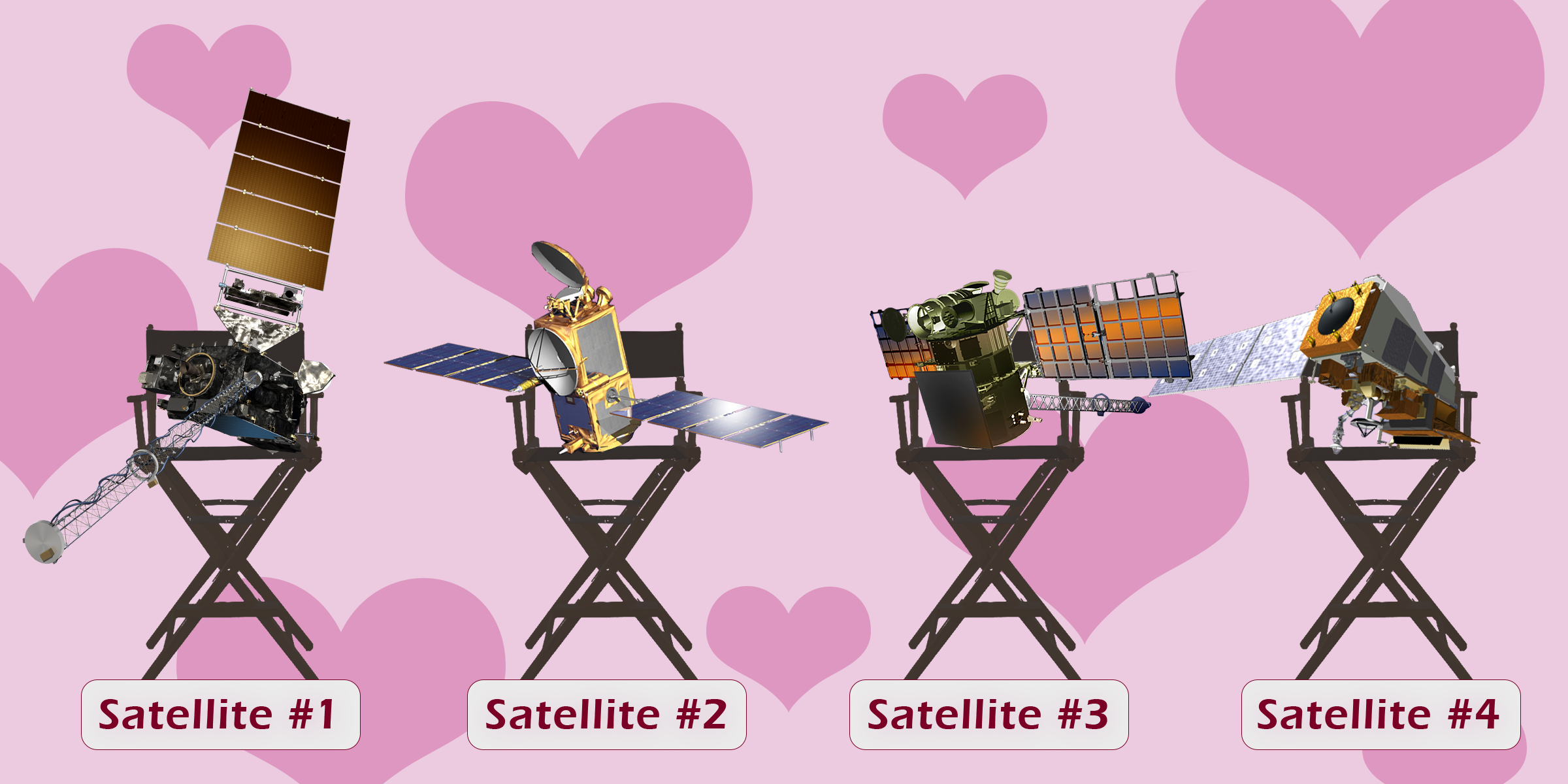
In celebration of Valentine’s Day we have hearts in our eyes as we think about our amazing satellites. They each have…
Feature Story
In celebration of Valentine’s Day we have hearts in our eyes as we think about our amazing satellites. They each have…
Feature Story
In celebration of Valentine’s Day we have hearts in our eyes as we think about our amazing satellites. They each have…