
Feature Story
Every year at midnight on December 31st, the mathematical and mysterious converge as we witness a new year begin! It’s a…
Satellite Snapshots
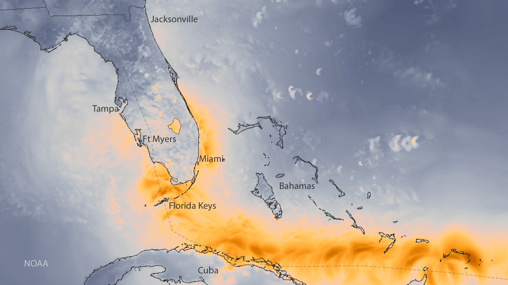
This data visualization shows the maximum wind gusts of Hurricane Irma.
Satellite Snapshots

The official start of astronomical winter, the winter solstice, occurred at 11:28 a.m. Eastern Time this morning, marking the…
Satellite Snapshots

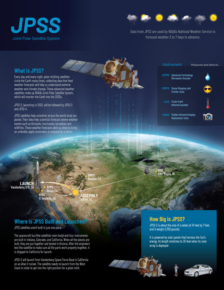
The NOAA-20 polar-orbiting satellite's Visible Infrared Imaging Radiometer Suite (VIIRS) sent back its first day-night band images…
Satellite Snapshots
Twenty-five days after JPSS-1 (NOAA-20) was launched into Earth orbit, the satellite sent back its first Visible Infrared Imagery.
Feature Story
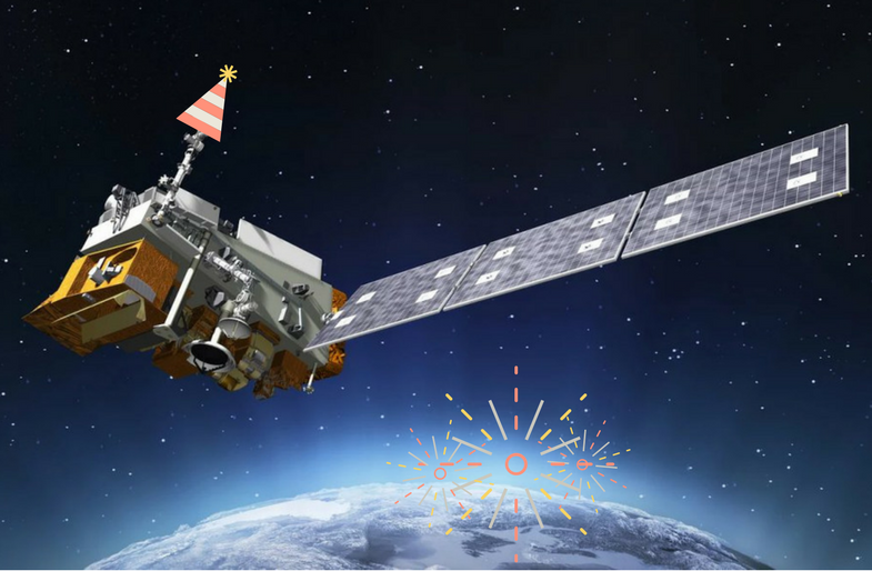
In 2017, the National Oceanic and Atmospheric Administration (NOAA), with the support of their partners at The National Aeronautics and Space…
Feature Story
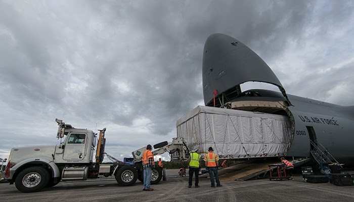
NOAA’s GOES-S, the second in a series of next-generation satellites, headed south for the winter this week as it readies for launch.
Feature Story

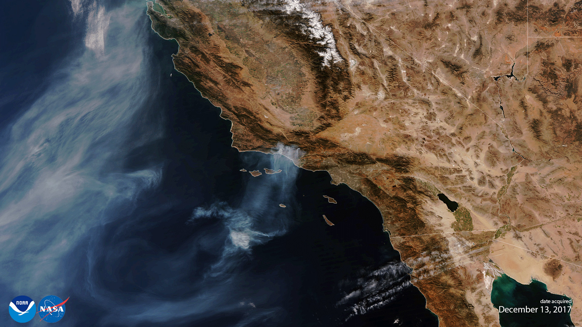
Several large fires continue to burn in California—the nearly 7,000-acre Rye Fire (90% contained), the 4,100-acre Lilac Fire (80% contained) and the l