
Feature Story
Every day, NOAA satellites contribute data to a suite of products known as VOLCAT (or Volcanic Cloud Analysis Toolkit), which NOAA’s Volcanic Ash Advi
Feature Story

NOAA’s Joint Polar Satellite System (JPSS) provides global observations that serve as the backbone of both short- and long-term forecasts, view a number of multimedia presentation on this page.
Announcement
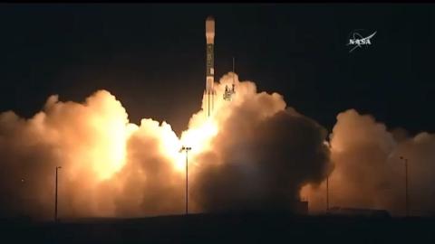
The Joint Polar Satellite System-1, the first in a new series of four highly advanced NOAA polar-orbiting satellites, lifted off from Vandenberg Air F
Feature Story

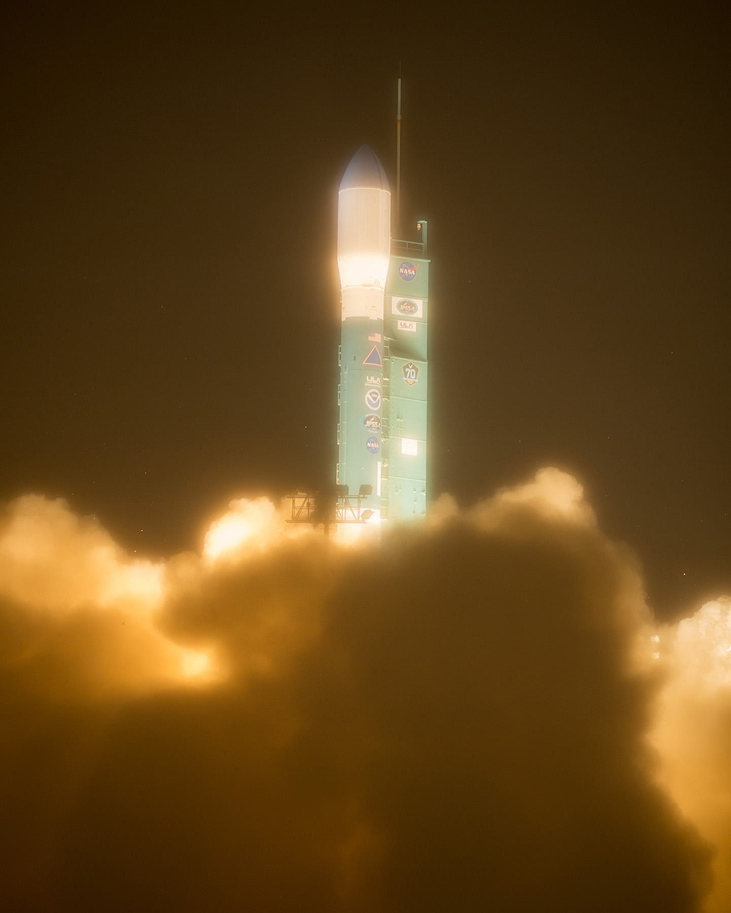
At 1:47 PT, NOAA's JPSS-1 left Space Launch Complex 2 at Vandenberg Air Force Base in California on its way to space.
Feature Story
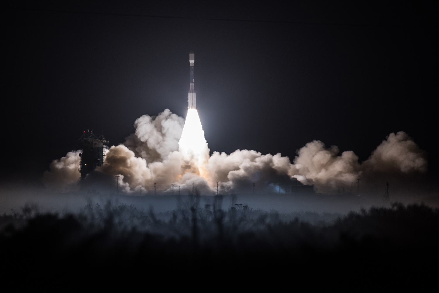
At 1:47 PT, NOAA's JPSS-1 left Space Launch Complex 2 at Vandenberg Air Force Base in California on its way to space.
Satellite Snapshots
At 1:47 PT, NOAA's JPSS-1 left Space Launch Complex 2 at Vandenberg Air Force Base in California on its way to space.
Feature Story
JPSS-1 will orbit Earth and measure its land, ocean, and atmosphere conditions. These measurements will help us predict our weather and understand our
Satellite Snapshots
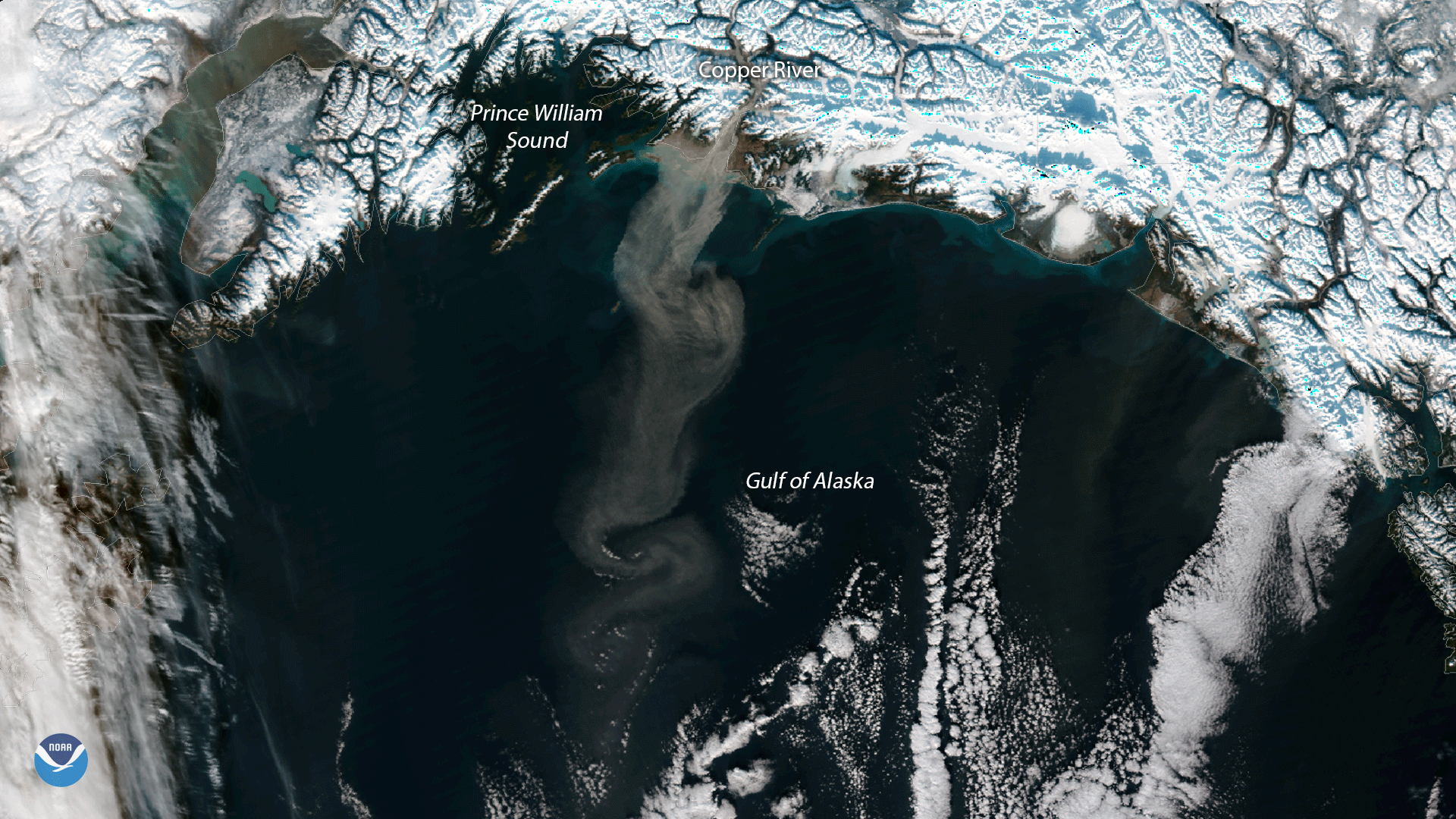
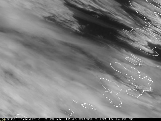
The NOAA/NASA Suomi NPP satellite’s VIIRS instrument captured this plume of glacial dust streaming into the Gulf of Alaska from the…