
Satellite Snapshots
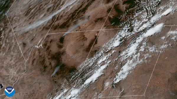
GOES-East satellite focused its Advanced Baseline Imager on wildfires in the four corners region of the western United States.
Satellite Snapshots
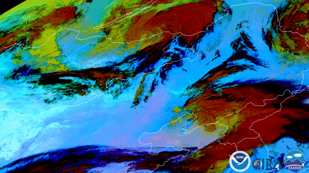
Himawari-8 watched a swirling low pressure storm system kick up dust and sand from the Gobi Desert into China.
Satellite Snapshots
Two years ago today, NOAA announced that its JPSS satellite, NOAA-20, was fully operational.
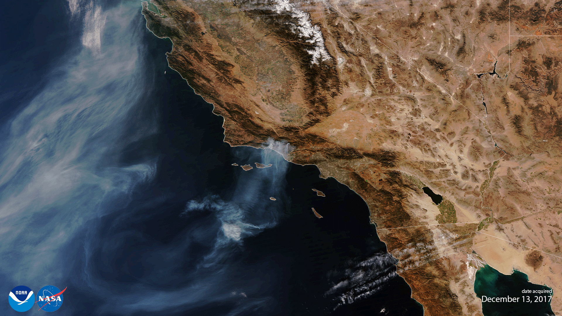
Satellite Snapshots
On the morning of Saturday, April 25, 2020, the GOES-East satellite spied dark, dense smoke billowing from the city of Bachaquero,…
Satellite Snapshots
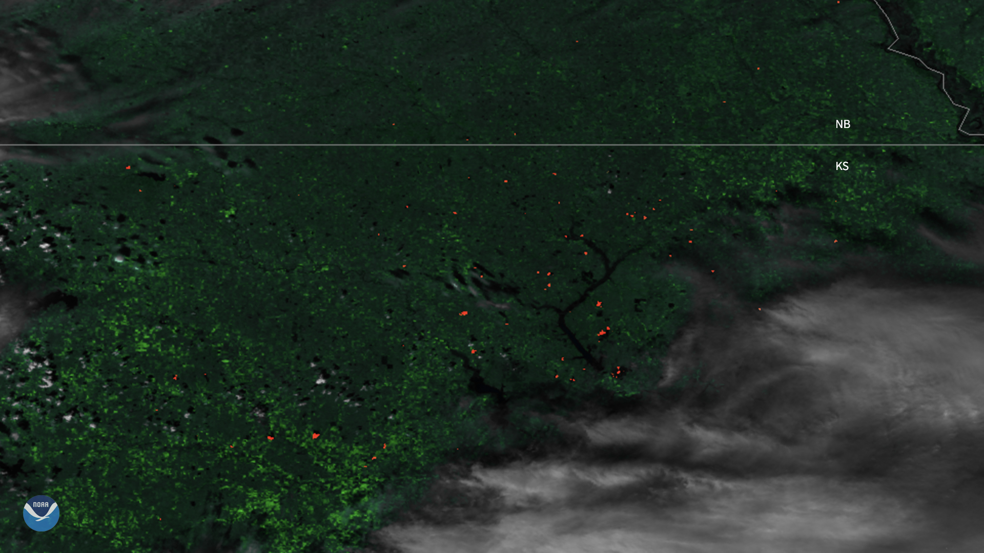
The Suomi-NPP satellite captured imagery of fires dotting Kansas as it passed overhead.
Satellite Snapshots
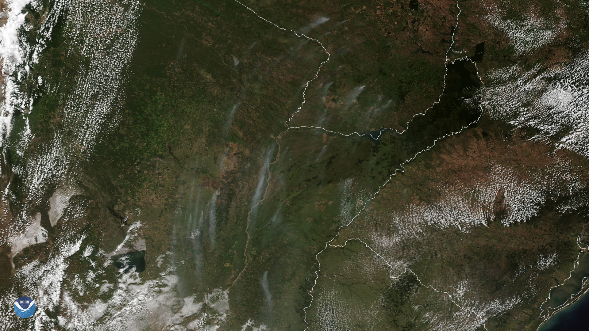
On March 24, 2020, NOAA’s GOES-East satellite zoomed in on wispy smoke plumes from fires burning in Argentina and Paraguay. These vast…
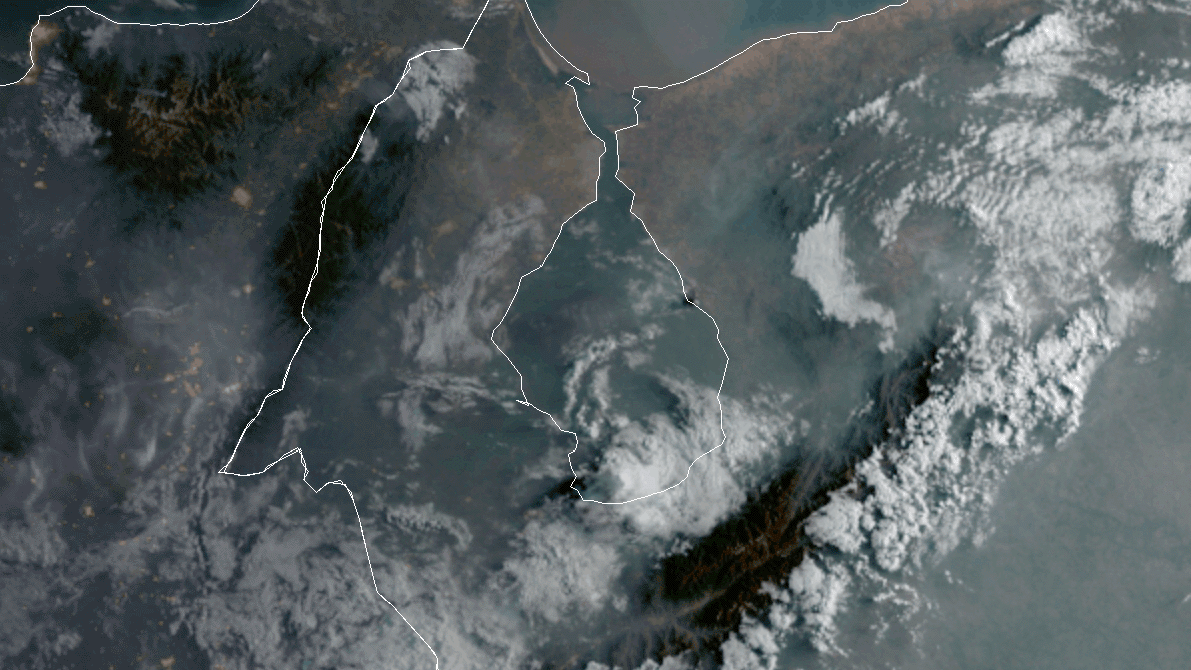
Satellite Snapshots
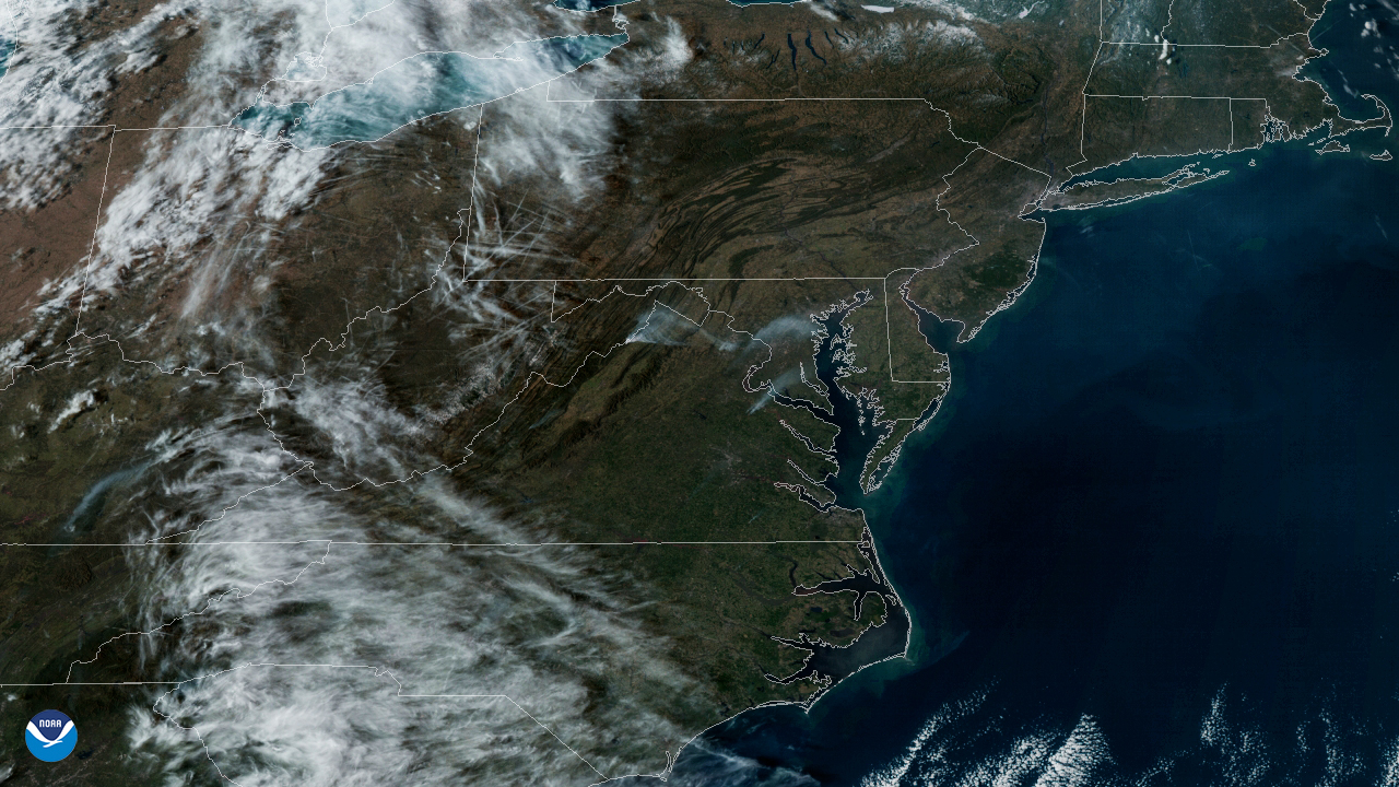
On March 8, 2020, the GOES-East satellite viewed the Washington, D.C. metro area as haziness covered the region from a prescribed burn…
Satellite Snapshots
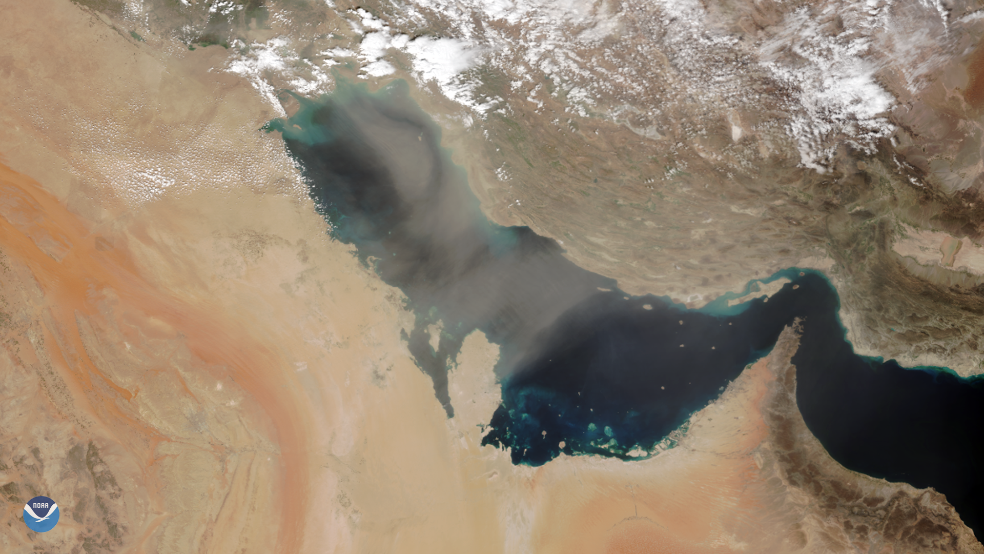
As NOAA-20 passed over the Middle East on March 8, 2020, it captured this image of dust blowing over the Persian Gulf. Dust storms are…