
Feature Story
NOAA’s satellite imagery and data were the foundation of 2019’s life-saving forecasts throughout the 14 billion-dollar disasters.
Satellite Snapshots
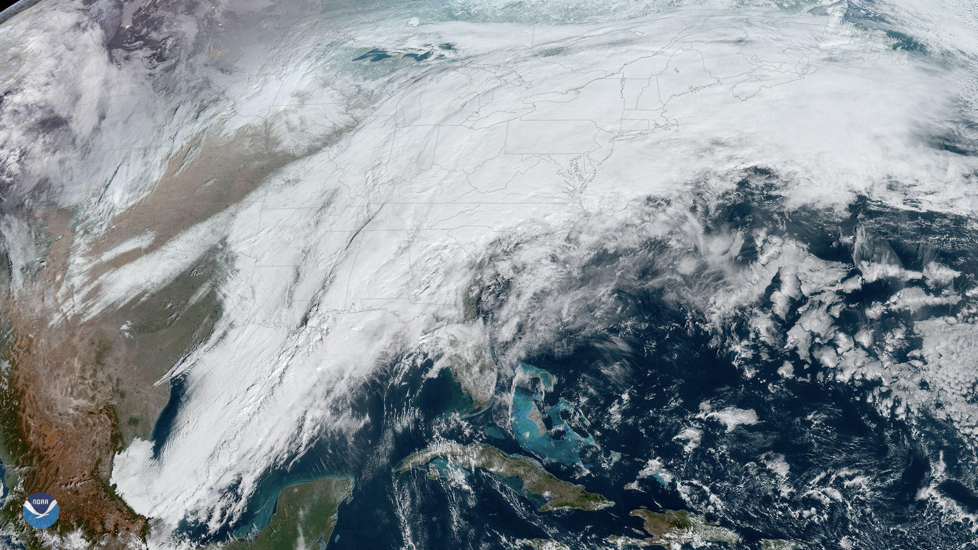
On Thursday, Feb. 6, 2020, the GOES-East satellite is watching a large winter storm stretching roughly 2,000 miles across the U.S.,…
Satellite Snapshots
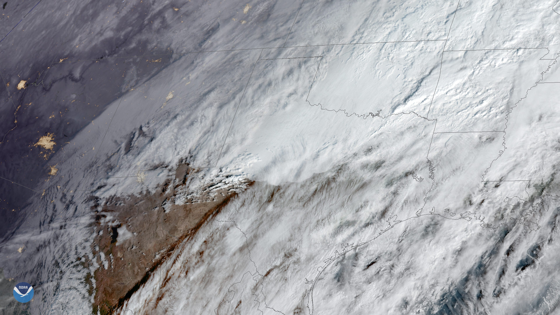
February 04, 2020 On Feb. 4, 2020, GOES-East captured this imagery of low-level stratus clouds as they moved across Texas behind a cold front, while…
Satellite Snapshots
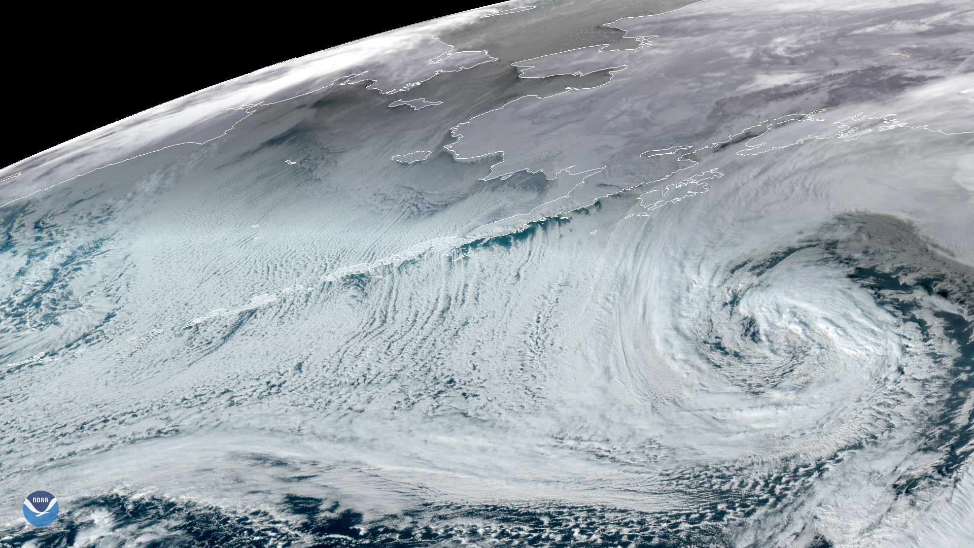
A potent extratropical cyclone, seen by GOES-West on Jan. 28, 2020, is slowly making its way eastward across the Gulf of Alaska,…
Satellite Snapshots
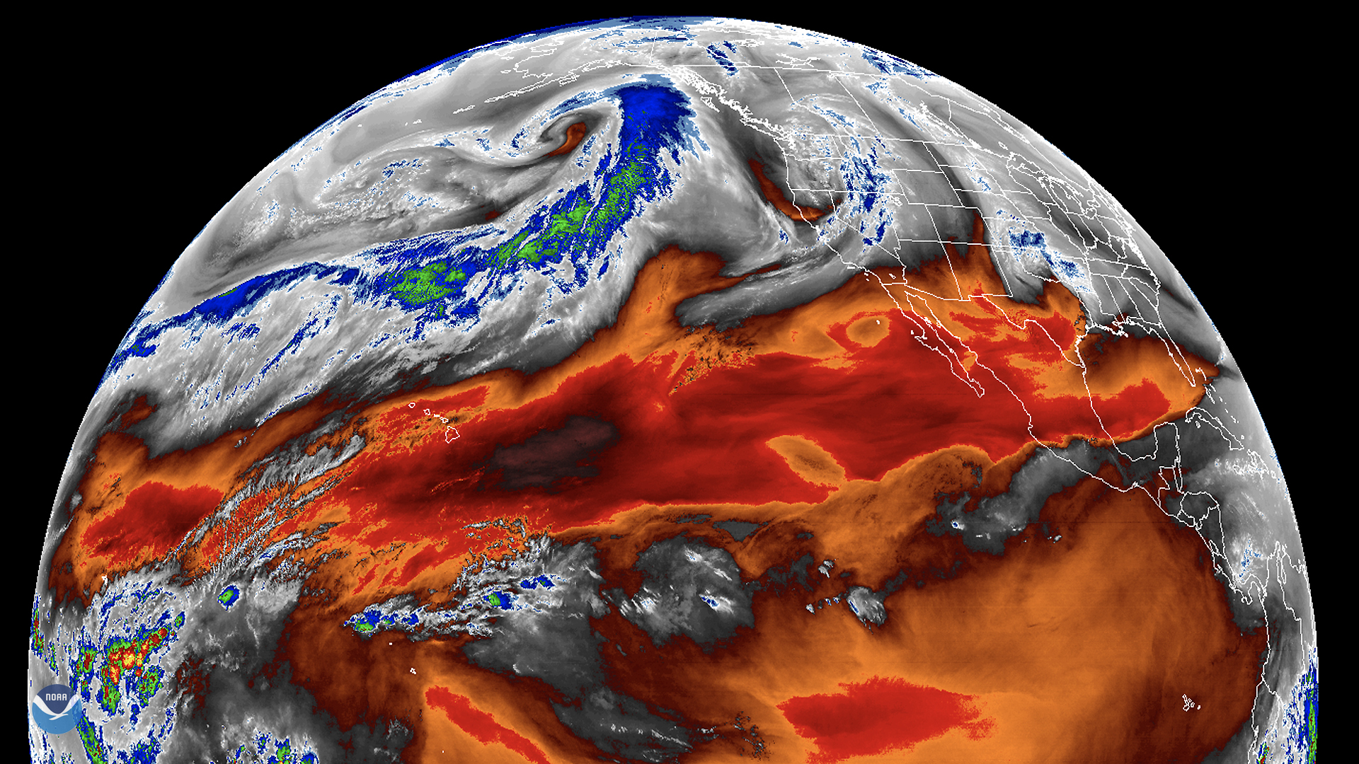
On Jan. 28, 2020, the GOES West satellite traced the path of an atmospheric river flowing across the northern Pacific Ocean. A…
Satellite Snapshots
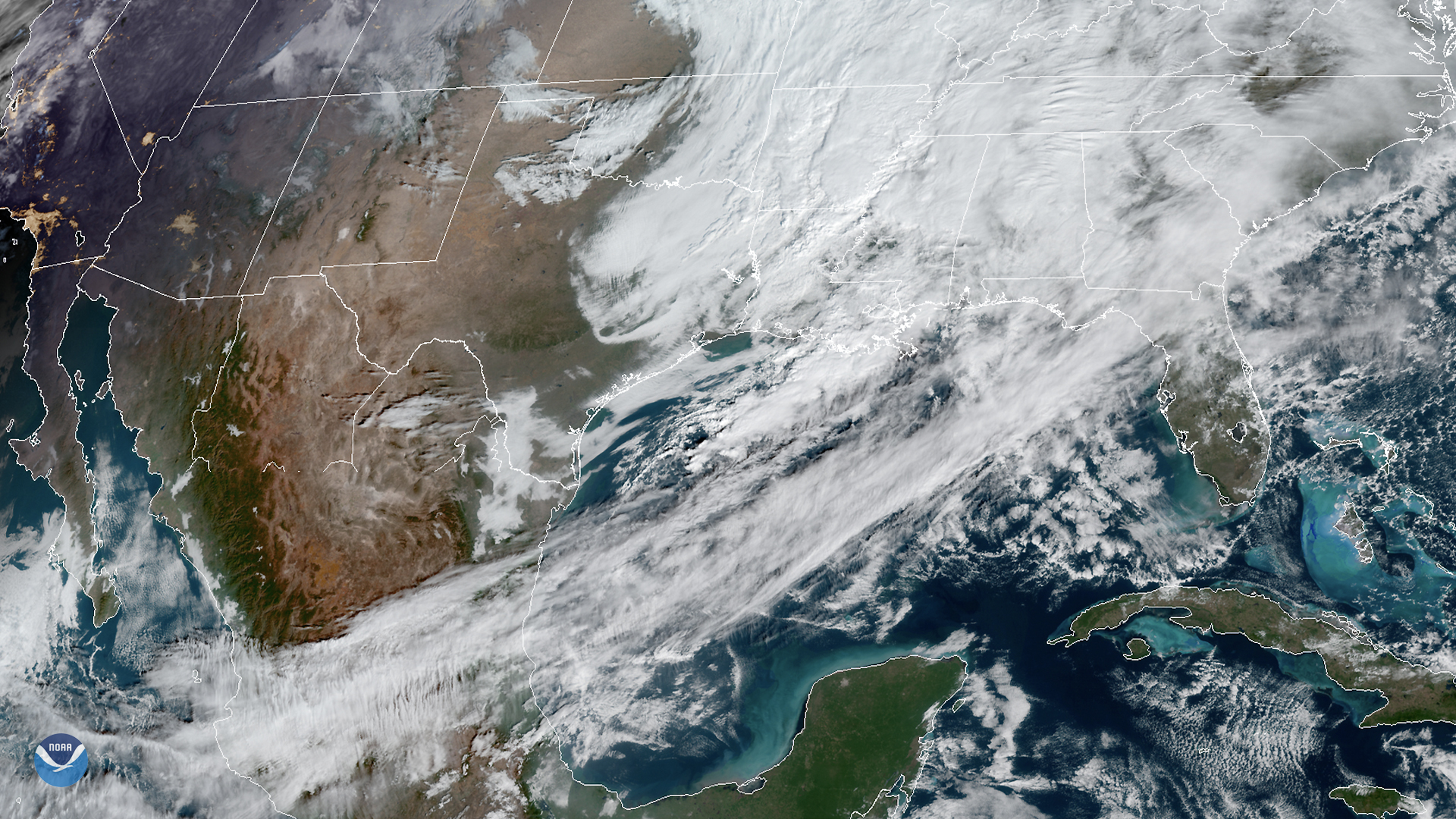
The GOES East satellite viewed strong southwesterly winds ahead of a cold front traversing the Gulf of Mexico. The…
Satellite Snapshots
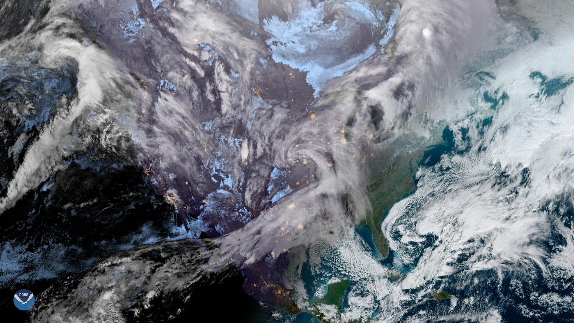
The GOES East satellite captured this Geocolor image of the United States as the sun rose over the East Coast on Jan. 22, 2020. Seen…
Satellite Snapshots
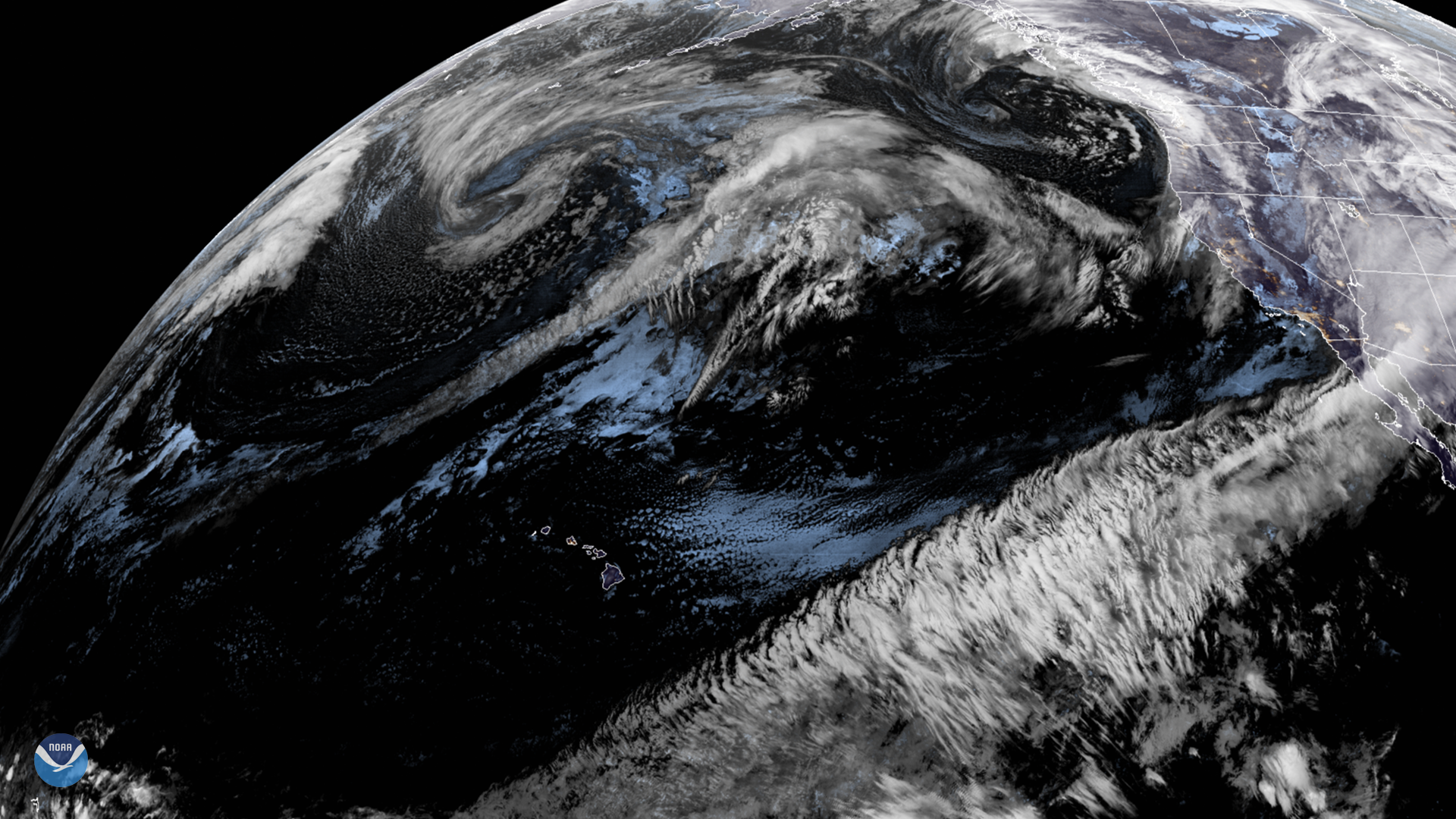
On Jan. 21, 2020, GOES West viewed a strong flow of moisture streaming across the Pacific toward the western coast of the U.S. This…