
Satellite Snapshots
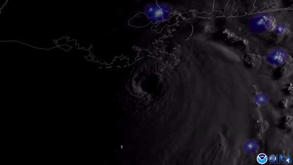
NOAA’s GOES East satellite was closely watching the swirling clouds and flashing lightning associated with major Hurricane Ida on August 29, 2021.
Earth from Orbit
As we approach the peak of Atlantic hurricane season, activity in the tropics has ramped up.
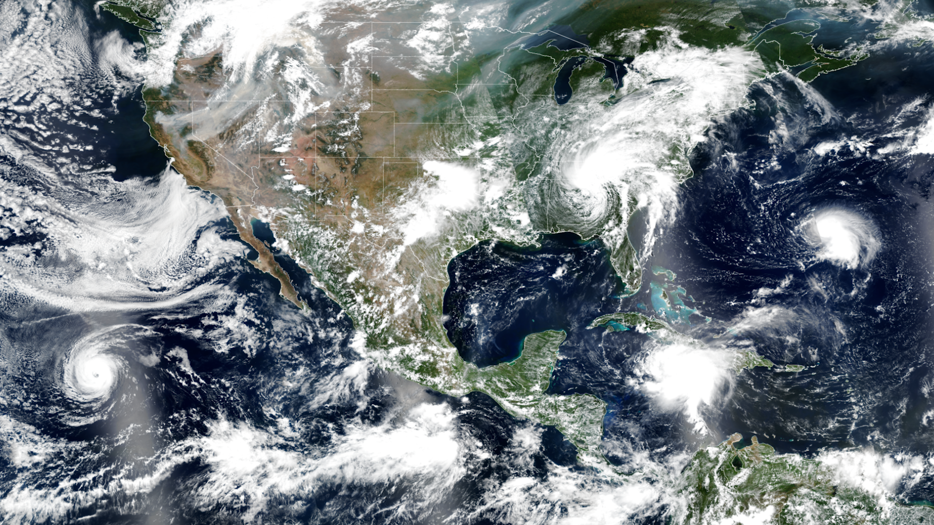
Earth from Orbit
As we approach the peak of Atlantic hurricane season, activity in the tropics has ramped up.
Satellite Snapshots
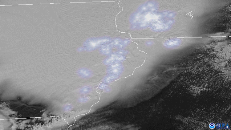
On August 10, 2020, both NOAA’s GOES East and NOAA-20 satellites tracked severe thunderstorms as they raced across much of the Midwest.
Satellite Snapshots
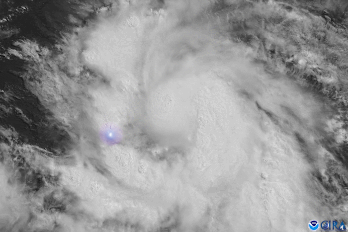
Tropical Storm Elsa, which formed on July 1, became the earliest-forming fifth named storm on record over the Atlantic Ocean.
Earth from Orbit
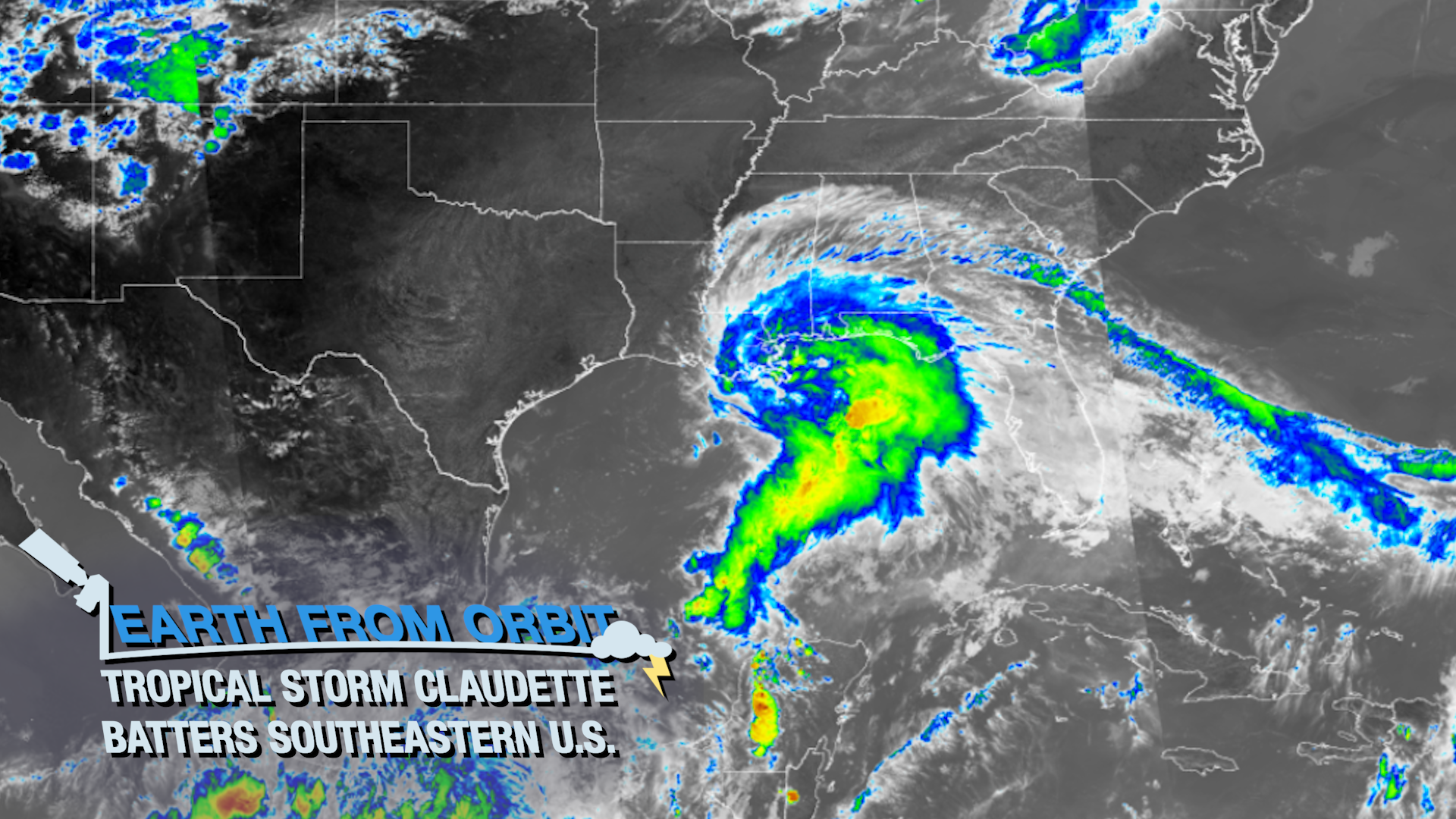
This past weekend, NOAA satellites closely monitored Tropical Storm Claudette, the third named storm of the 2021 Atlantic hurricane season.
Satellite Snapshots

Tropical Storm Claudette made landfall along the northern Gulf Coast of the U.S
Earth from Orbit
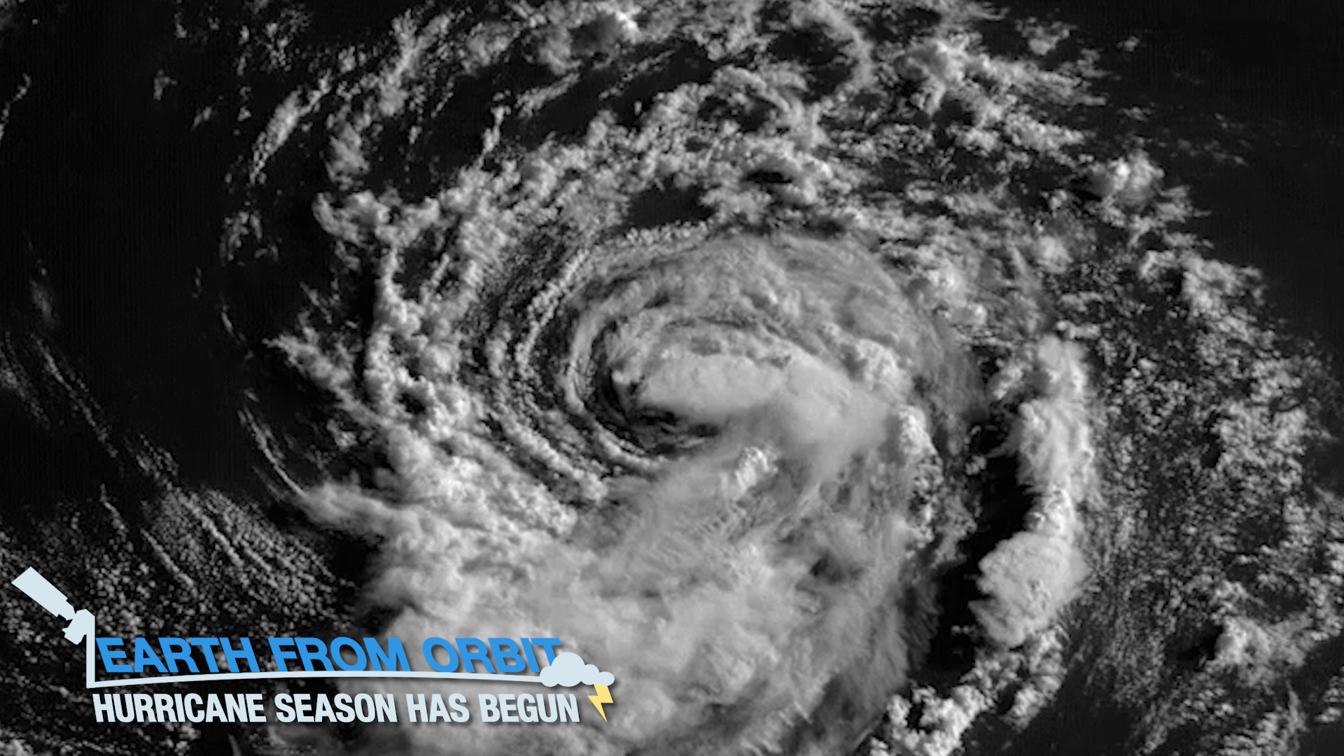
The 2021 hurricane season is officially underway. June 1 marked the beginning of the Atlantic hurricane season.