
Satellite Snapshots
GOES East satellite’s visible channel watched the anvil-shaped cloud tops of severe thunderstorms bubble up over western Kansas
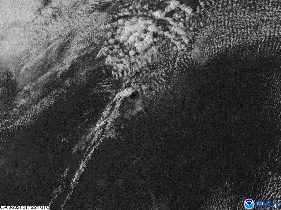
Satellite Snapshots

This Image of the Day features spectacular visible imagery of supercell thunderstorms developing over Texas, seen by the GOES East satellite.
Satellite Snapshots
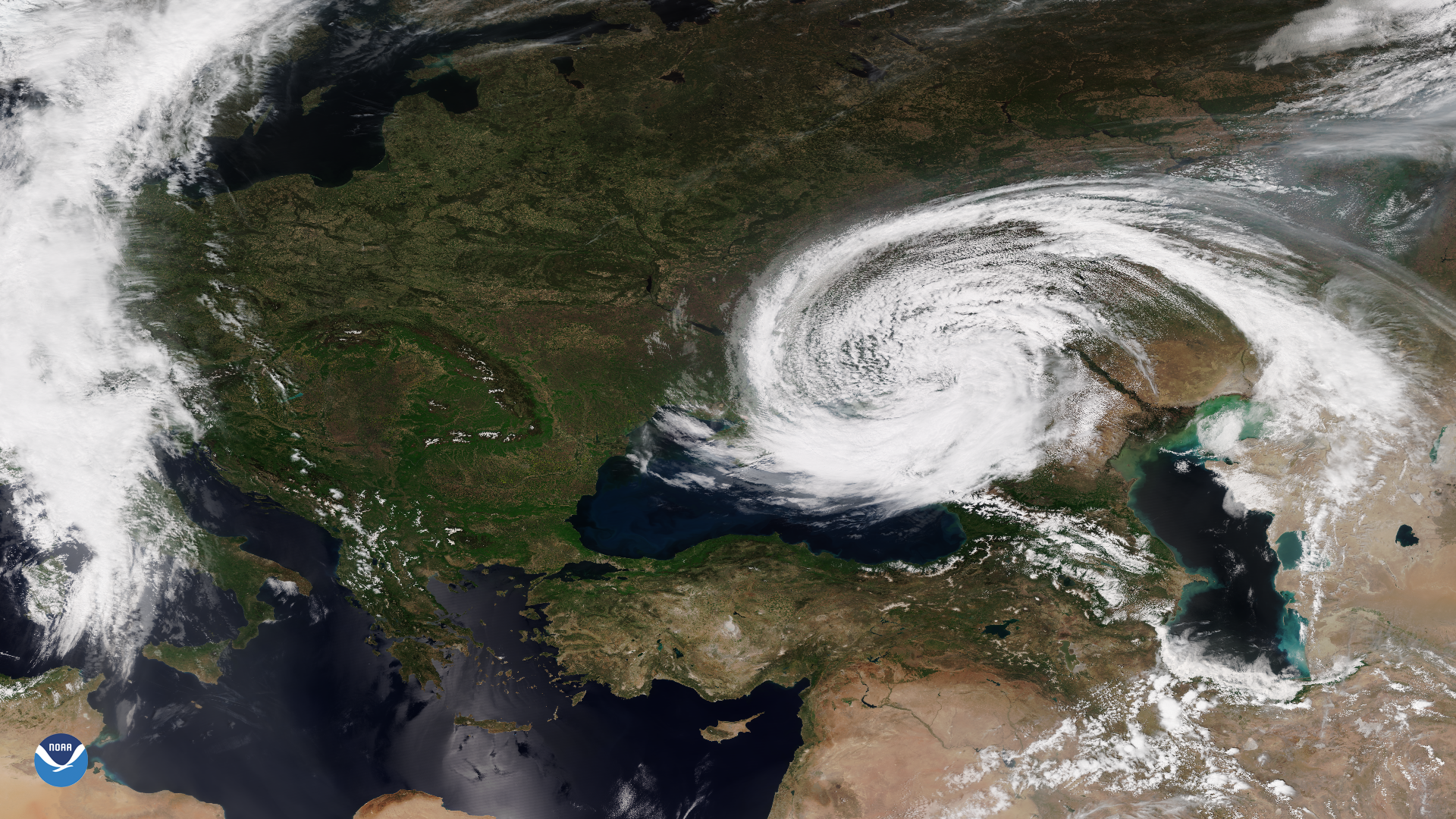
The VIIRS instrument onboard the NOAA-20 satellite captured this imagery of an unusual mid-latitude cyclone swirling around the Black Sea.
Earth from Orbit
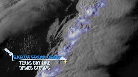
Severe thunderstorms struck Texas. The storms formed along a dry line—a boundary between moist and dry air. The storms caused hail and tornadoes.
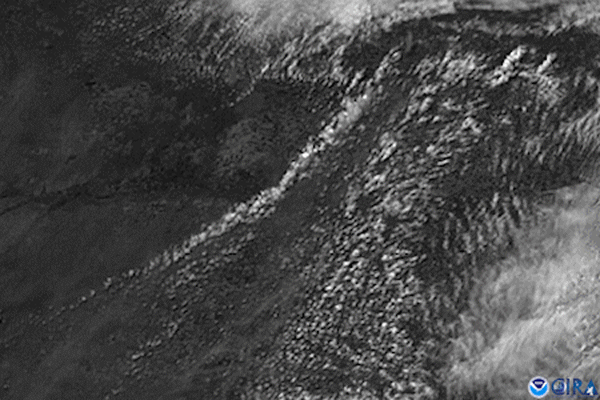
Satellite Snapshots
GOES East captured amazing visible imagery of large thunderstorms as they erupted over Texas. The Geostationary Lightning Mapper tracked lightning
Satellite Snapshots
The GOES East satellite watched a massive supercell push across south-central Texas. The storm produced damaging winds and very large hail.
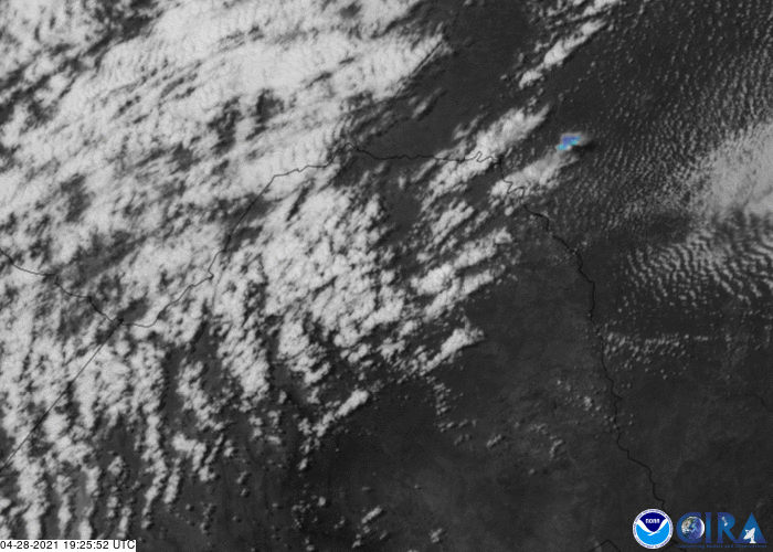
Feature Story
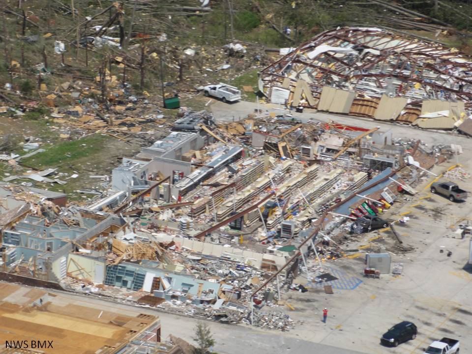
This week marks the tenth anniversary of one of the largest, deadliest, and most destructive tornado outbreaks in United States.
Satellite Snapshots
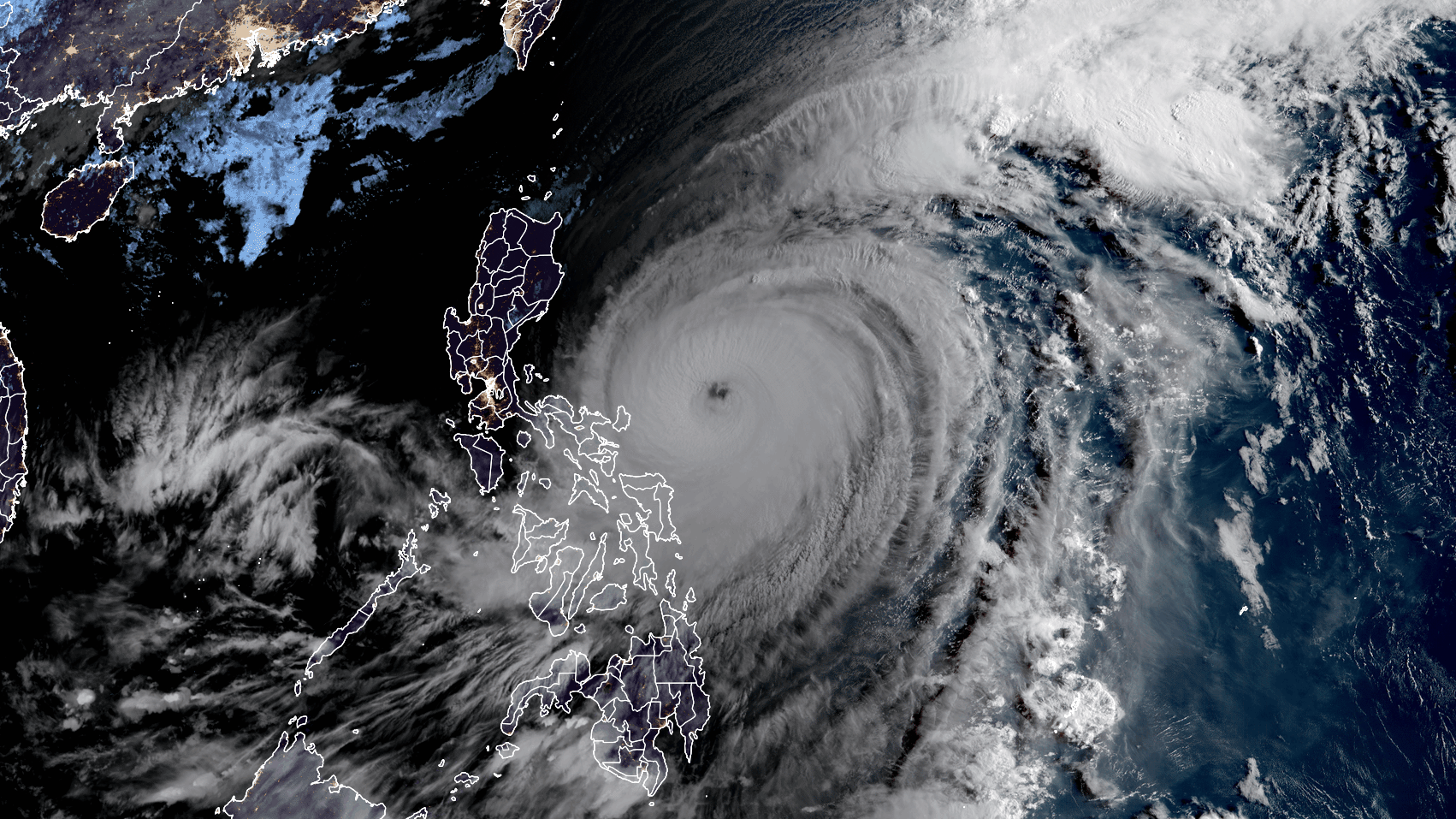
April 19, 2021 The Himawari-8 satellite, operated by our partners at the Japan Meteorological Agency, is closely monitoring Typhoon Surigae, known in…