
Satellite Snapshots

Satellite science is fun for kids too! From weather and hazards on Earth to search and rescue and bursts of energy from the sun, the GOES-R satellite…
Feature Story
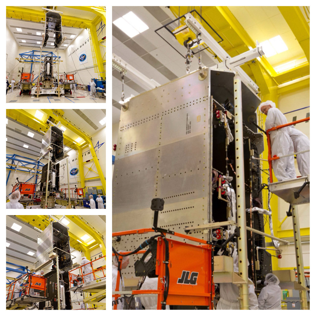
The GOES-R satellite System Module and Core Module subassemblies were successfully mated and now form the GOES-R spacecraft.
Feature Story

Four of the six instruments that will fly on the GOES-R satellite ere delivered to Lockheed Martin in Denver for integration onto the spacecraft bus.
Satellite Snapshots
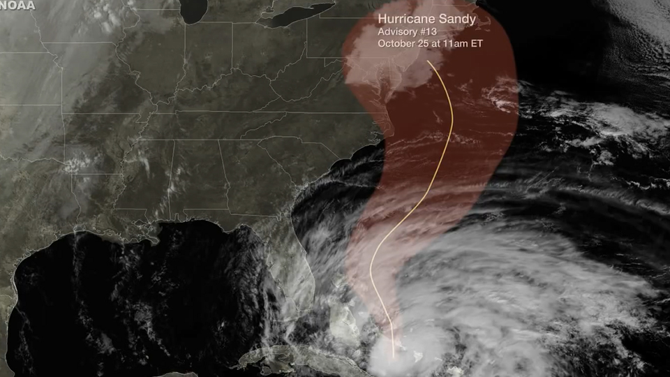
Five days before Sandy made landfall along the New Jersey coastline, NOAA's National Hurricane Center accurately projected the storm's path. This…
Satellite Snapshots
As the NOAA GOES-13 satellite provides on-going operational coverage of Hurricane Sandy, a special Super Rapid Scan Operations (SRSO) has been…
Satellite Snapshots
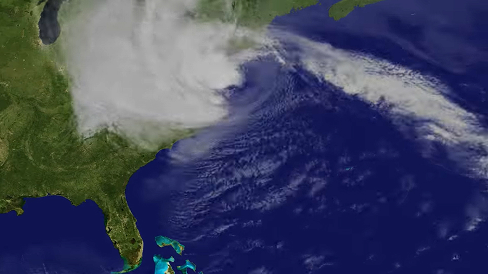
Hurricane Sandy October 2012 follows up the US east coast and devastates New York and New Jersey.
Satellite Snapshots
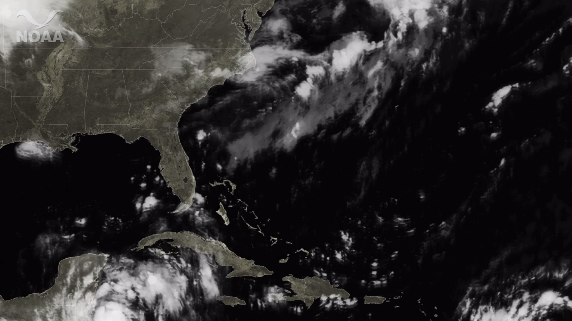
Four days before Hurricane Irene struck eastern North Carolina and tracked northward, NOAA's National Hurricane Center accurately projected the storm…
Satellite Snapshots
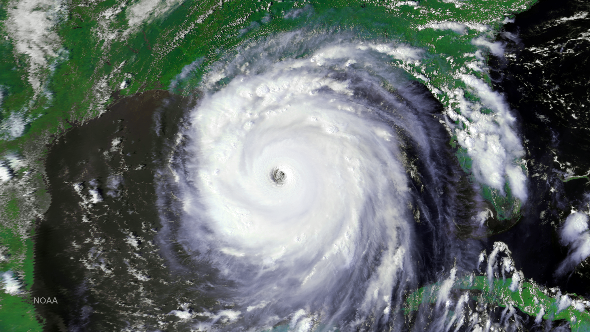
Hurricane Katrina imagery from GOES East including rapid scan data from August 22 through September 1, 2005.