
Feature Story
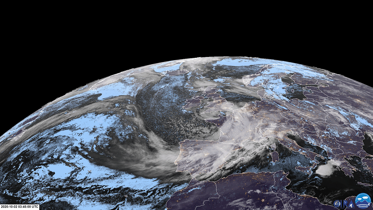
Thursday, December 24, 2020 Earlier this month, a young weather fan’s mother contacted our offices at NOAA’s Center for Satellite Applications and…
Satellite Snapshots
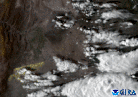
GOES East caught a haboob, or sandstorm, as it swept through the dry Argentine plains..
Satellite Snapshots
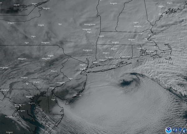
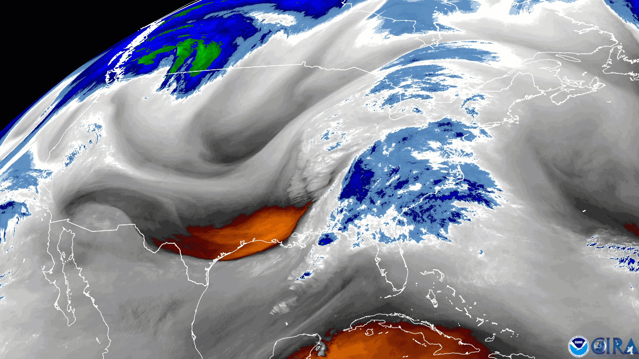
This nor-easter started to develop Wednesday morning, Dec. 16, where snow, ice, and rain stretched from the Southeast up into the Mid-Atlantic
Satellite Snapshots
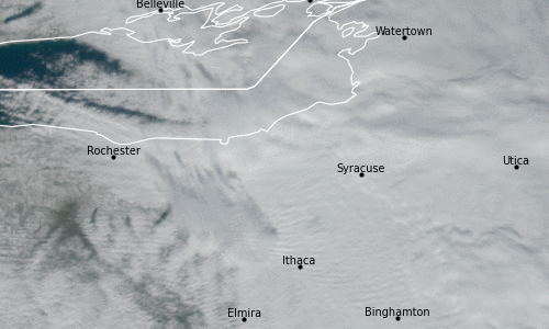
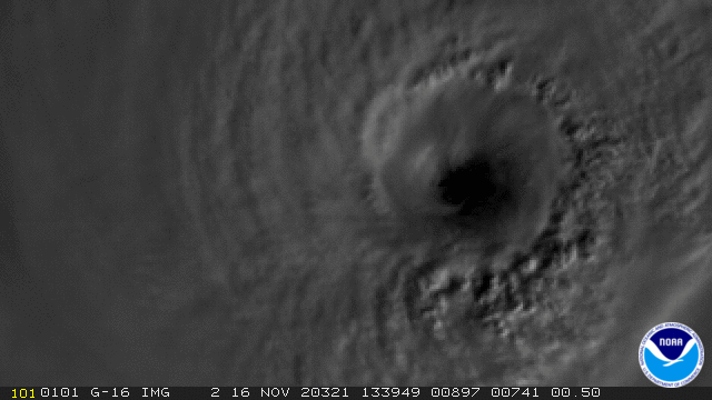
Geostationary Lightning Mapper (GLM) onboard the GOES East satellite detects atmospheric anomaly over upstate New York
Satellite Snapshots
NOAA’s GOES East satellite captured a strong storm system that pushed through along the eastern United States, using the satellite…
Satellite Snapshots
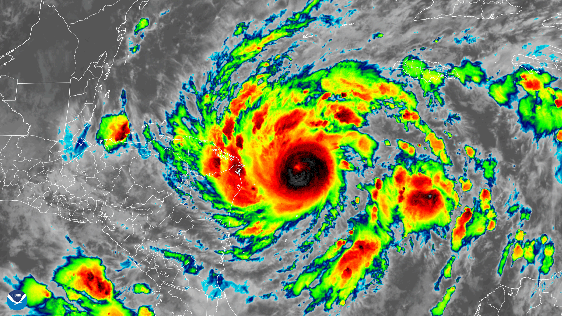
GOES-East satellite captured this GeoColor and GLM lightning composite image loop of powerful Hurricane Iota.
Feature Story

Monday, November 30, 2020Photo credit: Space Science and Engineering Center/Greg Anderson PhotographyJim Kossin is an atmospheric research scientist…
Satellite Snapshots
Early on November 2, 2020, the GOES-East satellite watched Tropical Storm Eta strengthen into a hurricane over the Caribbean Sea…