
Satellite Snapshots
GOES-East satellite captured this GeoColor imagery of an expansive plume of dust from the Sahara Desert traveling westward.
Satellite Snapshots
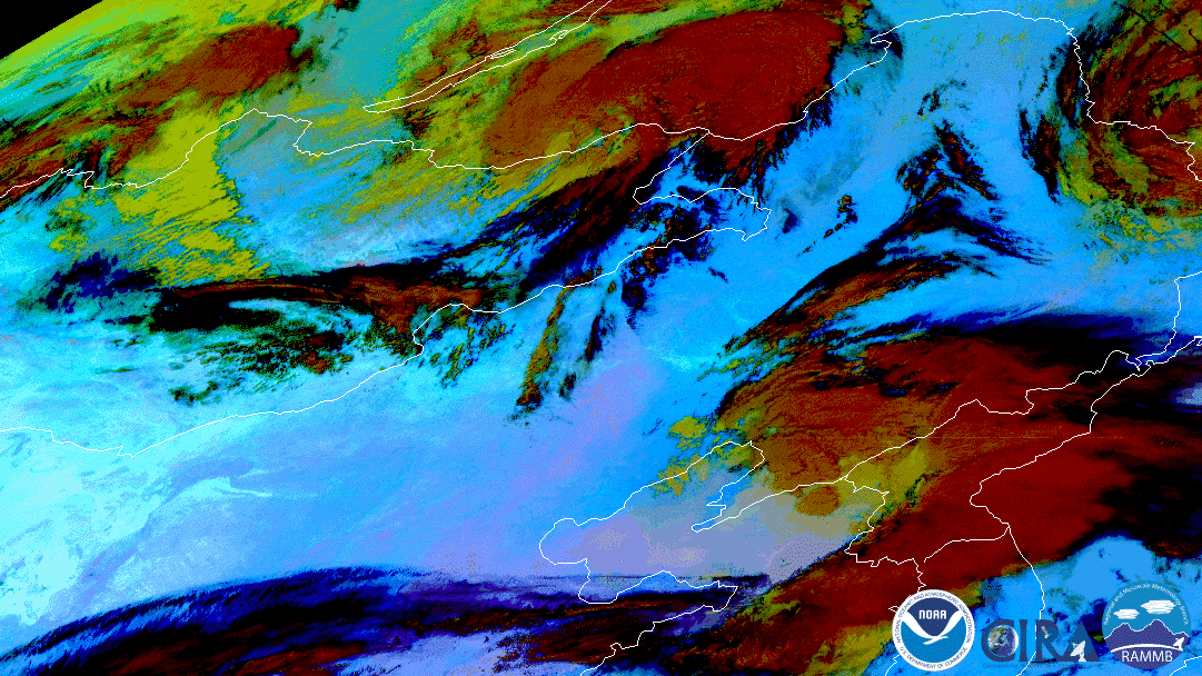
Himawari-8 watched a swirling low pressure storm system kick up dust and sand from the Gobi Desert into China.
Satellite Snapshots
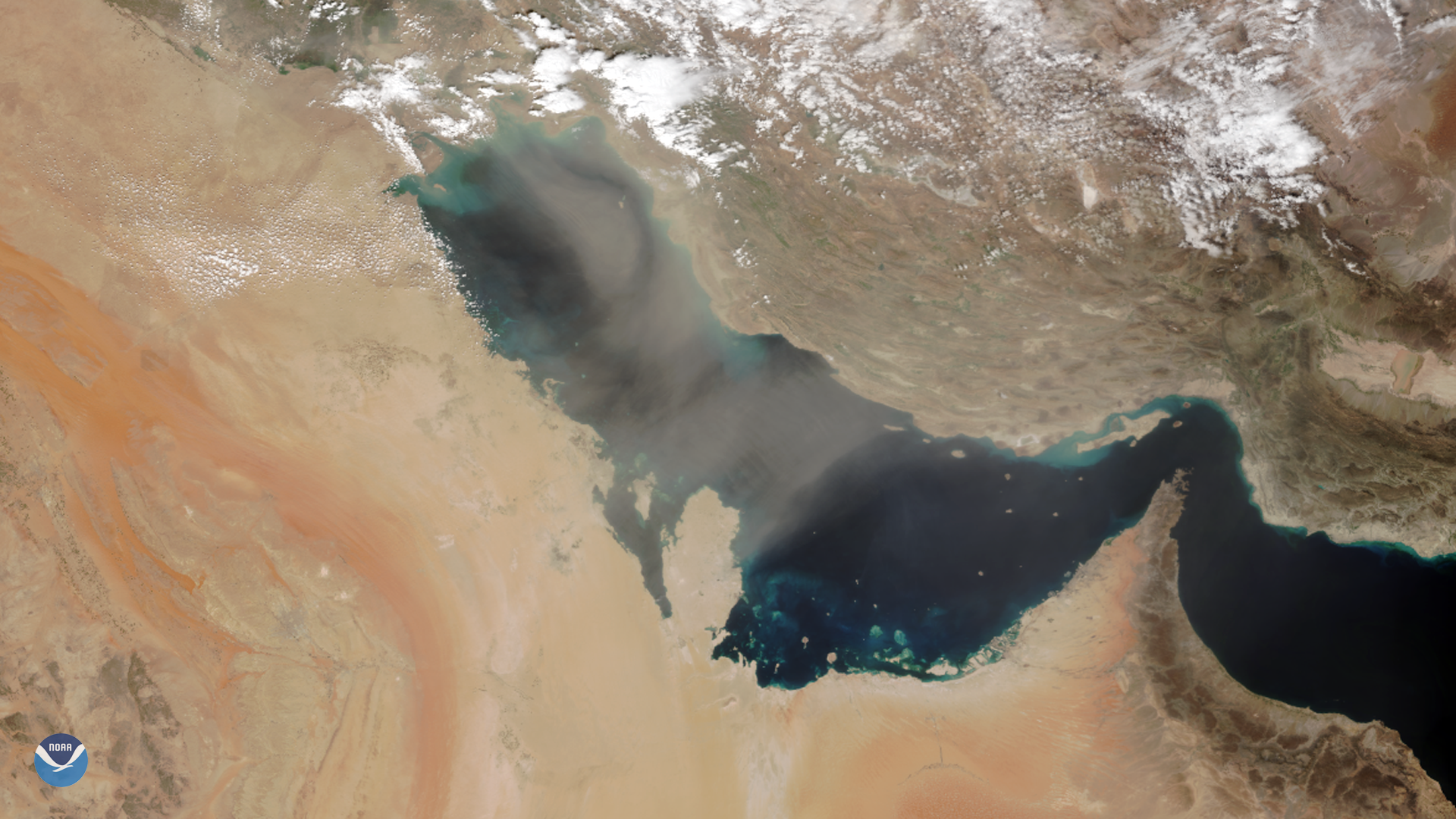
As NOAA-20 passed over the Middle East on March 8, 2020, it captured this image of dust blowing over the Persian Gulf. Dust storms are…
Satellite Snapshots
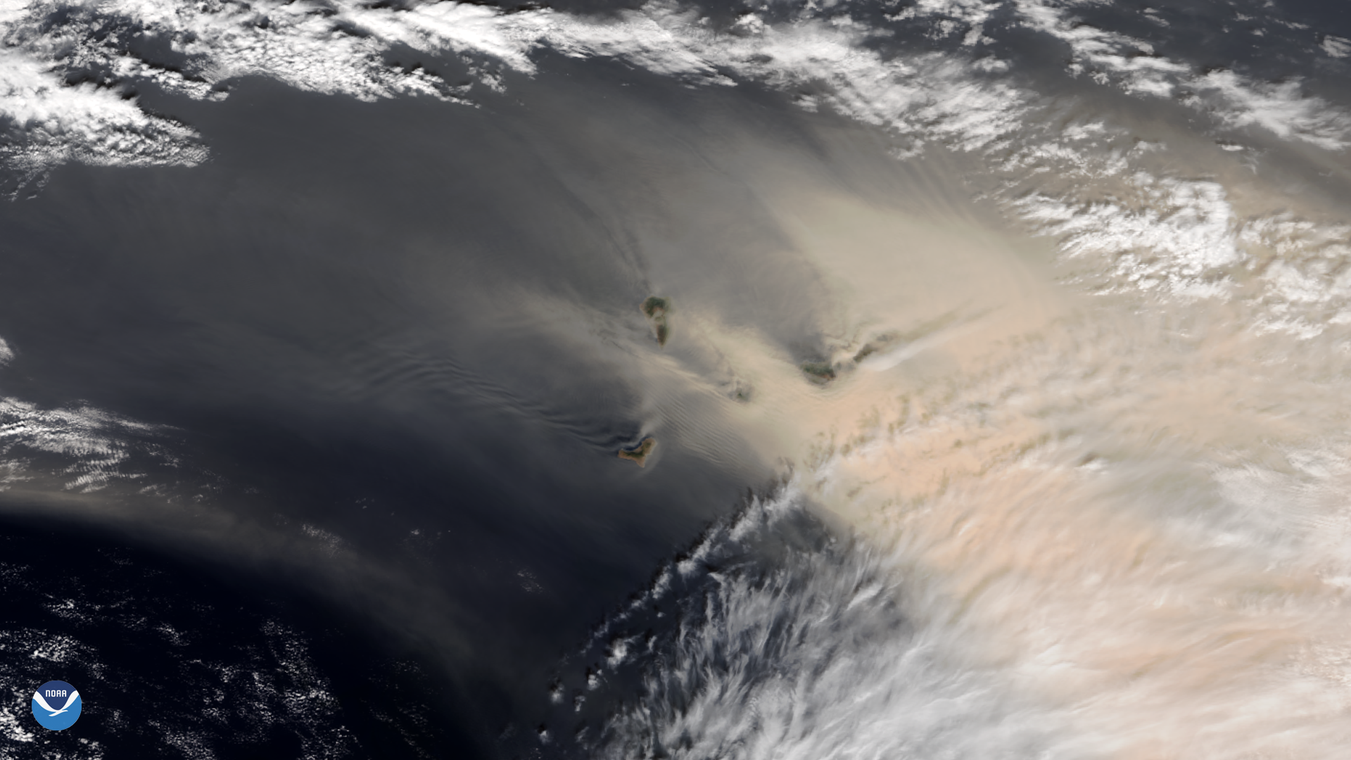
NOAA-20 satellite zoomed in on a strong sandstorm that began blowing large amounts of reddish dust from the Sahara Desert.
Satellite Snapshots
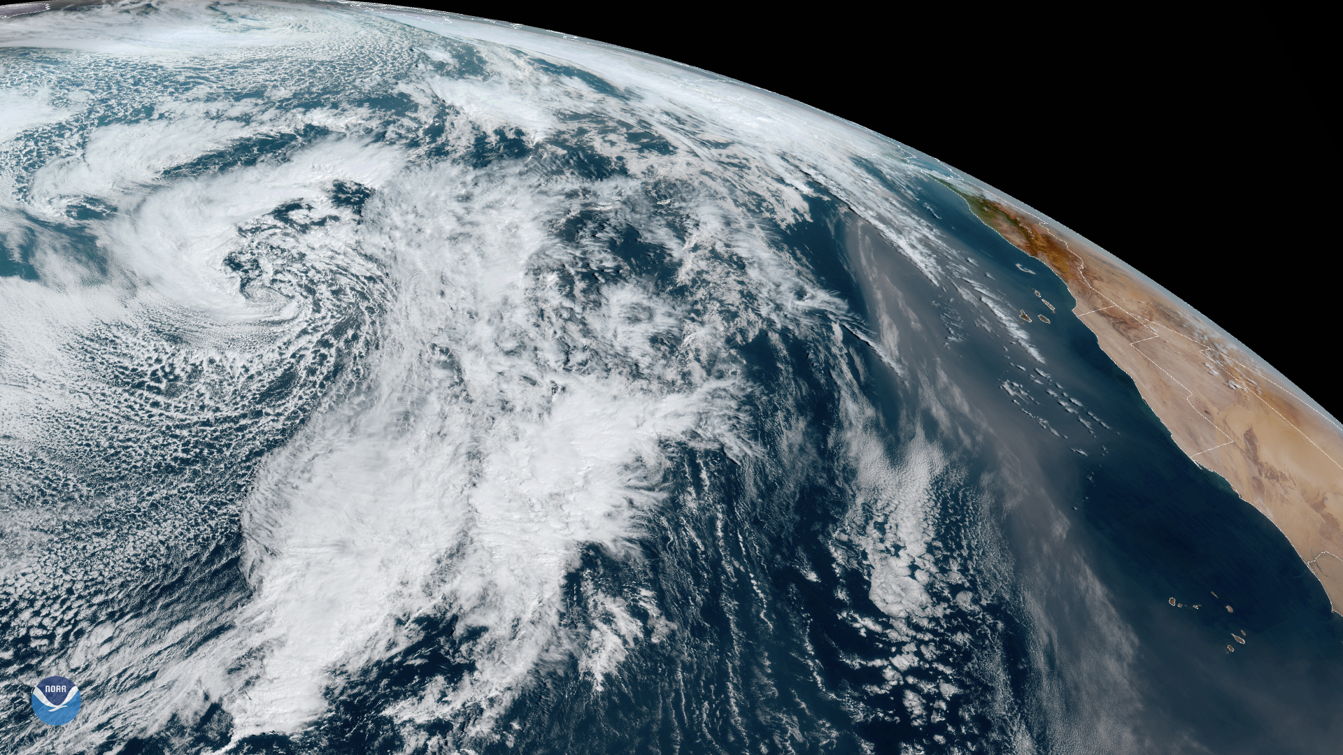
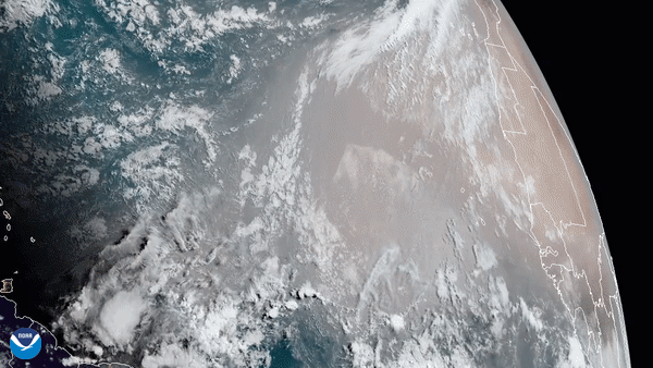
Numerous atmospheric events are taking place in this dynamic shot from GOES-East, taken on Jan. 31, 2020.
Satellite Snapshots
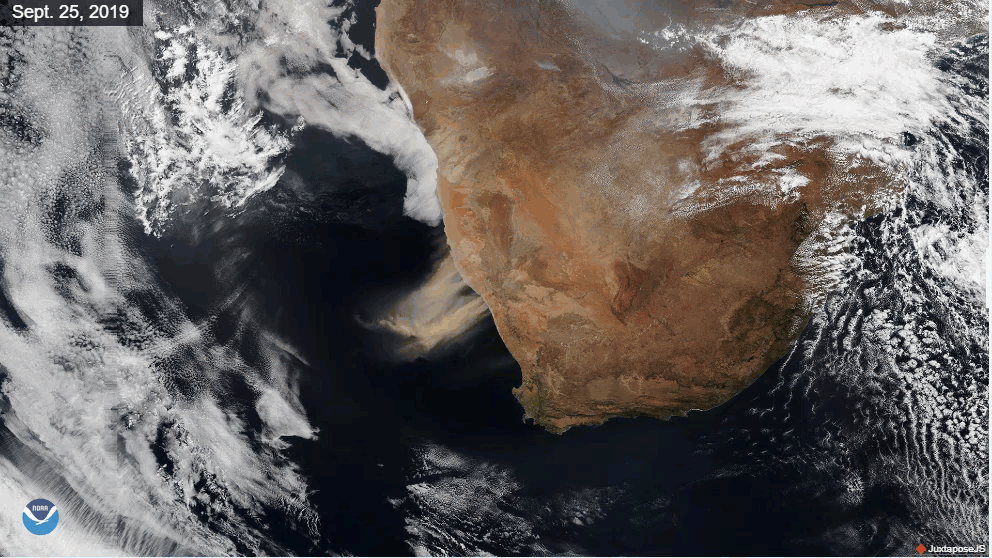
Very strong winds over southern Africa kicked up huge plumes of dust and sand, turning the skies an earthy red on Sept. 25, 2019.
Satellite Snapshots
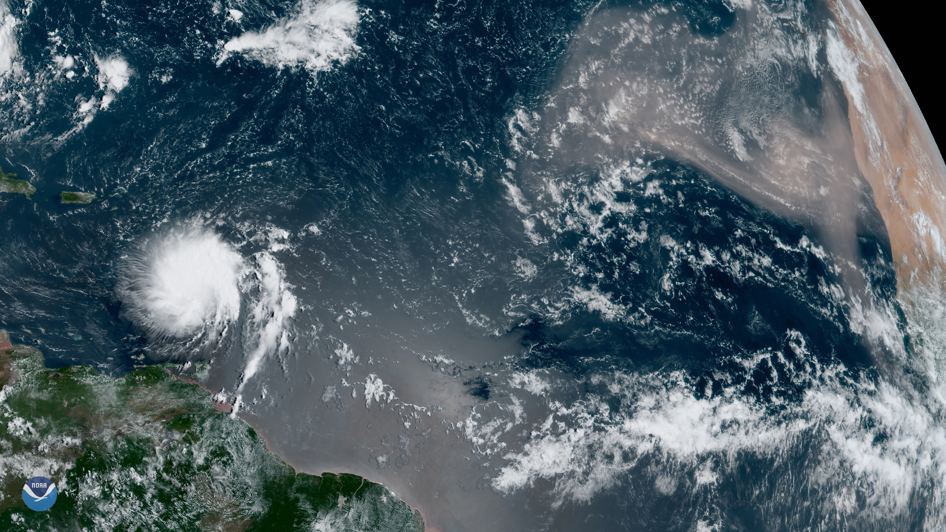
Although we’re inching closer to the peak of hurricane season — which typically occurs in early September — GOES East spotted one of…
Satellite Snapshots
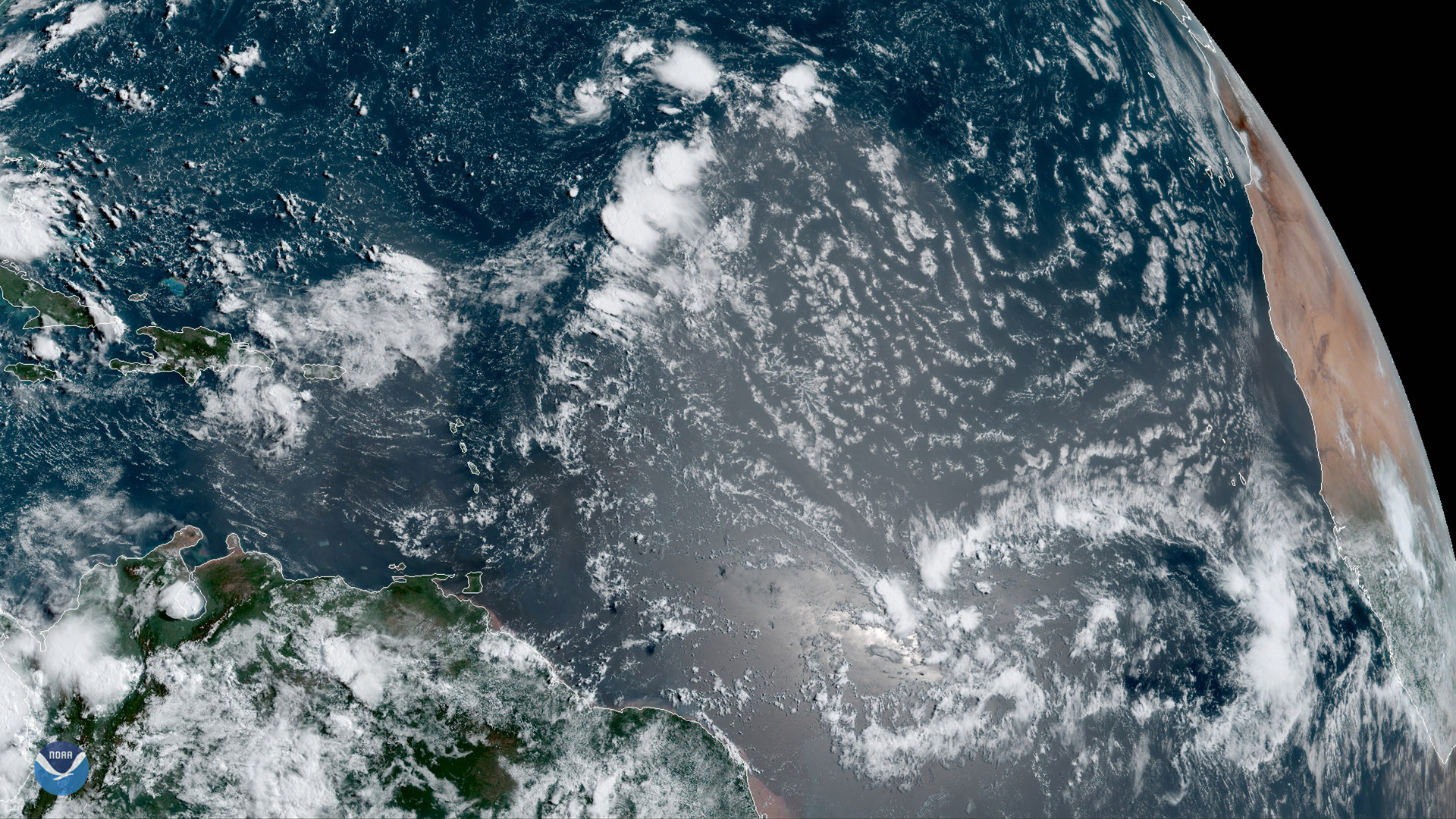
GOES East is ideally located to detect Saharan dust blowing across the Atlantic Ocean, as shown in this GeoColor image on August 1,…