
Feature Story
While NOAA’s National Weather Service (NWS) is responsible for issuing weather forecasts and warnings, its the Center for Satellite Applications and Research (STAR), a program office within the National Satellite and Information Service (NESDIS),…
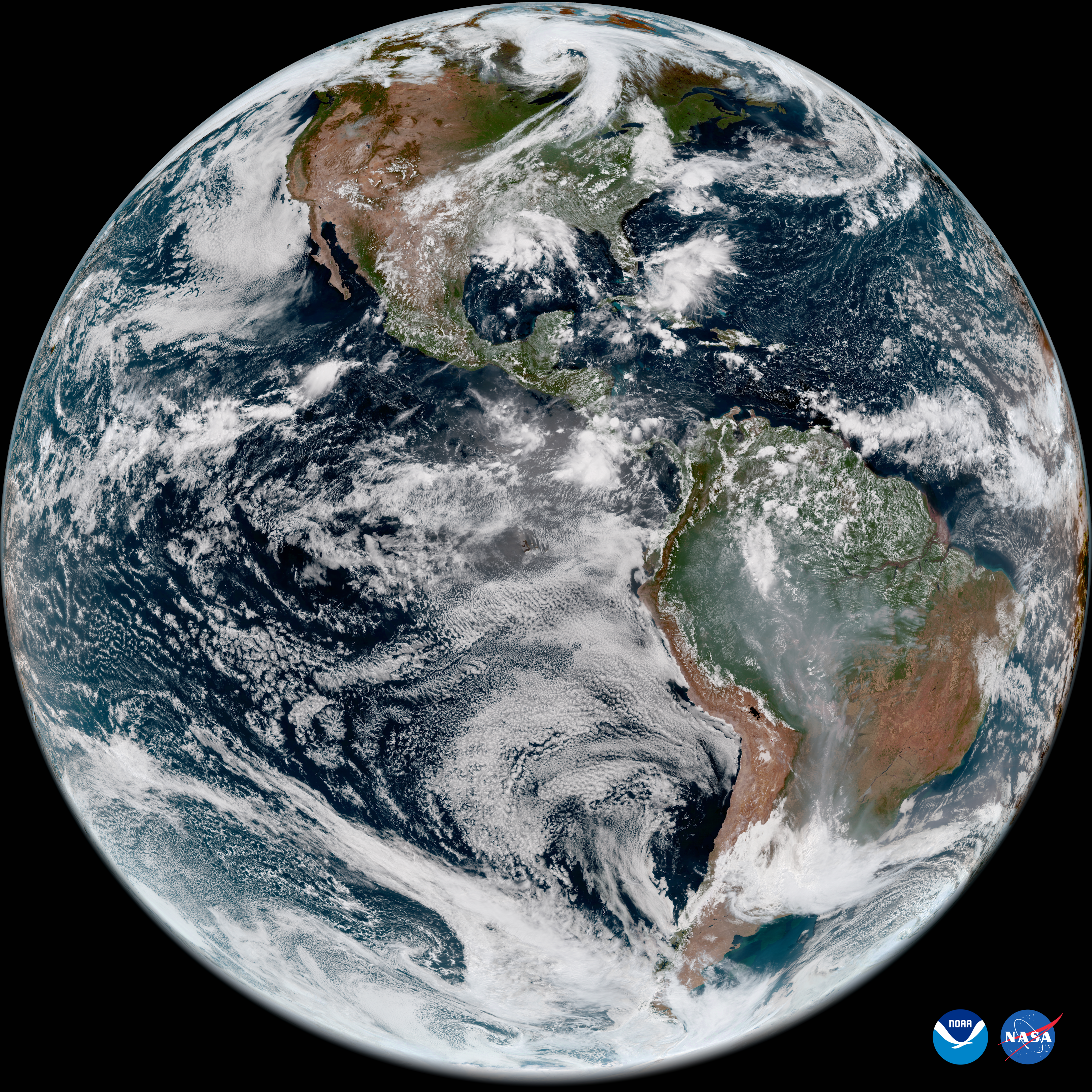
Earth from Orbit
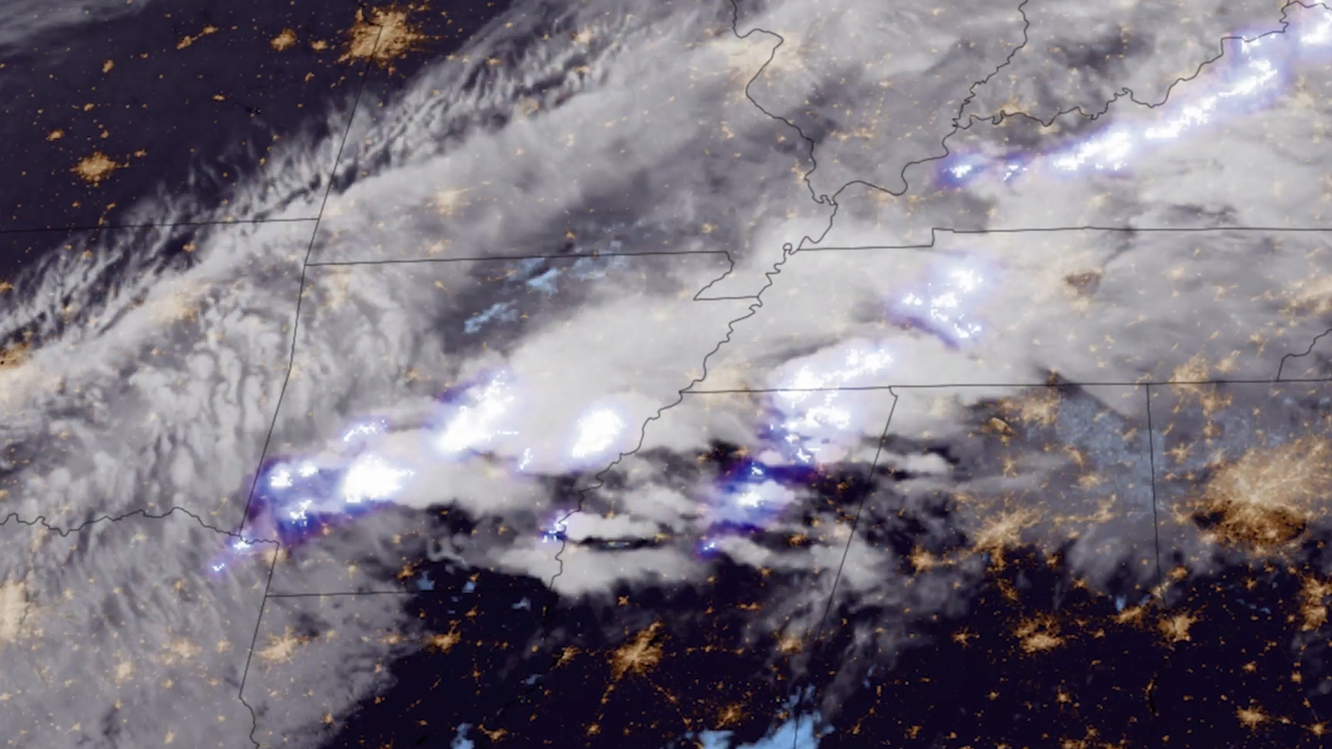
Lightning is a dangerous weather hazard that poses a significant threat to life and property. It can strike at any time, but is most common in the summer months.
Feature Story
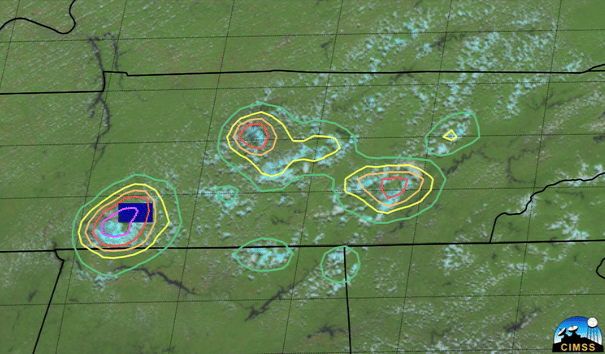
LightningCast uses artificial intelligence (AI) to predict general locations where lightning is most likely to occur.
Feature Story
The job of forecasting is with NOAA’s National Weather Service (NWS), but the Center for Satellite Applications and Research (STAR), a program office within the National Satellite and Information Service (NESDIS)
Feature Story
The job of forecasting is with NOAA’s National Weather Service (NWS), but the Center for Satellite Applications and Research (STAR), a program office within the National Satellite and Information Service (NESDIS)
Feature Story
On June 25, 2024, GOES-U, the final satellite in NOAA’s GOES-R Series, launched from NASA’s Kennedy Space Center in Florida.
Earth from Orbit

Since mid-May, NOAA satellites have been closely monitoring heat signatures and thick plumes of smoke (some stretching thousands of miles) from wildfires burning across Canada. Driven by heat, drought, and dry conditions, more than 160 fires kicked…
Feature Story
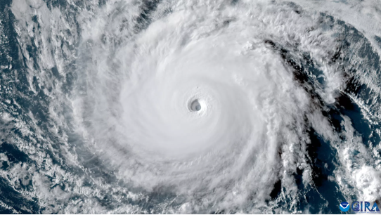
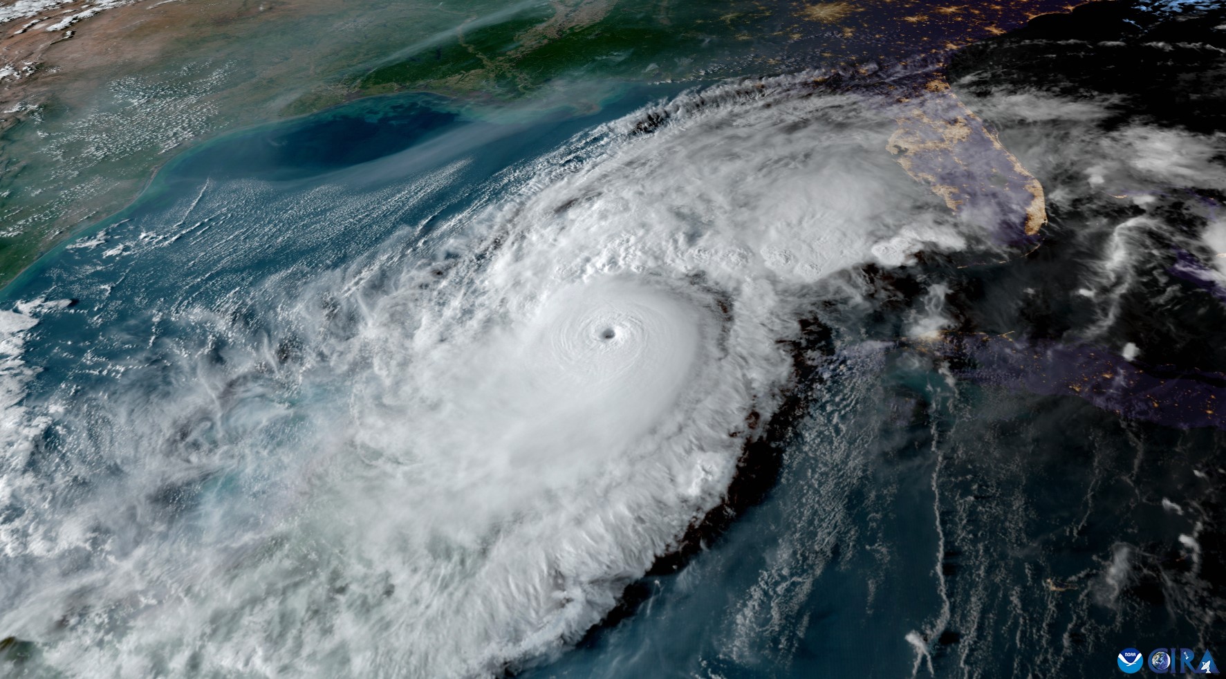
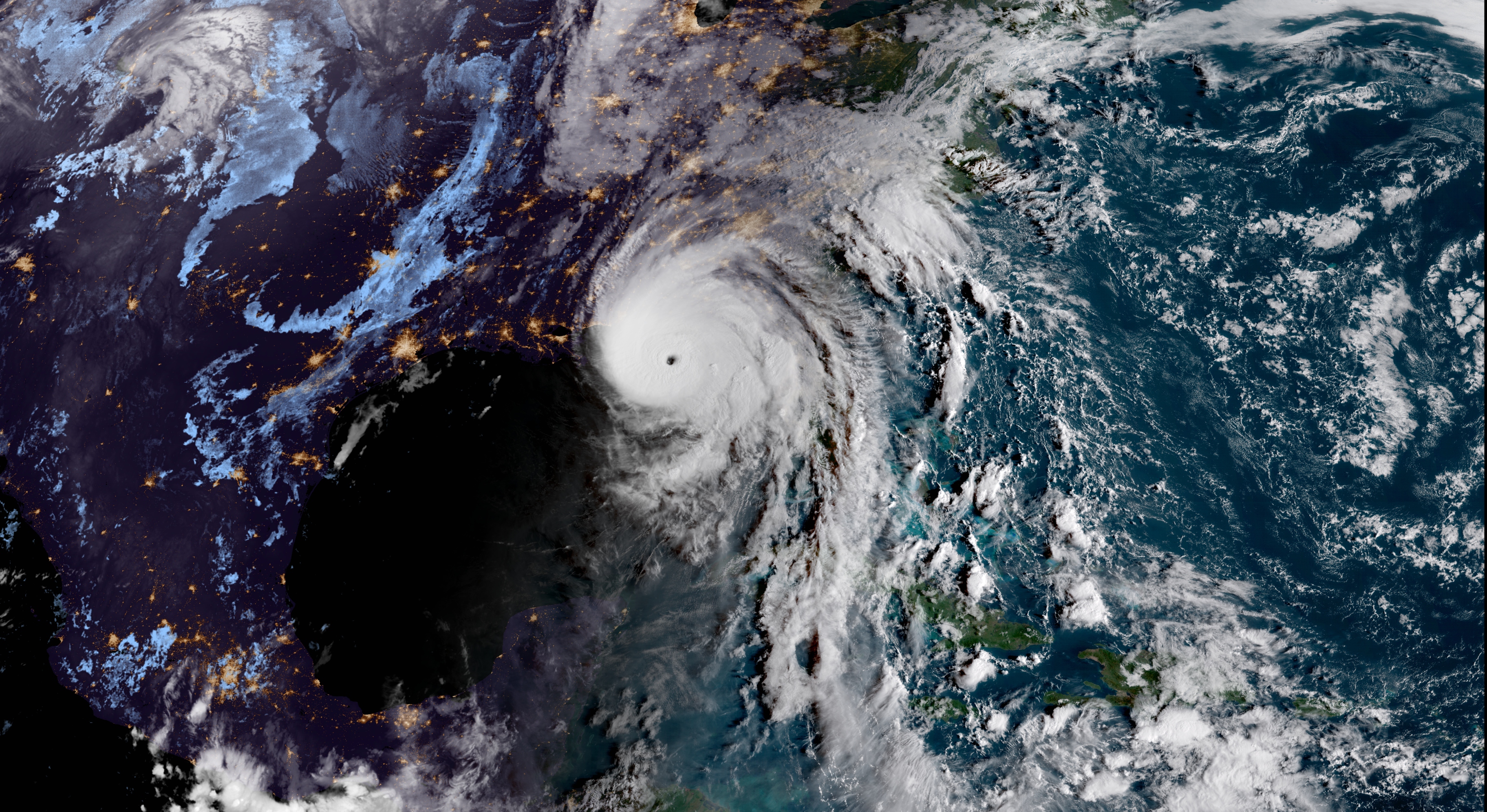
The overarching term “tropical cyclone” describes powerful storms that form around the world, but they are also referred to by a variety of regional names. This article explains why.