
Satellite Snapshots
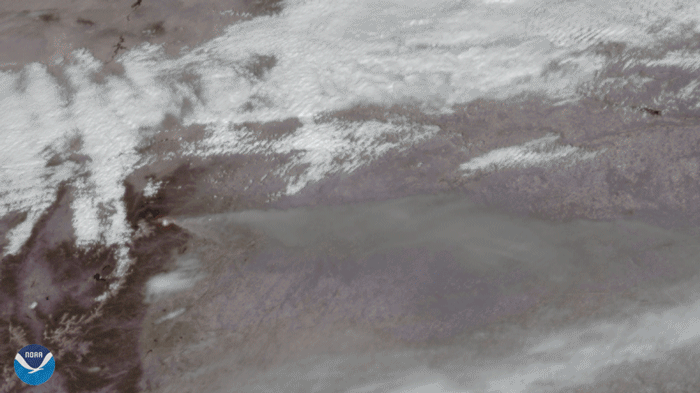
On October 14, 2020, the GOES-East satellite viewed the Cameron Peak Fire near Ft. Collins, CO, which has been burning for two…
Satellite Snapshots
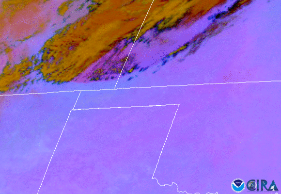
On Oct. 11, 2020, NOAA’s GOES-East satellite watched a huge wall of dust blow more than 300 miles from eastern Colorado to Nebraska,…
Satellite Snapshots
Hurricane Delta is expected to swing up over the warm waters of the Gulf of Mexico and make landfall along the northern Gulf Coast
Satellite Snapshots
Hurricane Delta is expected to swing up over the warm waters of the Gulf of Mexico and make landfall along the northern Gulf Coast
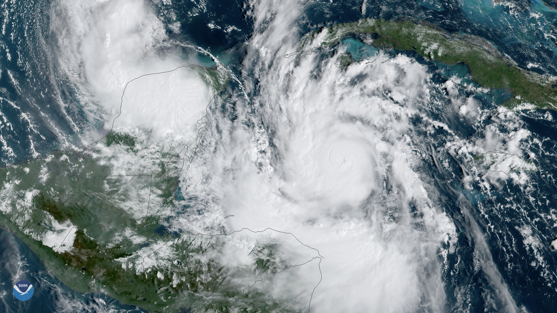
Satellite Snapshots
On Oct. 5, 2020, NOAA's GOES-East satellite watched Tropical Storm Delta form in the Caribbean Sea.
Satellite Snapshots
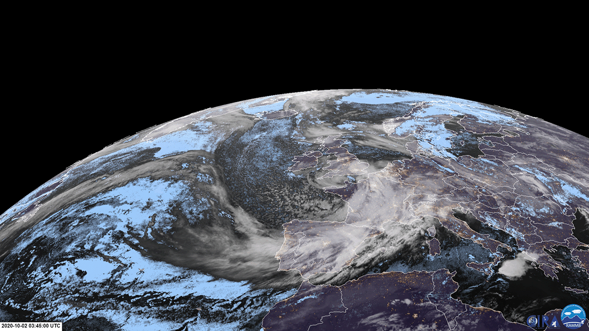
On October 2, 2020, EUMETSAT’s Meteosat-11 satellite viewed Storm Alex as it transversed southeastward across France.
Satellite Snapshots

CMORPH (NOAA Climate Prediction Center MORPHing technique) showed total rainfall produced by Hurricane Sally over several days.
Satellite Snapshots
CMORPH (NOAA Climate Prediction Center MORPHing technique) showed total rainfall produced by Hurricane Sally over several days.