
Satellite Snapshots
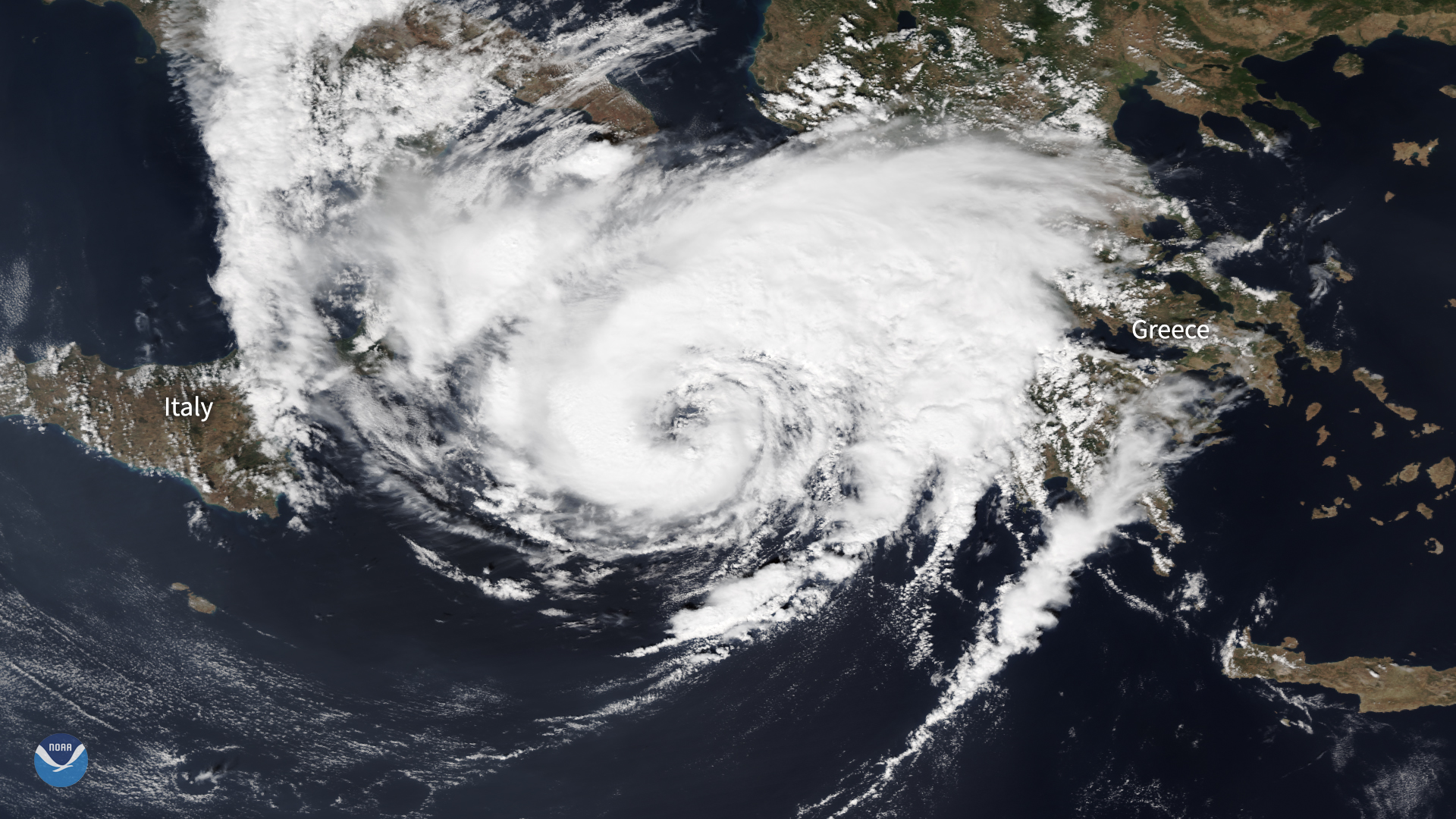
The NOAA-20 satellite zoomed in on a hurricane-like storm over the Mediterranean, known as a "medicane," as it approached western Greece.
Feature Story
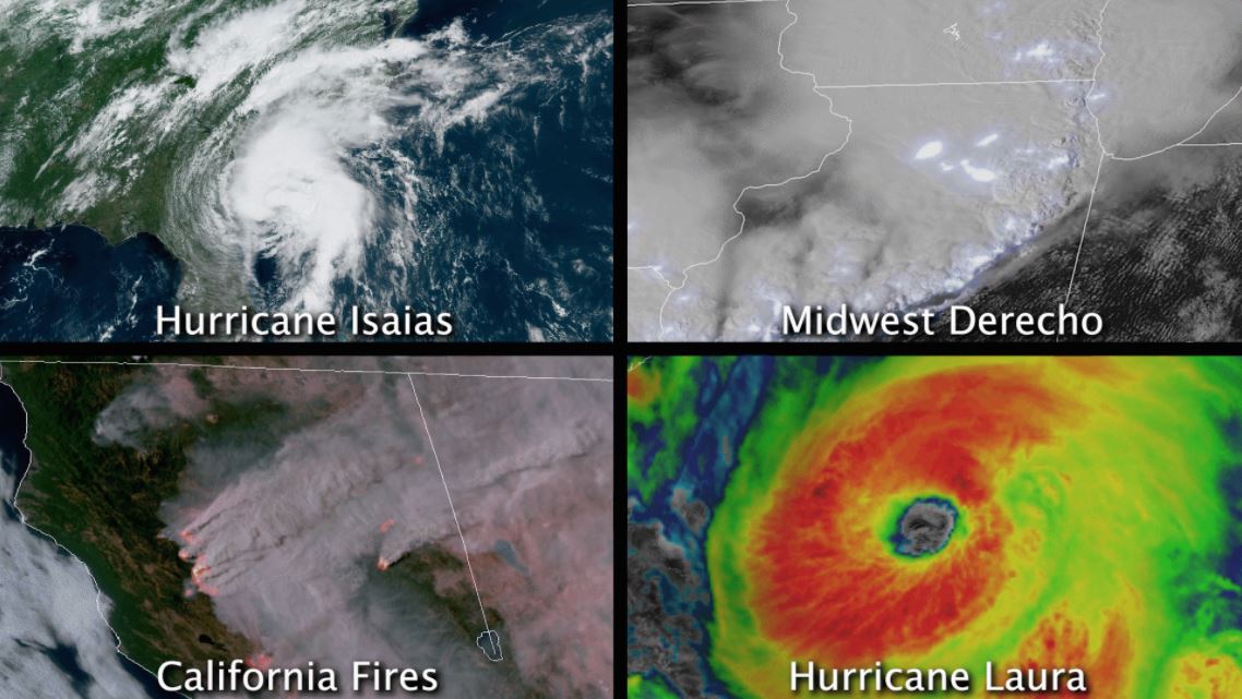
In August 2020, the contiguous U.S. saw at least four different billion-dollar disasters.
Feature Story
In August 2020, the contiguous U.S. saw at least four different billion-dollar disasters.
Satellite Snapshots
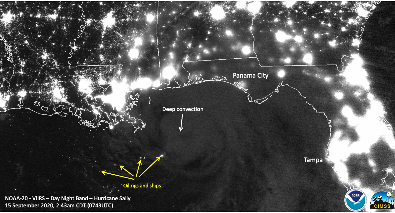
Day/Night band imagery shows us nighttime views of clouds and lights. This image was captured by NOAA-20 on Sept. 15, 2020.
Feature Story
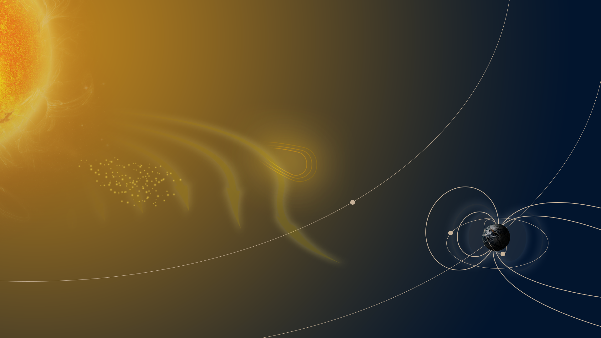
Over the course of the Sun’s 11-year solar cycle, the star goes through a period of increased and decreased activity…
Feature Story

The Sun is Earth’s nearest star—a giant orb of hydrogen and helium about 93 million miles away. To many people, it looks…
Satellite Snapshots
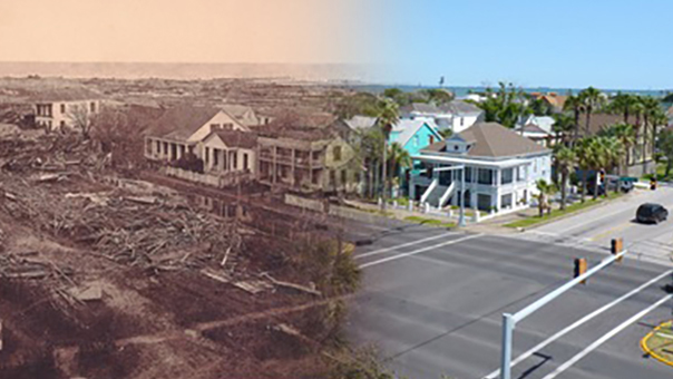
This Image of the Day shows before-and-after imagery from the Great Galveston hurricane of 1900.
Satellite Snapshots
This Image of the Day shows before-and-after imagery from the Great Galveston hurricane of 1900.