
Satellite Snapshots
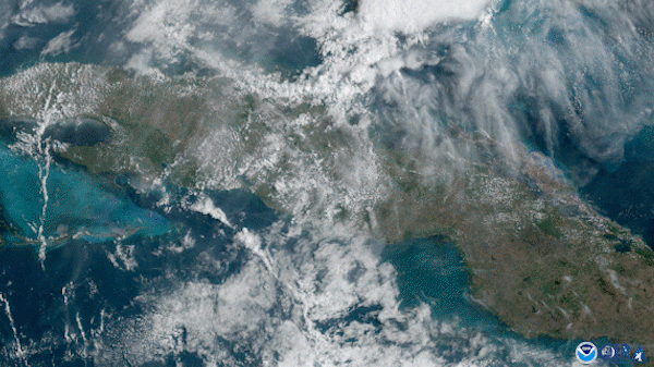
On April 26, 2020, the GOES-East satellite captured explosive yet beautiful thunderstorms unfolding across Cuba.
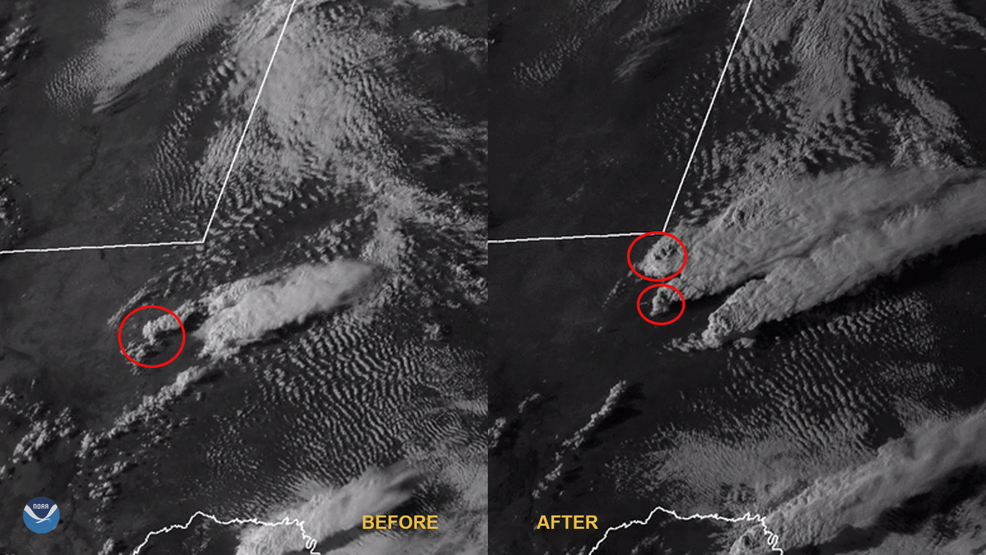
Satellite Snapshots
A spring storm system that produced severe thunderstorms across Oklahoma, Texas, and Louisiana on April 22, 2020.
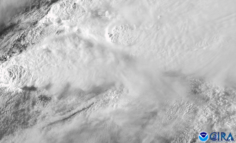
Satellite Snapshots
GOES-East satellite has been monitoring severe thunderstorms that brought torrential rain, destructive winds.
Satellite Snapshots
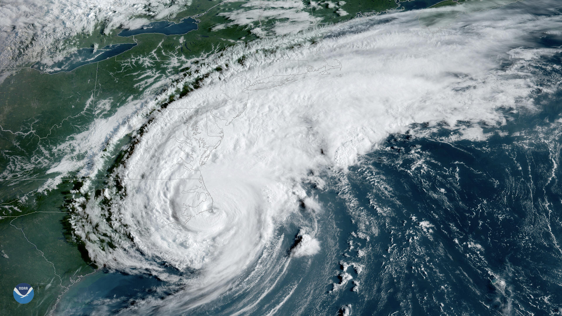
NCEI's global inventory of tropical cyclones, IBTrACS, lets forecasters analyze current storms in the context of historical data.
Satellite Snapshots
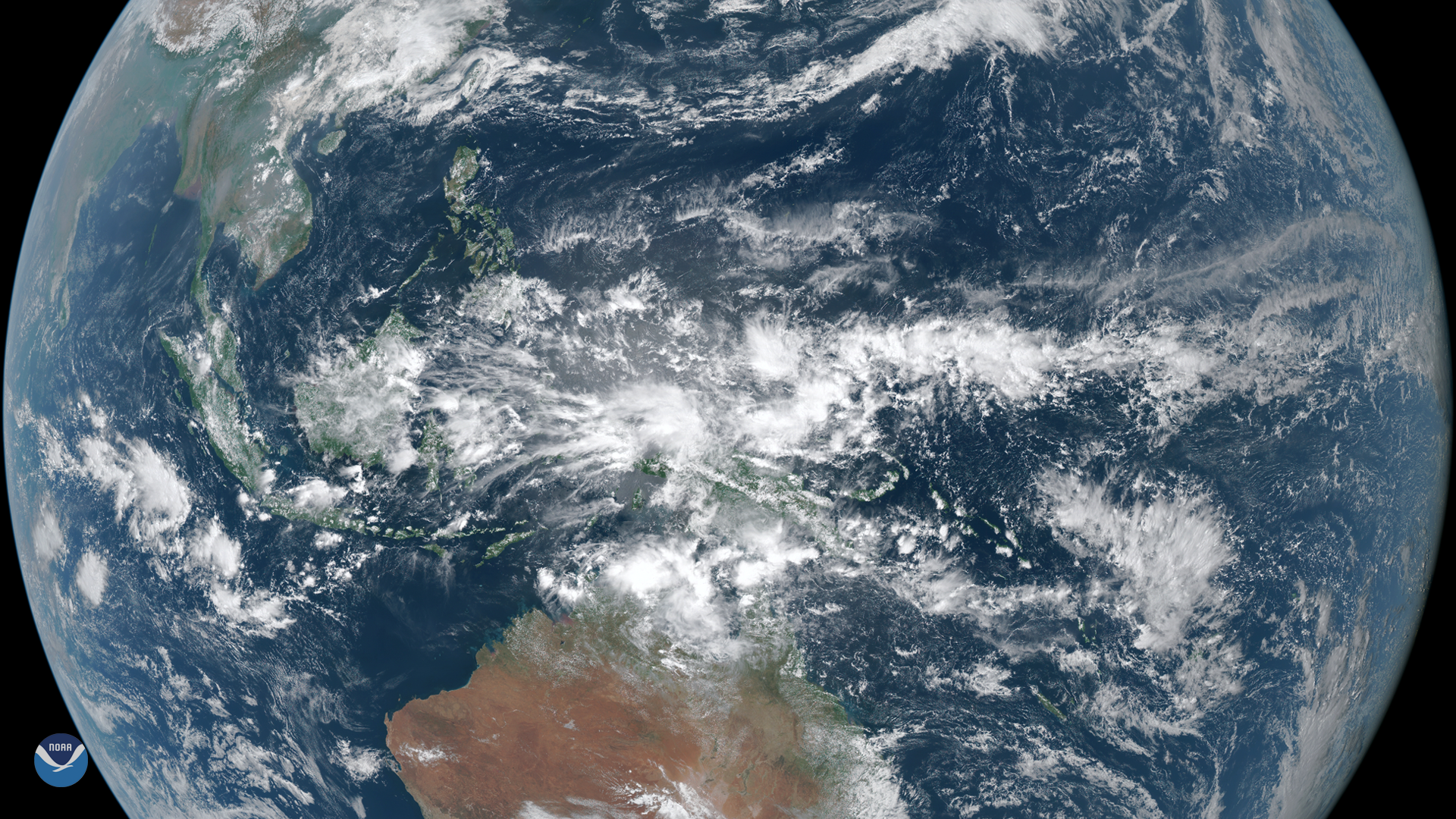
On March 23, 2020, the Himawari-8 satellite spied dense clouds producing heavy rain over Indonesia. Located between the Indian and…
Satellite Snapshots
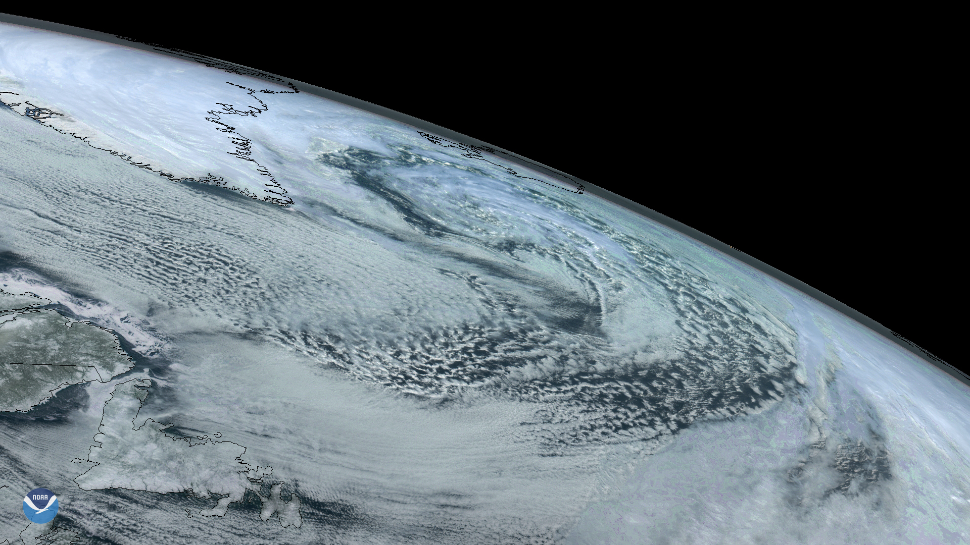
On Sunday, March 22, 2020, the GOES East satellite captured imagery of a large extratropical mid-latitude cyclone in the North…
Satellite Snapshots

Hurricane Dorian—shown here in an image created by the Visible Infrared Imaging Radiometer Suite (VIIRS) on September 1, 2019…
Satellite Snapshots
Hurricane Dorian—shown here in an image created by the Visible Infrared Imaging Radiometer Suite (VIIRS) on September 1, 2019…