
Earth from Orbit
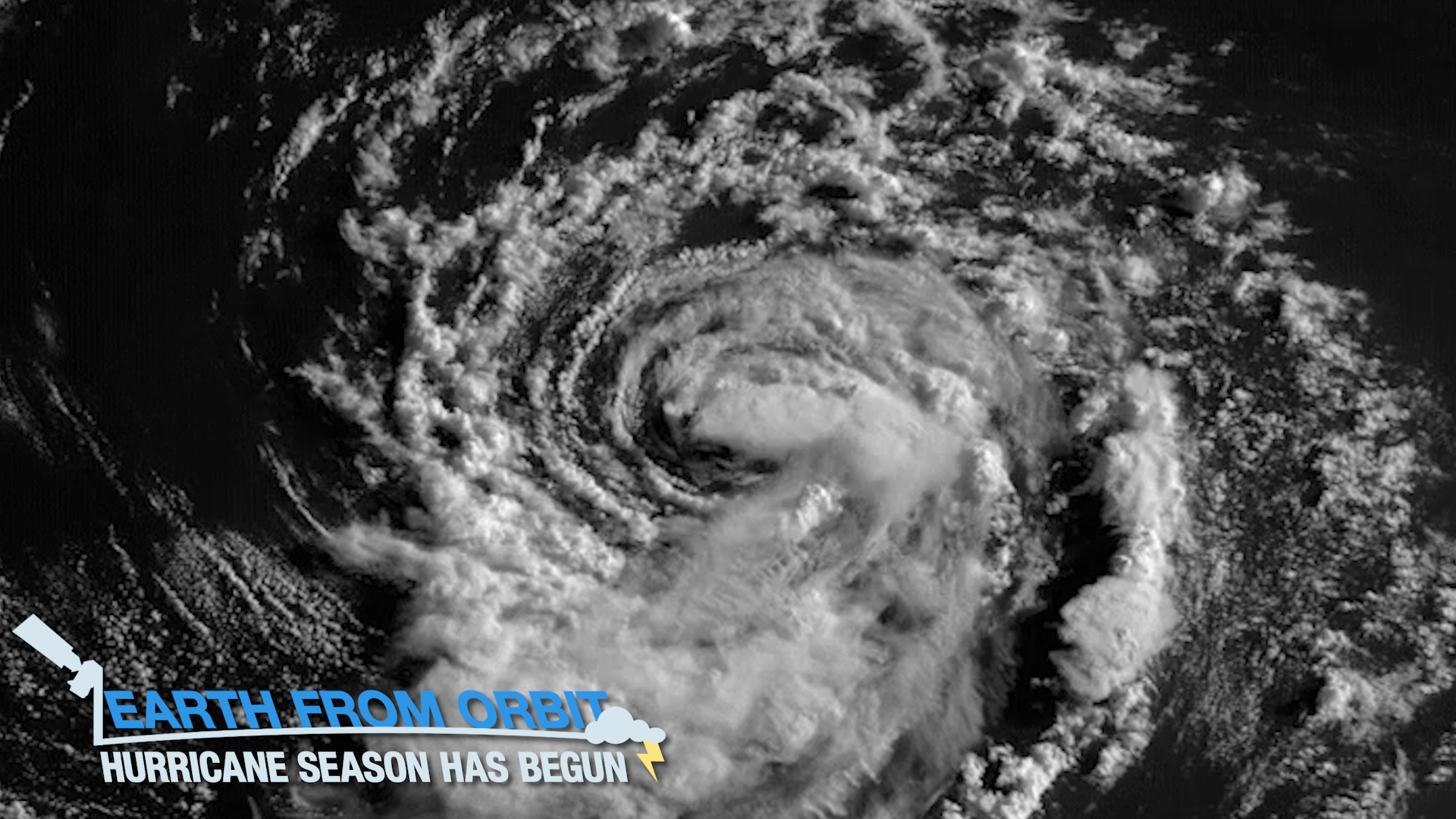
The 2021 hurricane season is officially underway. June 1 marked the beginning of the Atlantic hurricane season.
Feature Story
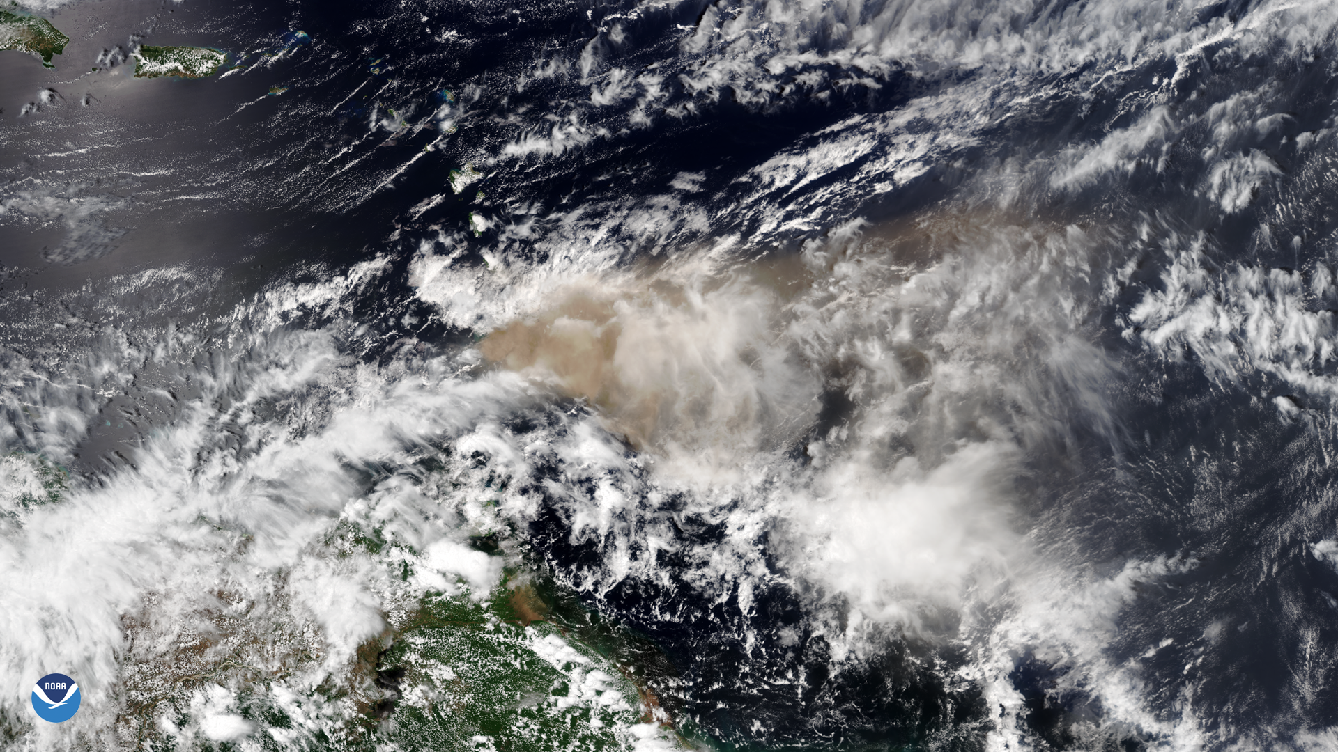
The La Soufriere volcano on St. Vincent Island in the Caribbean erupted in an explosive fashion in April 2021.
Satellite Snapshots
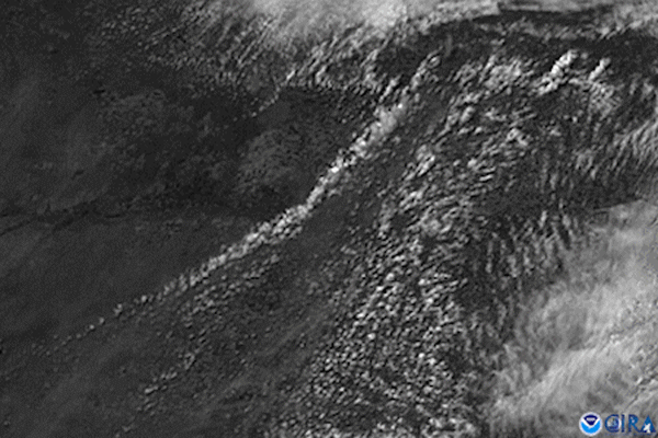
GOES East satellite’s visible channel watched the anvil-shaped cloud tops of severe thunderstorms bubble up over western Kansas
Satellite Snapshots
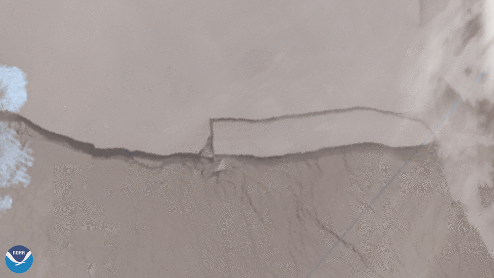
JPSS satellites viewed the calving of iceberg A-76 from May 15 to 16, which is now the largest in the world. The
Earth from Orbit
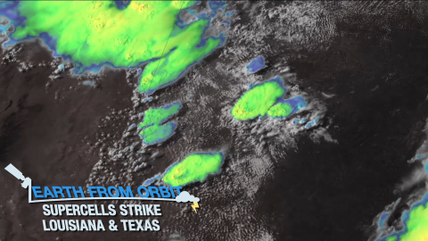
Severe storms struck the South Central U.S. (Louisiana and Texas), producing heavy rain, extensive flooding, damaging winds, large hail, and tornadoes
Satellite Snapshots

This Image of the Day features spectacular visible imagery of supercell thunderstorms developing over Texas, seen by the GOES East satellite.
Satellite Snapshots
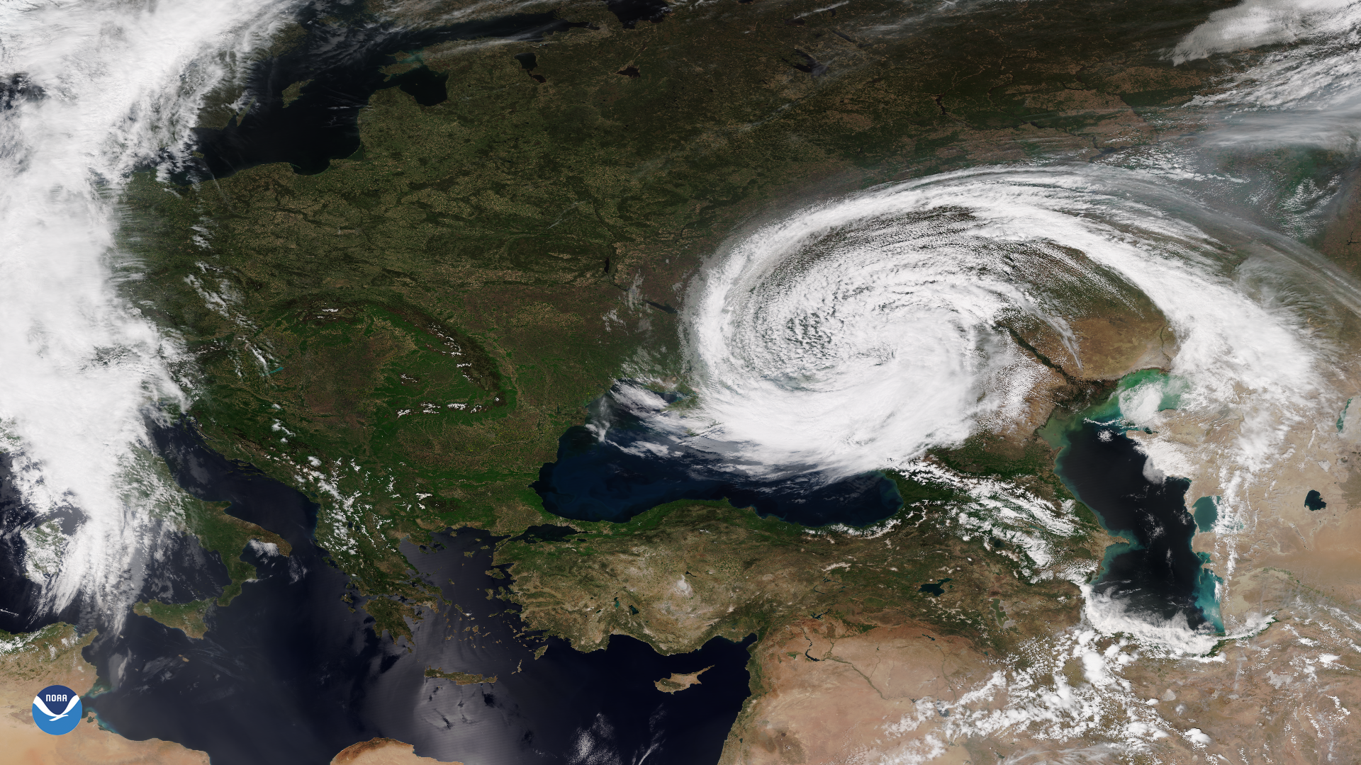
The VIIRS instrument onboard the NOAA-20 satellite captured this imagery of an unusual mid-latitude cyclone swirling around the Black Sea.
Earth from Orbit
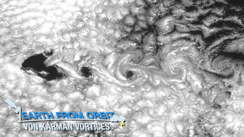
NOAA satellites captured von Kármán vortices streaming around Guadalupe Island. These are vortex patterns in stratocumulus clouds near islands.