
Satellite Snapshots
A series of winter storms making their way across the country are expected to make travel conditions challenging, if not impossible…
Satellite Snapshots
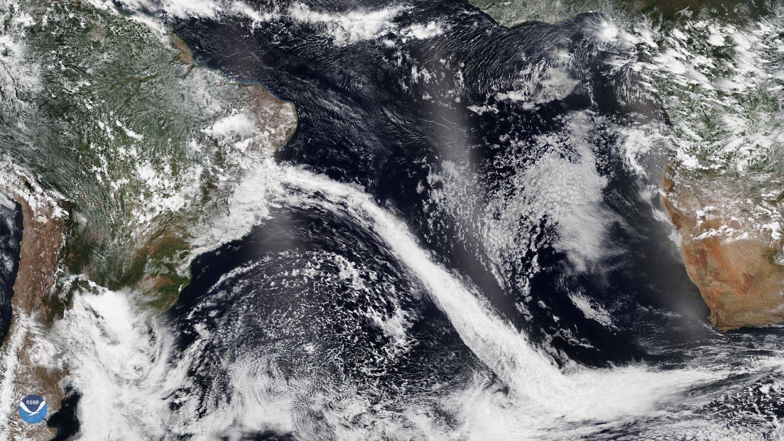
On Nov. 25, NOAA-20 captured this image of the Atlantic coastline of Brazil, which is currently experiencing a sharp cold front…
Satellite Snapshots

Although forecasts from earlier this week expected Tropical Storm Sebastien to strengthen into a hurricane, strong wind sheer is…
Satellite Snapshots
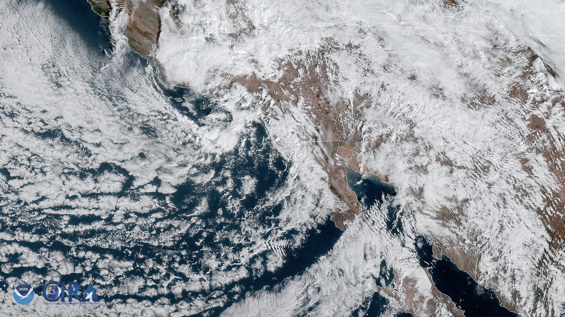
The GOES West satellite captured this image of the southwestern US and the Pacific Ocean on Nov. 20, as it was experiencing a storm…
Satellite Snapshots
The GOES West satellite captured this image of the southwestern US and the Pacific Ocean on Nov. 20, as it was experiencing a storm…
Satellite Snapshots
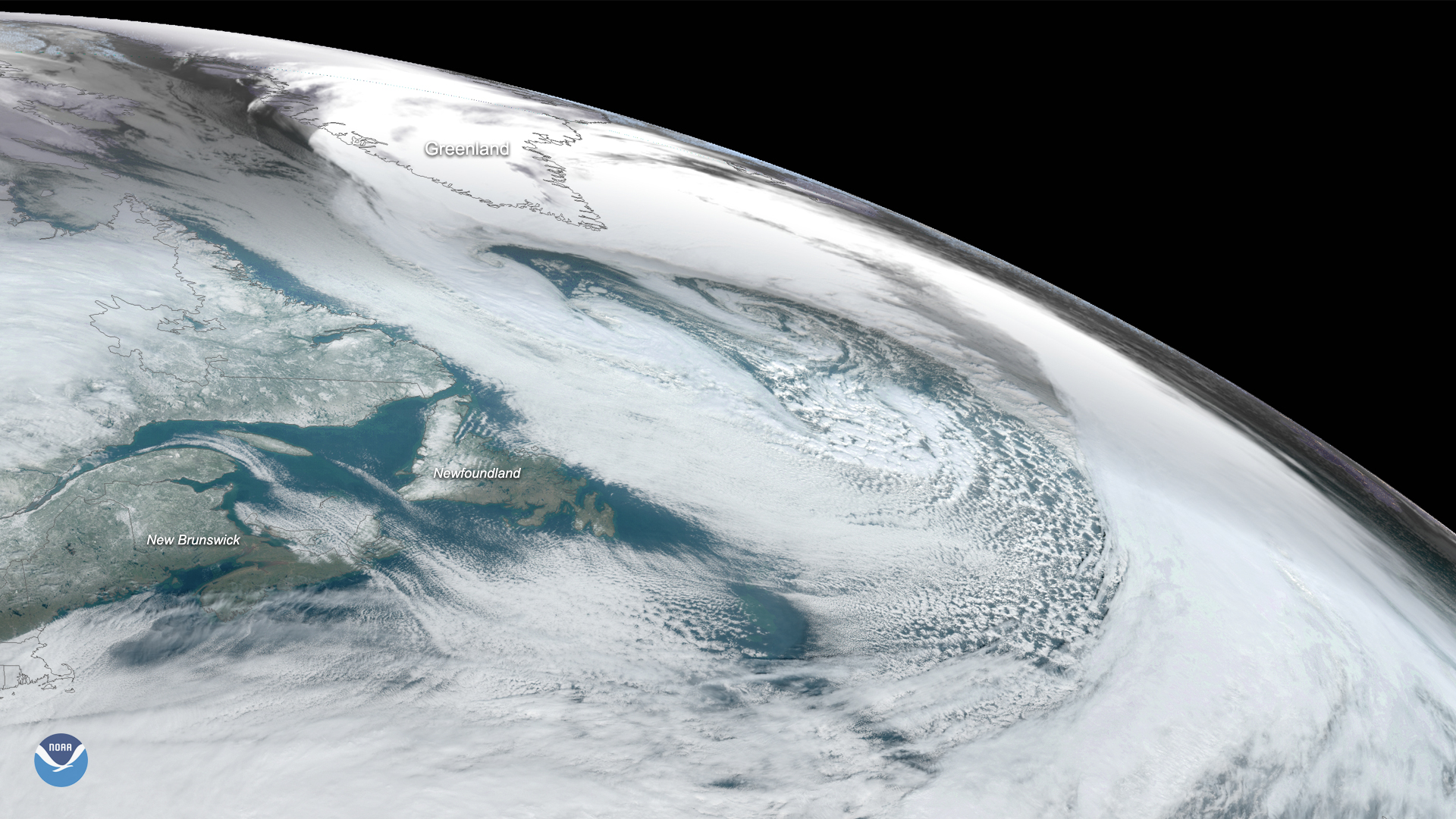
On Nov. 17, 2019, the GOES East satellite captured this image of a massive cyclone that formed over the Labrador Sea between…
Satellite Snapshots
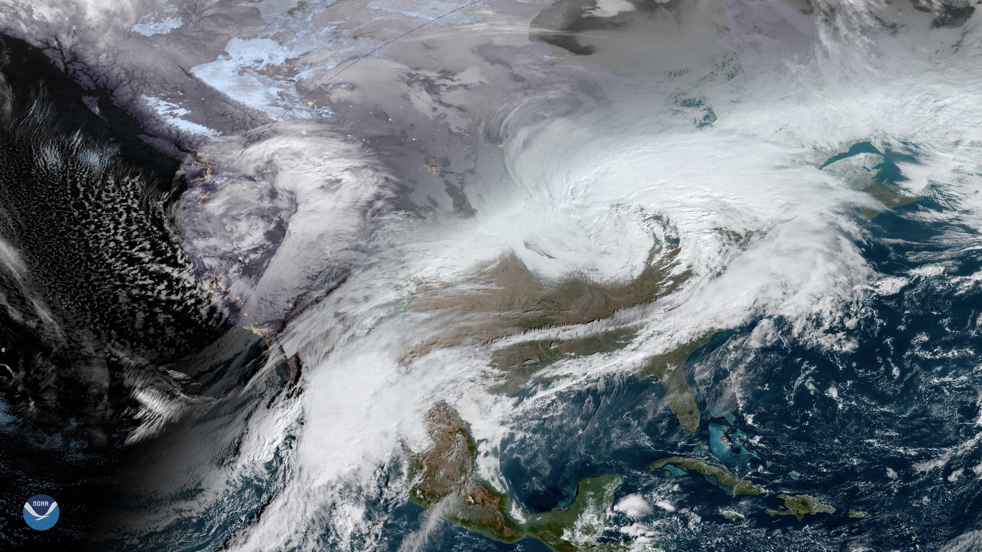
The NOAA-20 satellite captured this imagery of a nor’easter off the mid-Atlantic coast and a low-pressure system off of Florida’s…
Satellite Snapshots
The NOAA-20 satellite captured this imagery of a nor’easter off the mid-Atlantic coast and a low-pressure system off of Florida’s…