
Earth from Orbit

NOAA satellites often see patterns of clouds called gravity waves, which appear as ripples.
Earth from Orbit
NOAA satellites often see patterns of clouds called gravity waves, which appear as ripples.
Satellite Snapshots
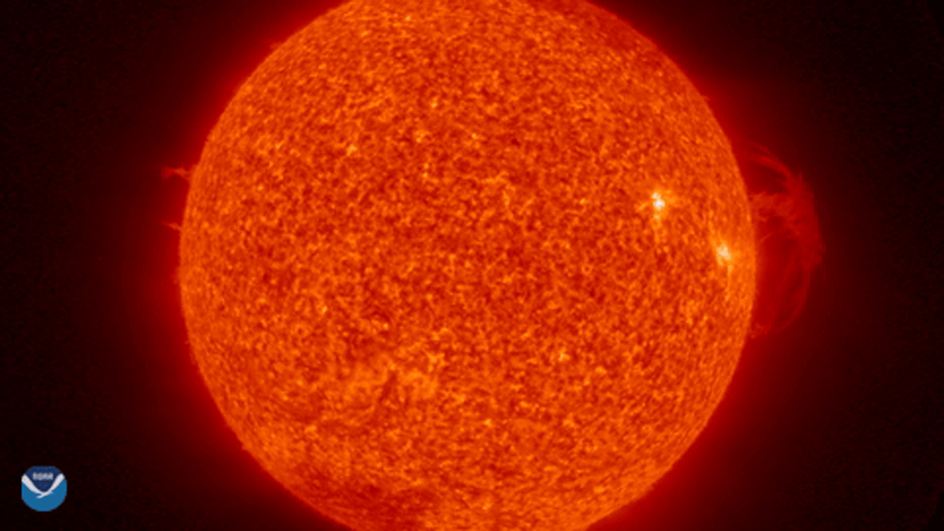
NOAA’s GOES West saw a solar prominence , a type of eruption, take place on the Sun’s surface on March 30-31, 2021. This event was…
Satellite Snapshots
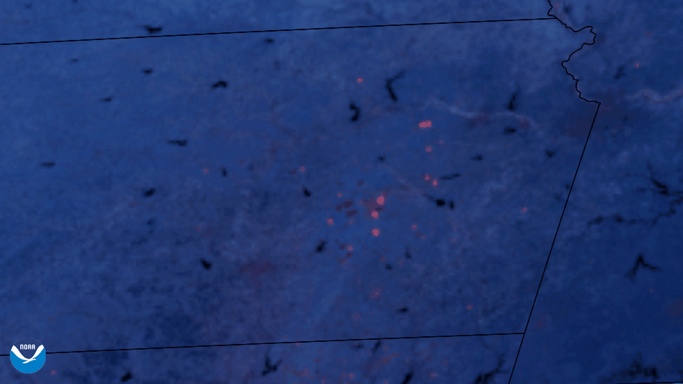
NOAA’s GOES East satellite detected the heat from prescribed burns across Kansas and Oklahoma in this Fire…
Earth from Orbit
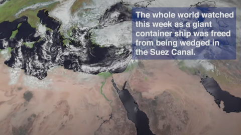
Imagery from the NOAA-20 satellite showed more than 400 cargo ships backed up in the Red Sea and Bitter Lake due to a ship blocking the Suez Canal.
Satellite Snapshots

The NOAA-20 satellite captured this view of a cargo ship traffic jam in the Red Sea near the entrance of the Suez Canal…
Satellite Snapshots
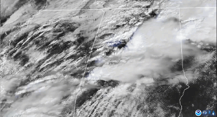
The timelapse seen above in our Image of the Day captures the supercell thunderstorms that swept over parts of the landscape of the…
Earth from Orbit
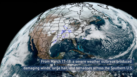
A severe weather outbreak swept across the Southern U.S. and produced damaging winds, hail, and tornadoes including EF2s in Mississippi and Alabama.