
Earth from Orbit

NOAA satellites monitored numerous fires over the Southern Plains, the majority of which were likely prescribed burns.
Earth from Orbit
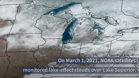
NOAA satellites monitored lake-effect clouds flowing over Lake Superior. Learn more about this phenomenon in this week's Earth from Orbit video.
Earth from Orbit
NOAA satellites monitored lake-effect clouds flowing over Lake Superior. Learn more about this phenomenon in this week's Earth from Orbit video.
Earth from Orbit
NOAA satellites monitored lake-effect clouds flowing over Lake Superior. Learn more about this phenomenon in this week's Earth from Orbit video.
Satellite Snapshots
JPSS polar satellites watched a city-sized chunk of ice break off (calve) from the northern section of Antarctica’s Brunt Ice Shelf
Announcement

One of the JPSS program’s system of ground stations is located in Norway’s remote Svalbard islands. Antennas at the station here collect data from sat
Satellite Snapshots
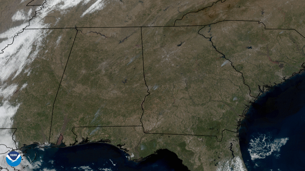
On Feb. 24, 2021, the GOES East satellite captured GeoColor imagery of grayish smoke plumes rising into the atmosphere across the southeastern U.S.
Earth from Orbit

NOAA satellites monitored a large plume of dust from the Sahara Desert as it traveled off the west coast of North Africa, across the Atlantic Ocean.