
Satellite Snapshots
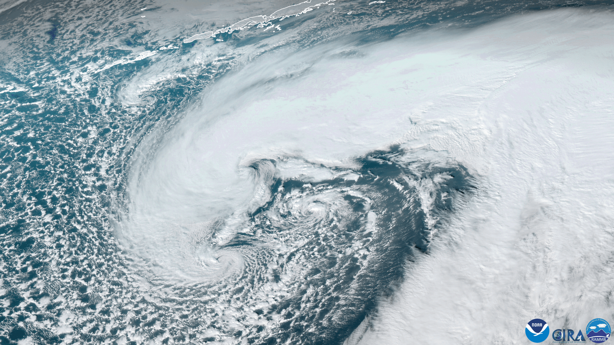
GOES West satellite captured this stunning GeoColor imagery of a strengthening mid-latitude cyclone near the Aleutian Islands
Satellite Snapshots

On Jan. 11, 2021, the NOAA-20 satellite viewed icebergs A-68A, A-68D, and A-68E move around South Georgia Island.
Feature Story
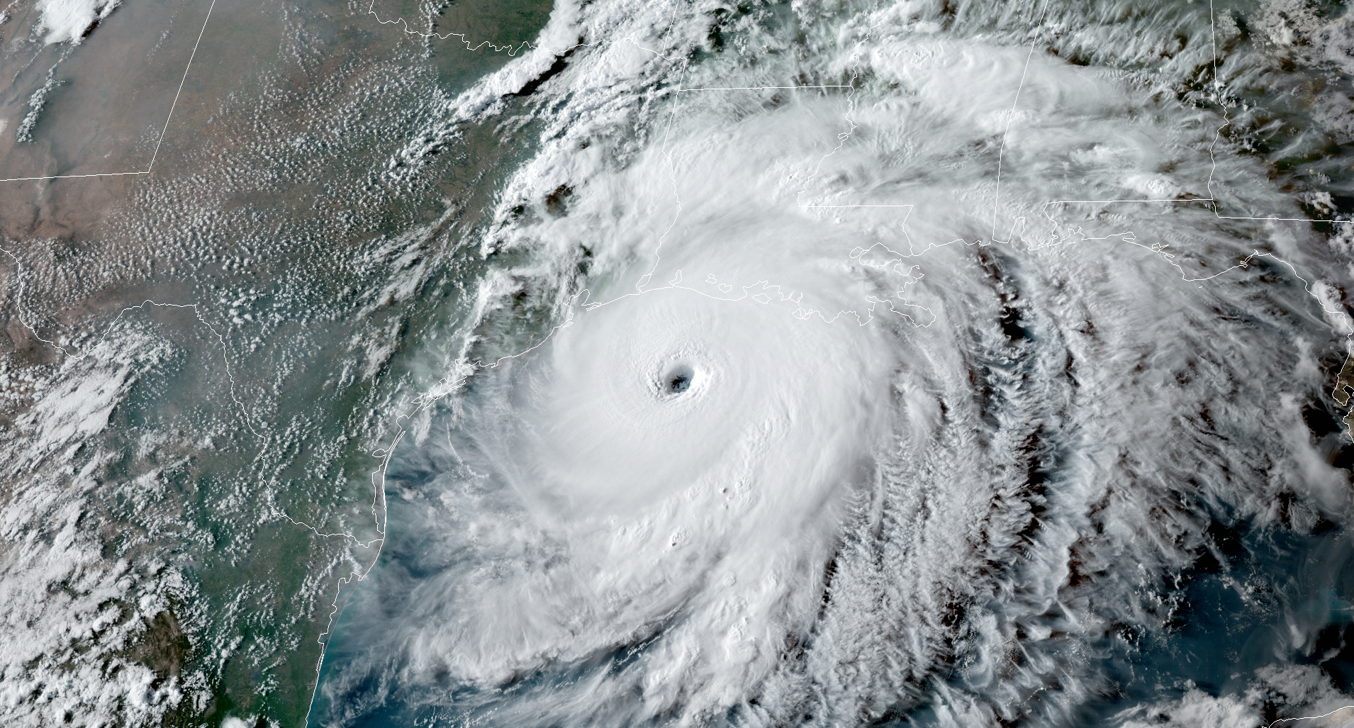
There were 22 billion-dollar weather and climate disasters across the nation in 2020.
Feature Story
Wildfires burned more than a million acres in Northern California.
Satellite Snapshots

GOES East, using Band 2 of the ABI instrument , viewed percolating clouds approximately 3,000 miles off of the coast of Chile.
Satellite Snapshots
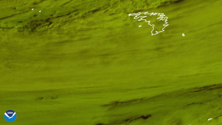
A-68A appeared to be floating toward the island of South Georgia, one of the world’s largest marine conservation areas and important fishing grounds.
Satellite Snapshots

NOAA’s Satellite and Information Service is looking back at 50 years of images from space. The 50 images we are highlighting are not necessarily the “
Satellite Snapshots
NOAA’s Satellite and Information Service is looking back at 50 years of images from space. The 50 images we are highlighting are not necessarily the “