
Feature Story
Thursday, December 24, 2020 Earlier this month, a young weather fan’s mother contacted our offices at NOAA’s Center for Satellite Applications and…
Satellite Snapshots
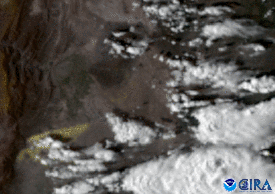
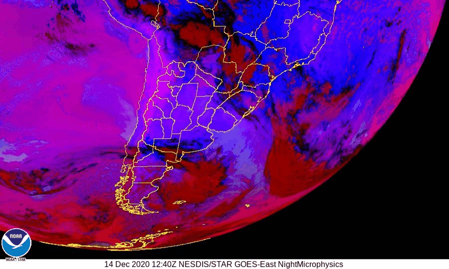
GOES East caught a haboob, or sandstorm, as it swept through the dry Argentine plains..
Satellite Snapshots
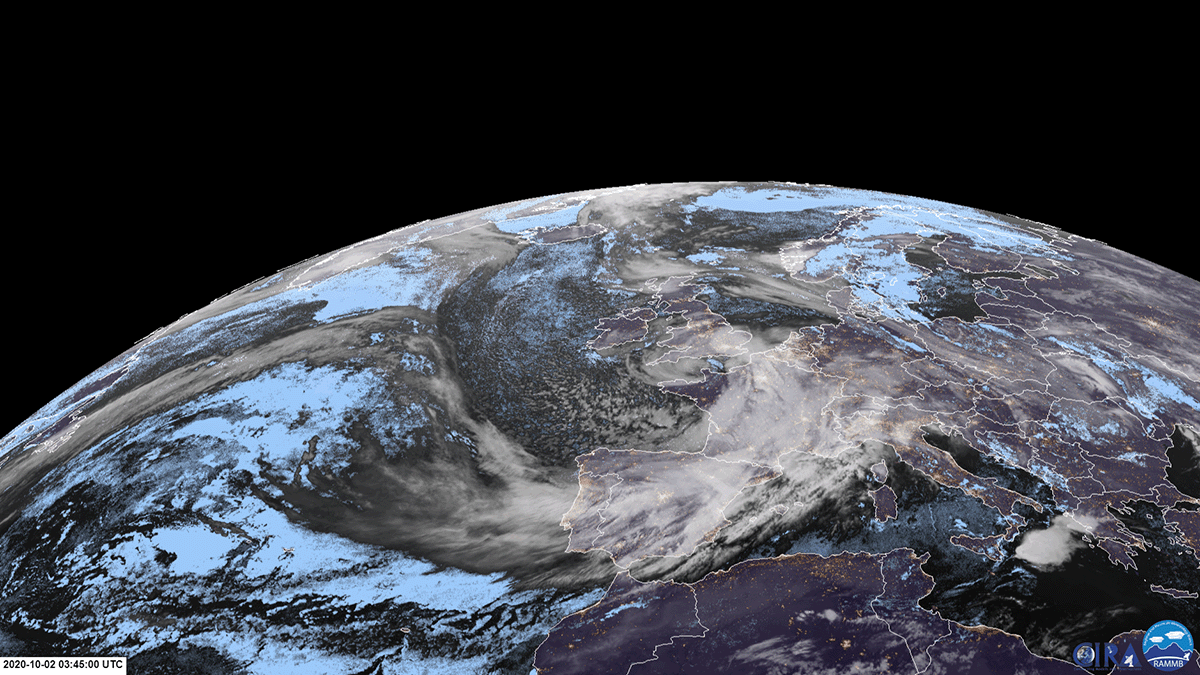
The winter solstice took place at 5:02 a.m. EST today, and will be closely followed by the Great Conjunction, the closest that Jupiter and Saturn will
Satellite Snapshots
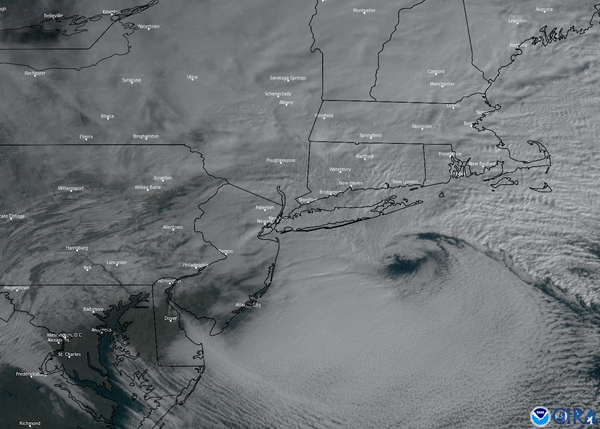
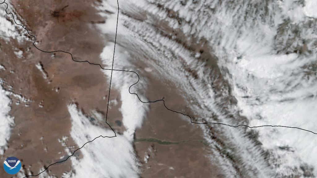
This nor-easter started to develop Wednesday morning, Dec. 16, where snow, ice, and rain stretched from the Southeast up into the Mid-Atlantic
Satellite Snapshots
Solar eclipse provided a spectacular show for many people in parts of South America, where the moon temporarily moved in front of the sun and blocked
Satellite Snapshots
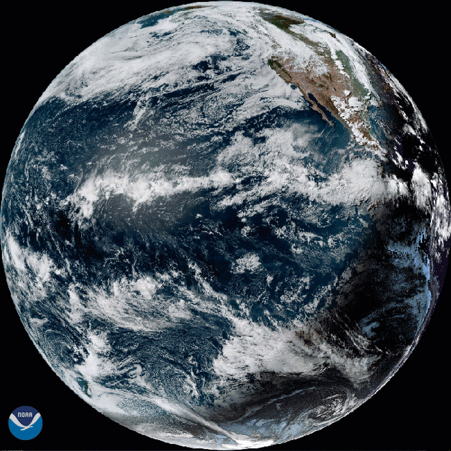
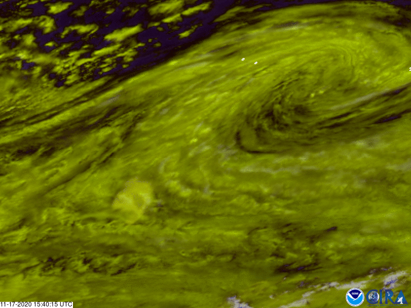
GOES East satellite see a dust storm blow from the northern coast of Mari Menuco Lake, Argentina,
Satellite Snapshots
GOES East satellite captured this time-lapsed imagery of the massive ice block floating in the southern Atlantic Ocean
Satellite Snapshots
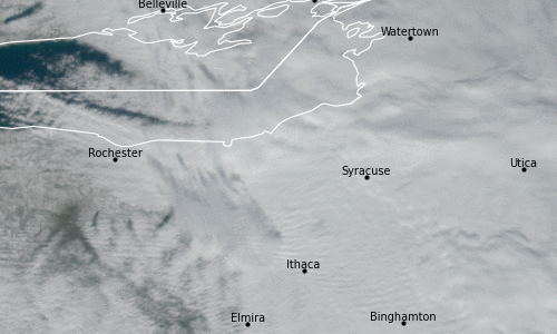
Geostationary Lightning Mapper (GLM) onboard the GOES East satellite detects atmospheric anomaly over upstate New York