
Satellite Snapshots
NOAA’s GOES East satellite captured a strong storm system that pushed through along the eastern United States, using the satellite…
Satellite Snapshots
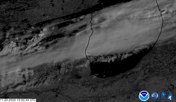
GOES East satellite captured a “supercool” phenomenon occurring within the clouds over Michigan.
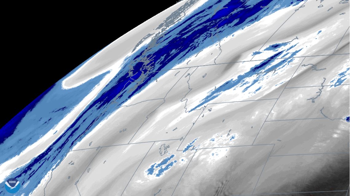
Satellite Snapshots

GOES-East viewed cloud streets that were generated by a northwesterly wind over the Great Lakes and Northeast
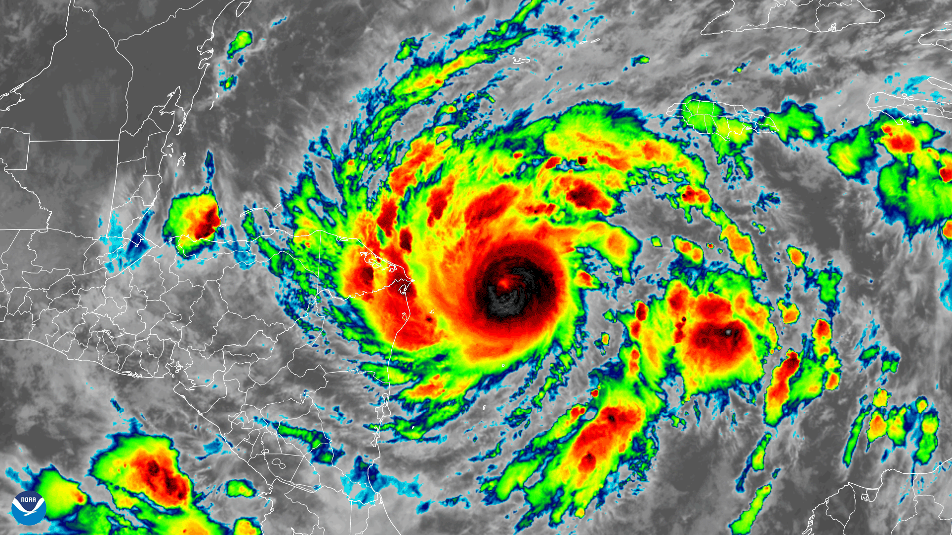
Satellite Snapshots
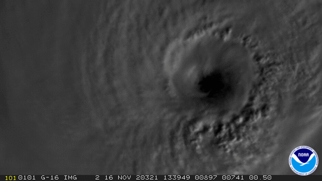
GOES-East satellite captured this GeoColor and GLM lightning composite image loop of powerful Hurricane Iota.
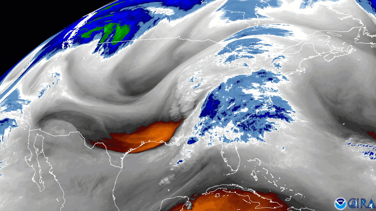
Satellite Snapshots
Water vapor imagery from NOAA’s GOES East satellite viewed an atmospheric wave pattern brought on by a digging trough the Pacific Northwest.
Satellite Snapshots
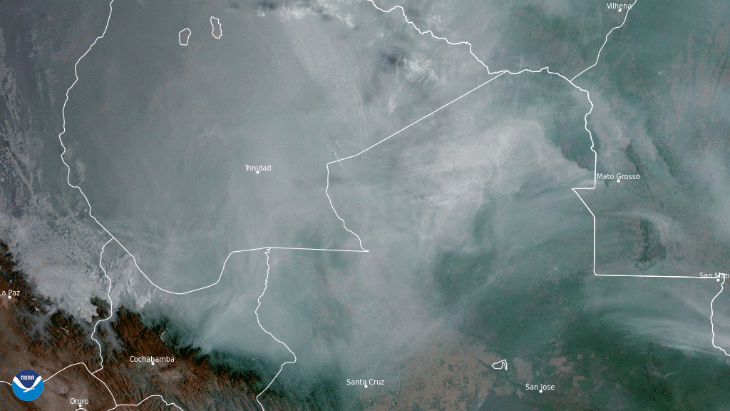
On Nov. 5, 2020, NOAA’s GOES-East satellite focused on a thick blanket of smoke billowing over forests and wetlands in central South America.
Satellite Snapshots

On Sept. 21, 2020, the NOAA-20 satellite was able to snap this cloudless True Color image of the snow-covered Tian Shan mountain…
Satellite Snapshots
Early on November 2, 2020, the GOES-East satellite watched Tropical Storm Eta strengthen into a hurricane over the Caribbean Sea…