
Satellite Snapshots
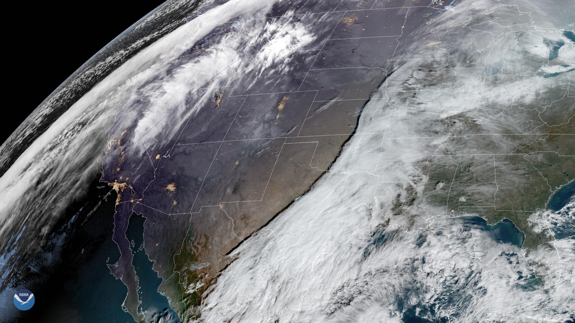
GOES East is watching two storms moving across the United States on Dec. 20, 2019, that may hinder holiday travel through next week…
Satellite Snapshots
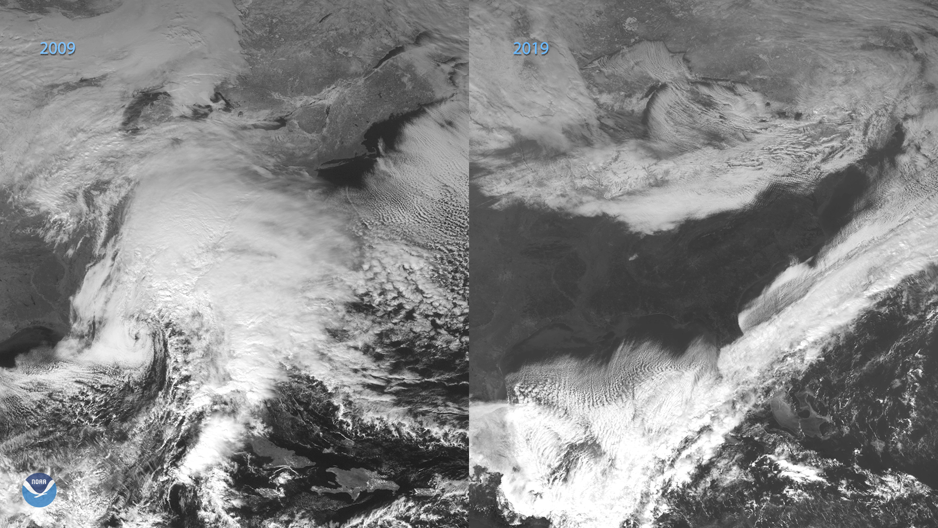
On the eastern coast of North America on Dec. 18, 2019, the GOES-16 satellite showed a long cold front that stretched from…
Satellite Snapshots
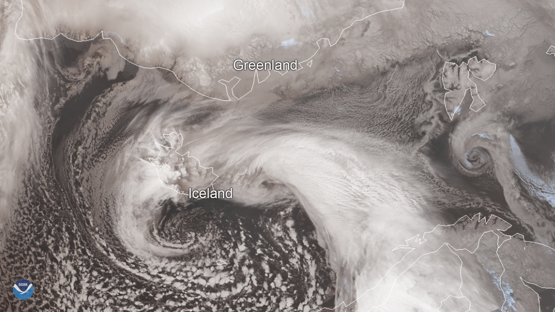
Iceland’s worst winter storm of the year hit the country yesterday, Dec. 10, 2019, and is continuing to bring extremely windy…
Satellite Snapshots
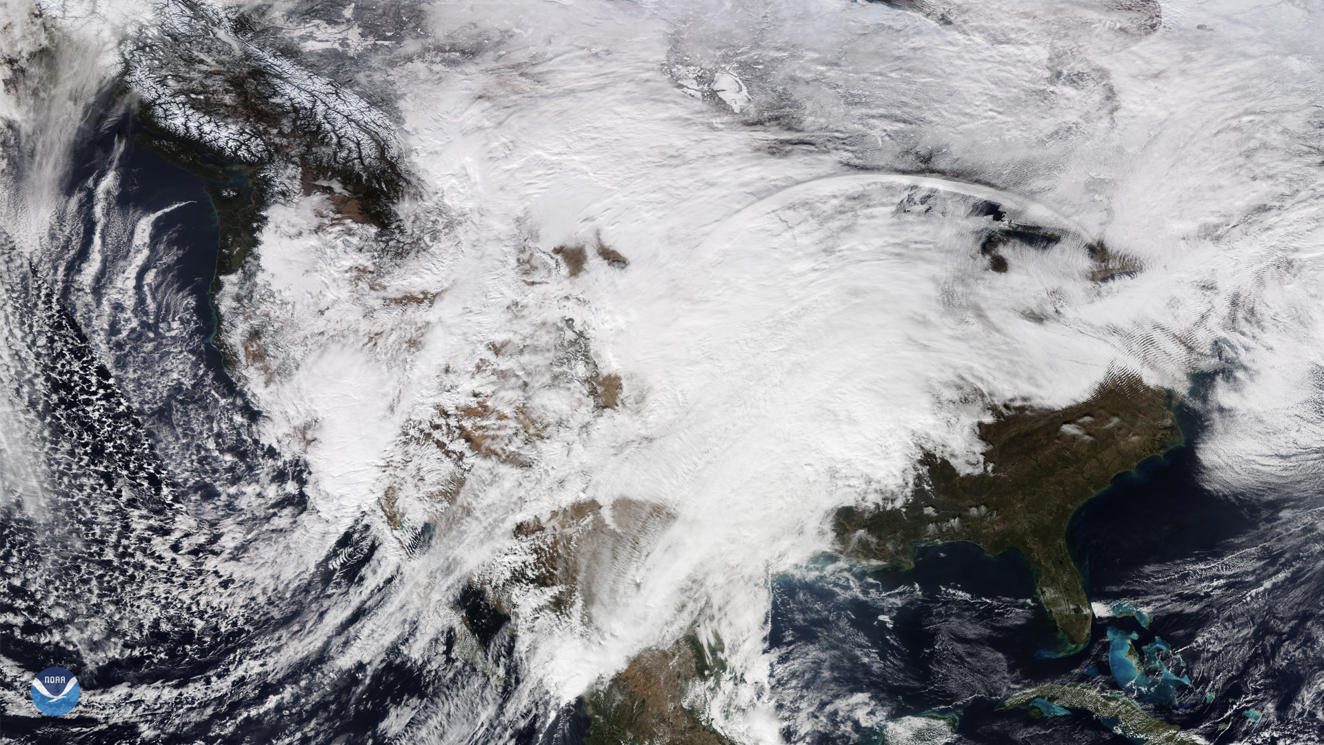
On Nov. 28, NOAA-20 captured this view of the continental United States as it was covered by a large low-pressure system and an…
Satellite Snapshots
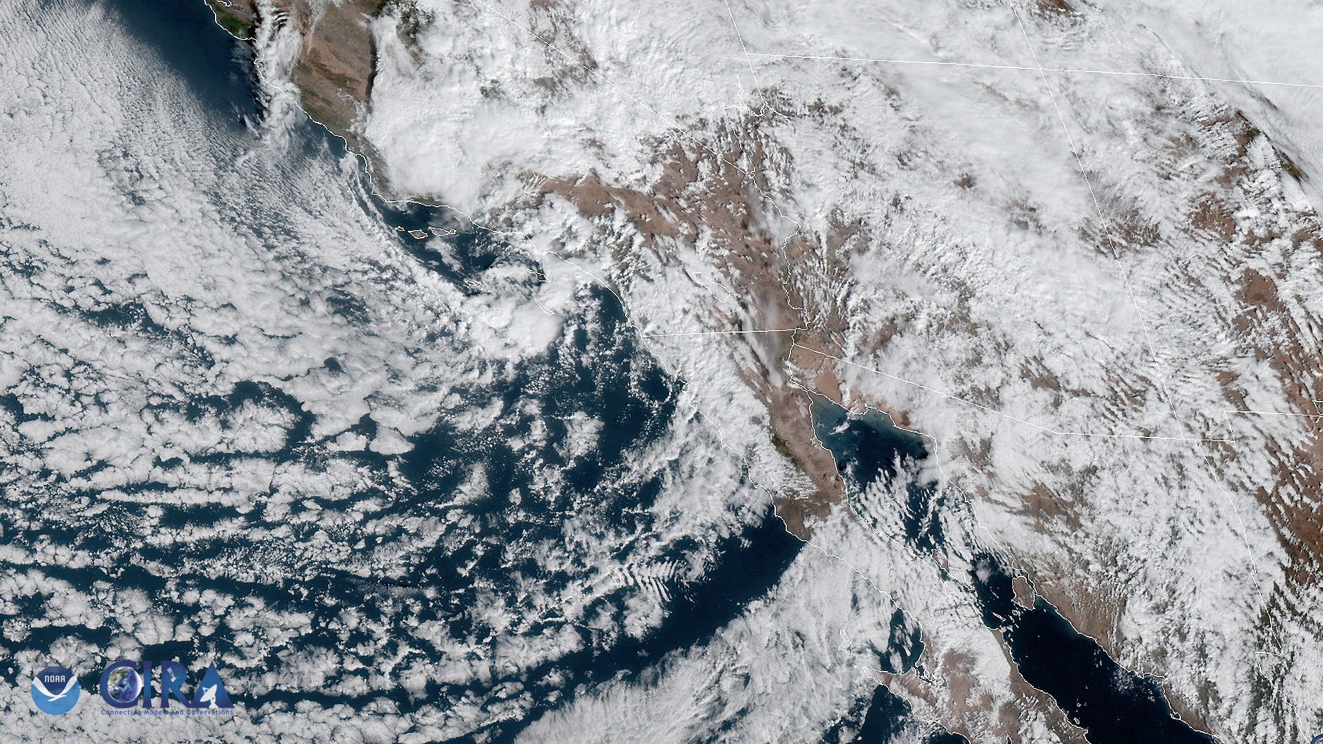
The GOES West satellite captured this image of the southwestern US and the Pacific Ocean on Nov. 20, as it was experiencing a storm…
Satellite Snapshots
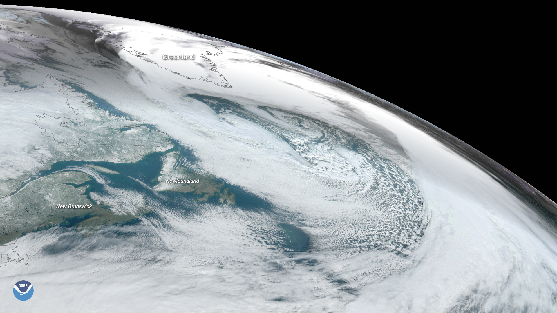
On Nov. 17, 2019, the GOES East satellite captured this image of a massive cyclone that formed over the Labrador Sea between…
Satellite Snapshots
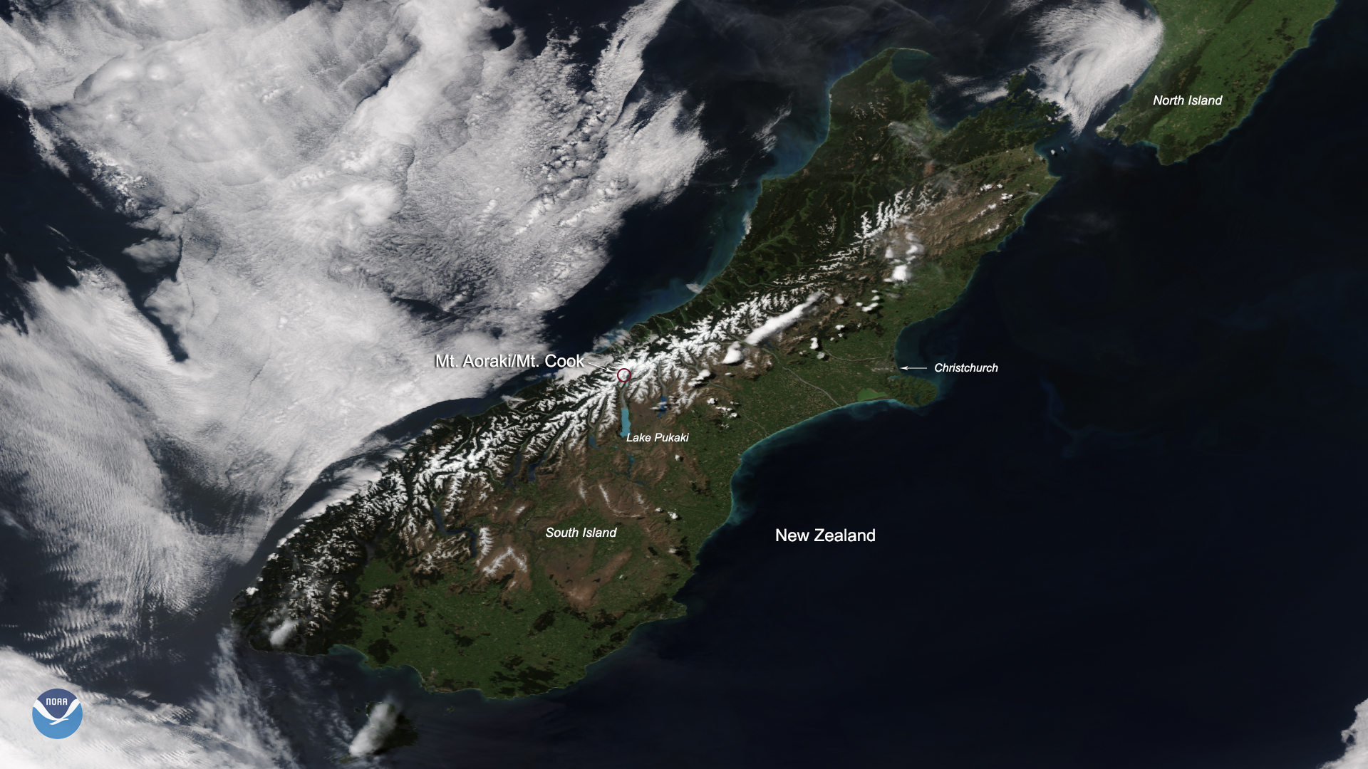
A break in cloud cover allowed the NOAA-20 satellite to snap this stunning view of New Zealand’s Southern Alps, complete with…
Satellite Snapshots
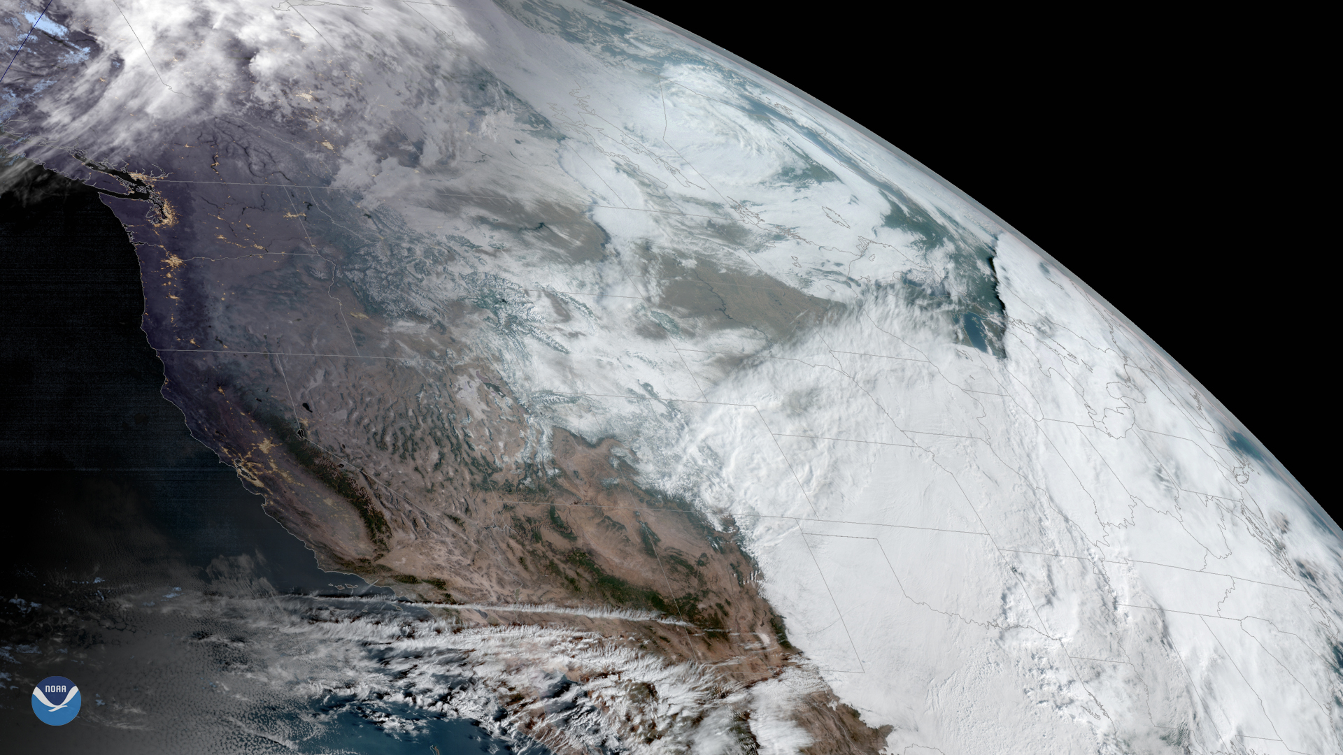
GOES West is watching an early-season snowstorm that is moving into the Plains and Midwest from the Rocky Mountains, which have…