
Satellite Snapshots
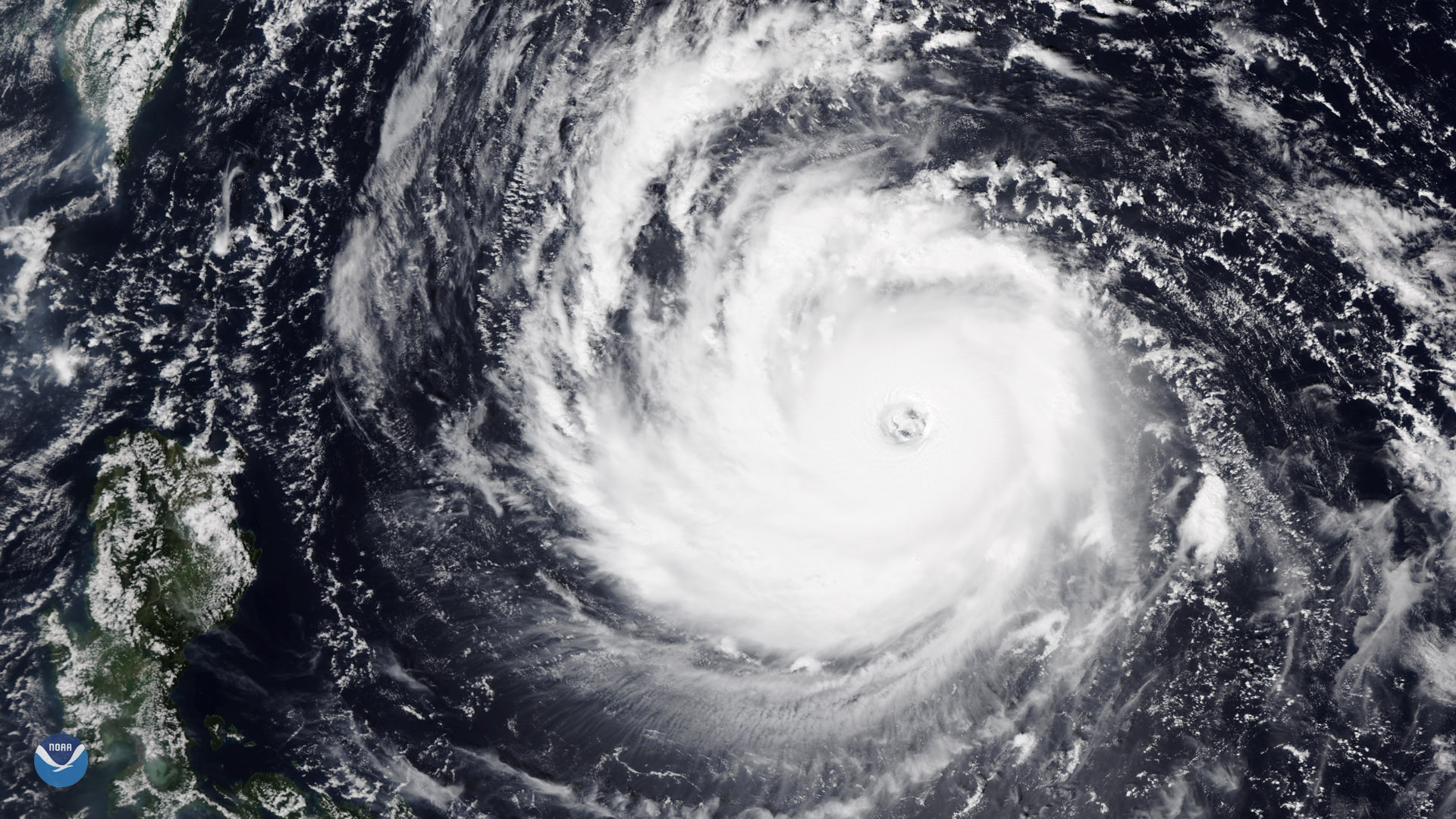
Less than ten days after Super Typhoon Mangkhut battered the Philippines and southern China, another powerful tropical cyclone is…
Satellite Snapshots
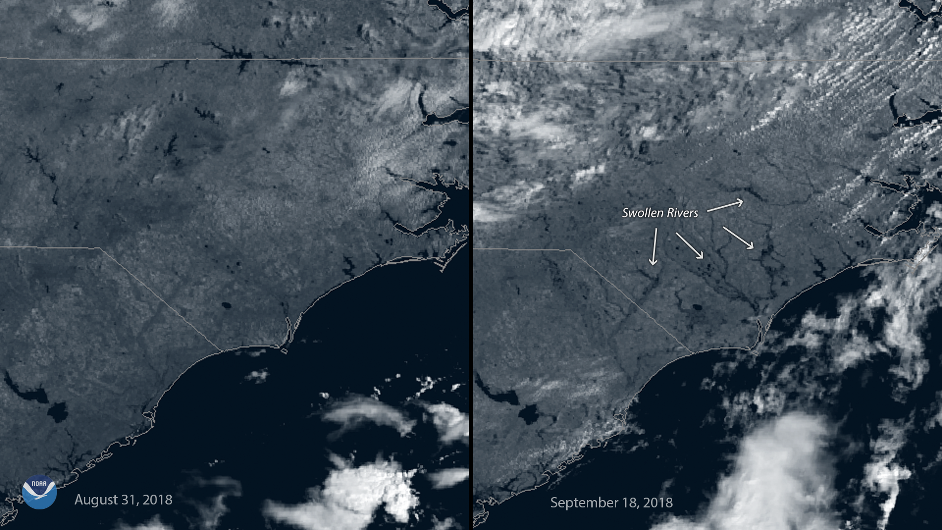
This before-and-after imagery from GOES East shows a changed landscape and flooding after Hurricane Florence affected southeastern North Carolina.
Satellite Snapshots
This before-and-after imagery from GOES East shows a changed landscape and flooding after Hurricane Florence affected southeastern North Carolina.
Satellite Snapshots
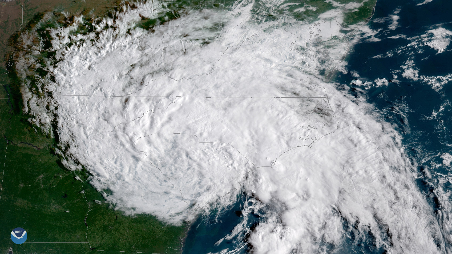
Florence, now a tropical depression with maximum sustained winds of 35 mph, continues to threaten portions of the Carolinas with…
Satellite Snapshots
GOES East captured imagery of Tropical Storm Florence over the Carolinas on Sept. 15, 2018.
Satellite Snapshots
GOES East captured imagery of Tropical Storm Florence over the Carolinas on Sept. 15, 2018.
Satellite Snapshots
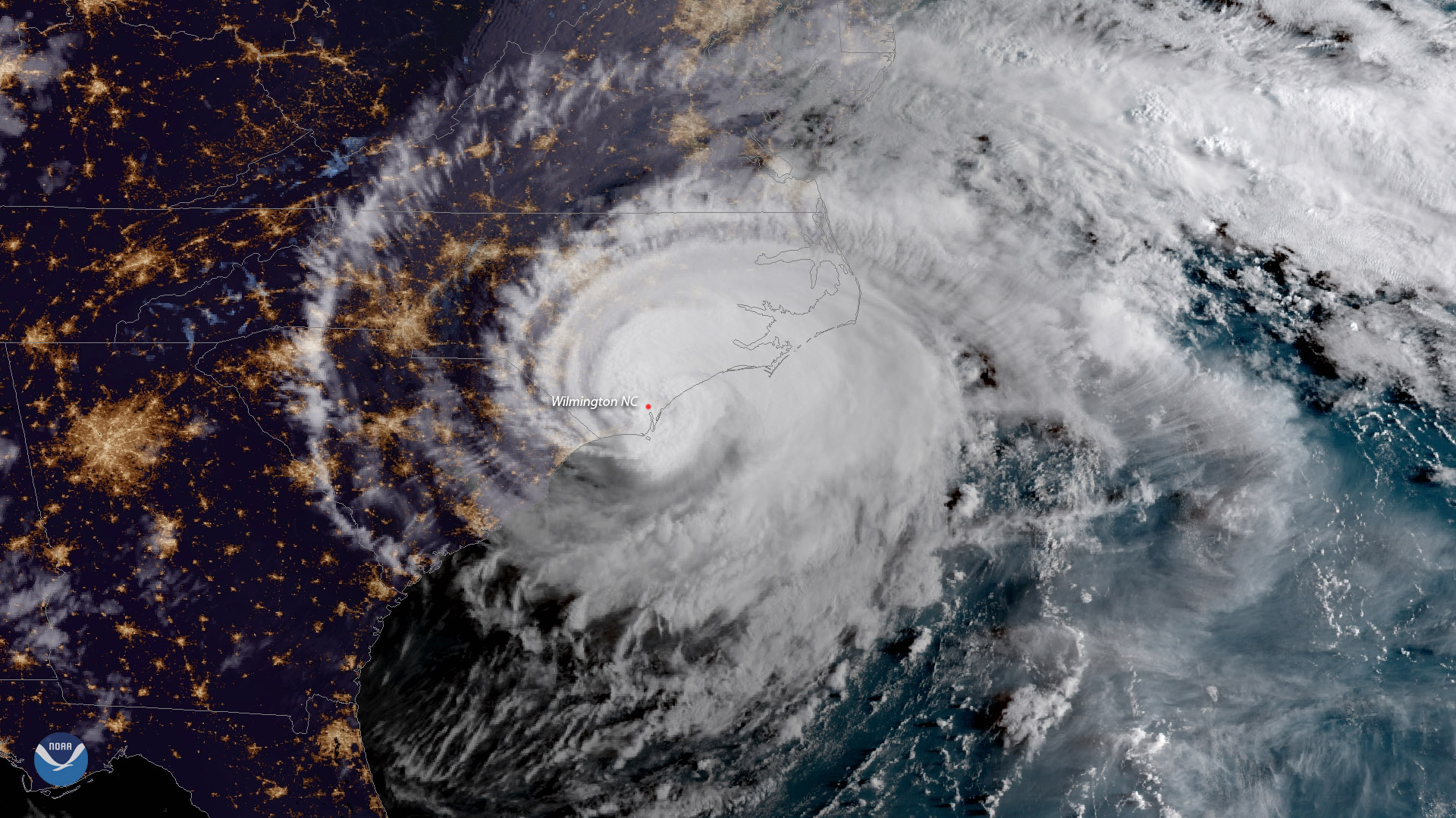
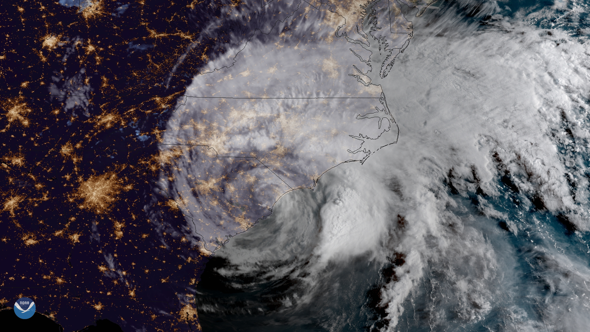
Hurricane Florence made landfall near Wrightsville Beach, North Carolina at 7:15 a.m. ET, September 14, 2018
Feature Story
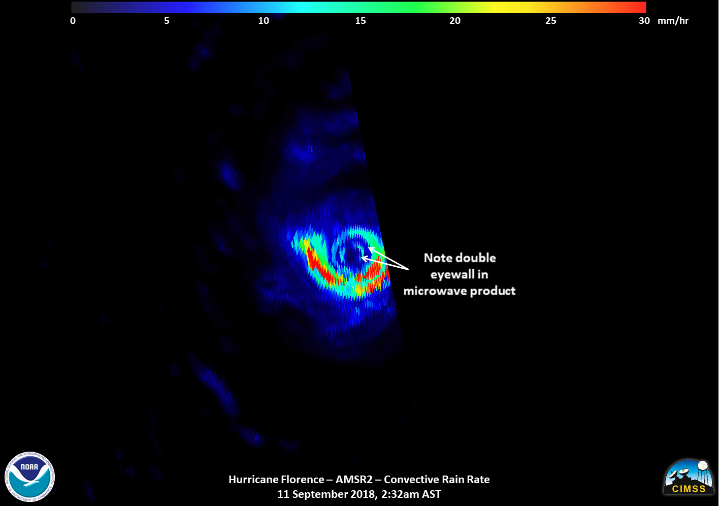
Satellite images of Hurricane Florence captured early Tuesday showed the storm developing a second, outer eyewall. By midday Tuesday, that outer eyewa