
Feature Story

A new product that alerts pilots to clouds, icy conditions and dangerously cold temperatures is tapping into NOAA’s Joint…
Satellite Snapshots
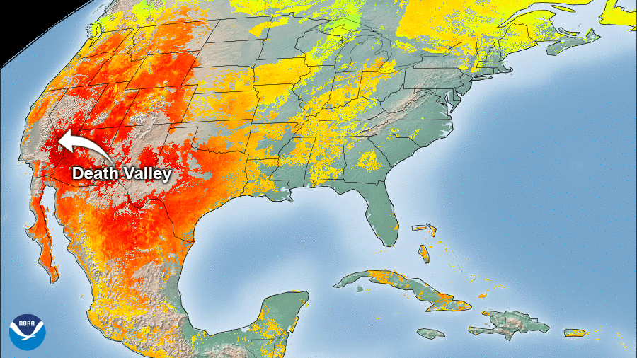
On Sunday, August 16, 2020 at 3:41 p.m. local time, the National Weather Service recorded a blistering temperature of 130 degrees…
Feature Story

NOAA satellites provide critical information for forecasting and tracking tropical storms and hurricanes Image Credit: Steve…
Feature Story
NOAA satellites provide critical information for forecasting and tracking tropical storms and hurricanes Image Credit: Steve…
Feature Story
NOAA satellites provide critical information for forecasting and tracking tropical storms and hurricanes Image Credit: Steve…
Satellite Snapshots
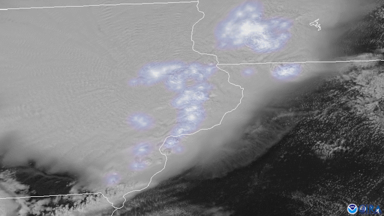
On August 10, 2020, NOAA’s GOES-East satellite tracked severe thunderstorms as they raced across much of the Midwest and caused a…
Satellite Snapshots
On August 10, 2020, NOAA’s GOES-East satellite tracked severe thunderstorms as they raced across much of the Midwest and caused a…
Satellite Snapshots
August 03, 2020 Over the course of several hours on August 2, 2020, NOAA’s GOES-West satellite viewed the Apple Fire in Riverside County, California,…