
Satellite Snapshots
August 03, 2020 Over the course of several hours on August 2, 2020, NOAA’s GOES-West satellite viewed the Apple Fire in Riverside County, California,…
Satellite Snapshots
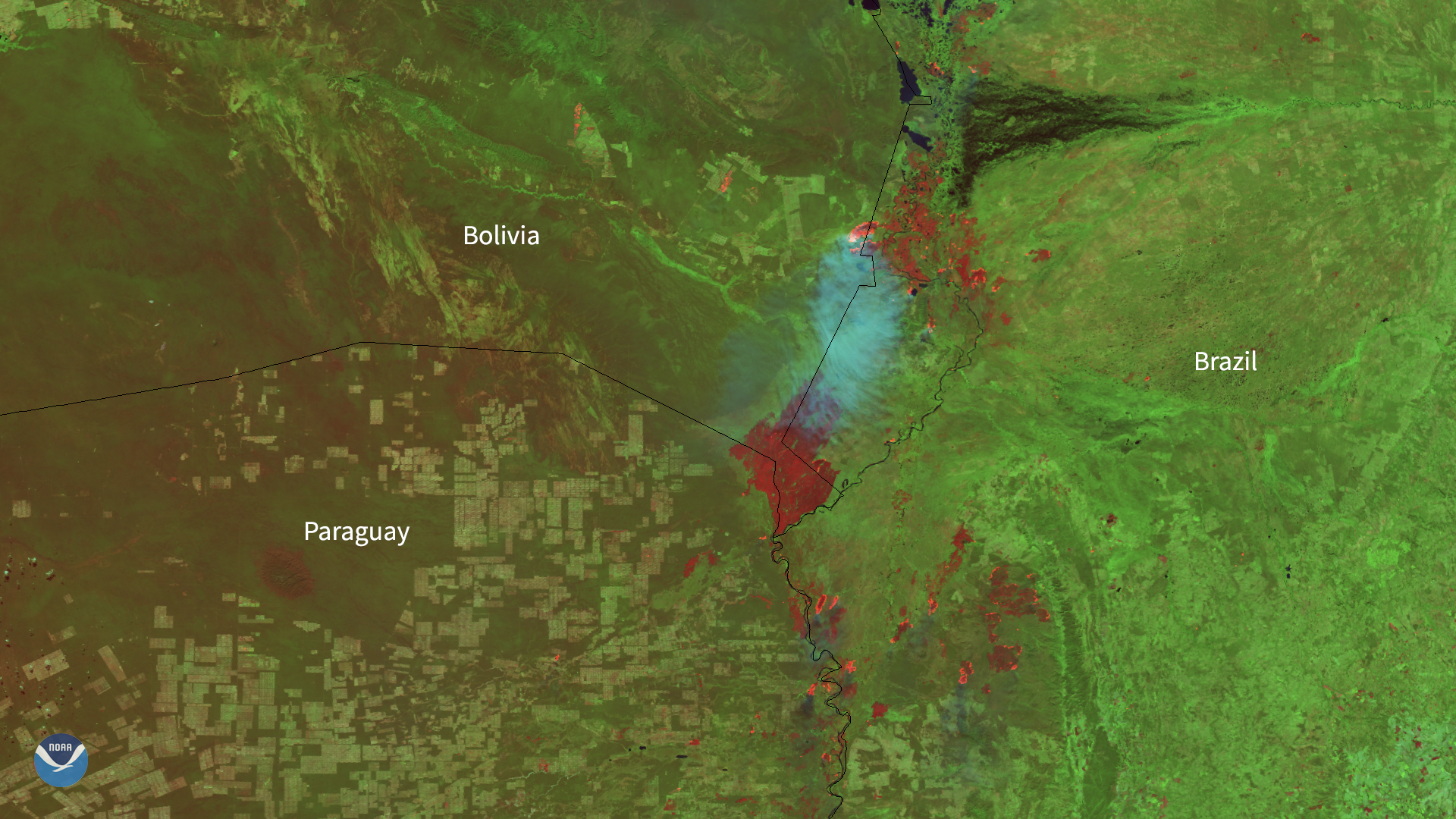
As NOAA’s satellites focused in on South America on Aug. 7, 2020, they could see smoke plumes from various fires across the continent…
Satellite Snapshots
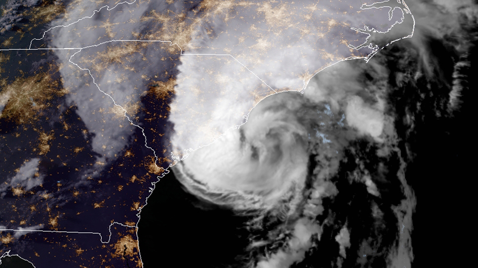
NOAA just updated its 2020 Atlantic Hurricane Season Outlook.
Satellite Snapshots
August 05, 2020 On July 29, 2020, NOAA’s GOES-East satellite viewed the snow-capped Andes mountains along the Chile-Argentina border. The Andes…
Satellite Snapshots
In both visible and infrared imagery, dust can often be confused with clouds such as cirrus, since they are both considered optically thin.
Satellite Snapshots
July 30, 2020 Over the course of July 28–29, 2020, NOAA’s GOES-West satellite viewed a North Pacific low pressure system swirling in the Gulf of…
Satellite Snapshots

GOES-West captured this impressive view of the eye of Hurricane Douglas as it spun over the Pacific.
Satellite Snapshots
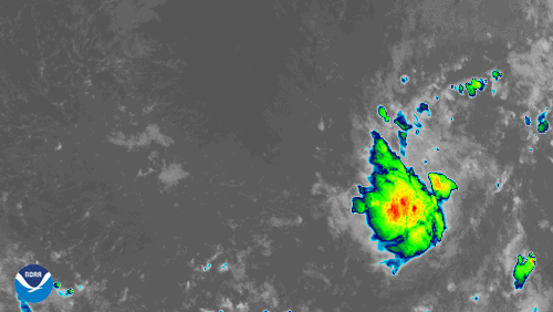
GOES-East zoomed in on newly-formed Tropical Storm Gonzalo.