
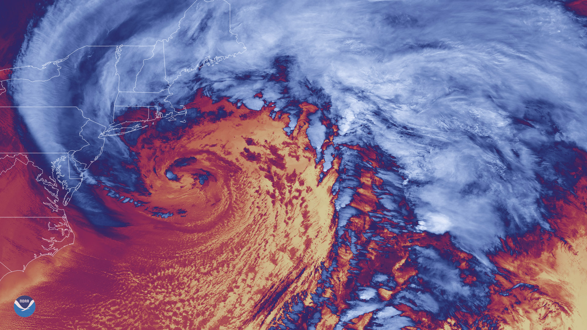
Satellite Snapshots
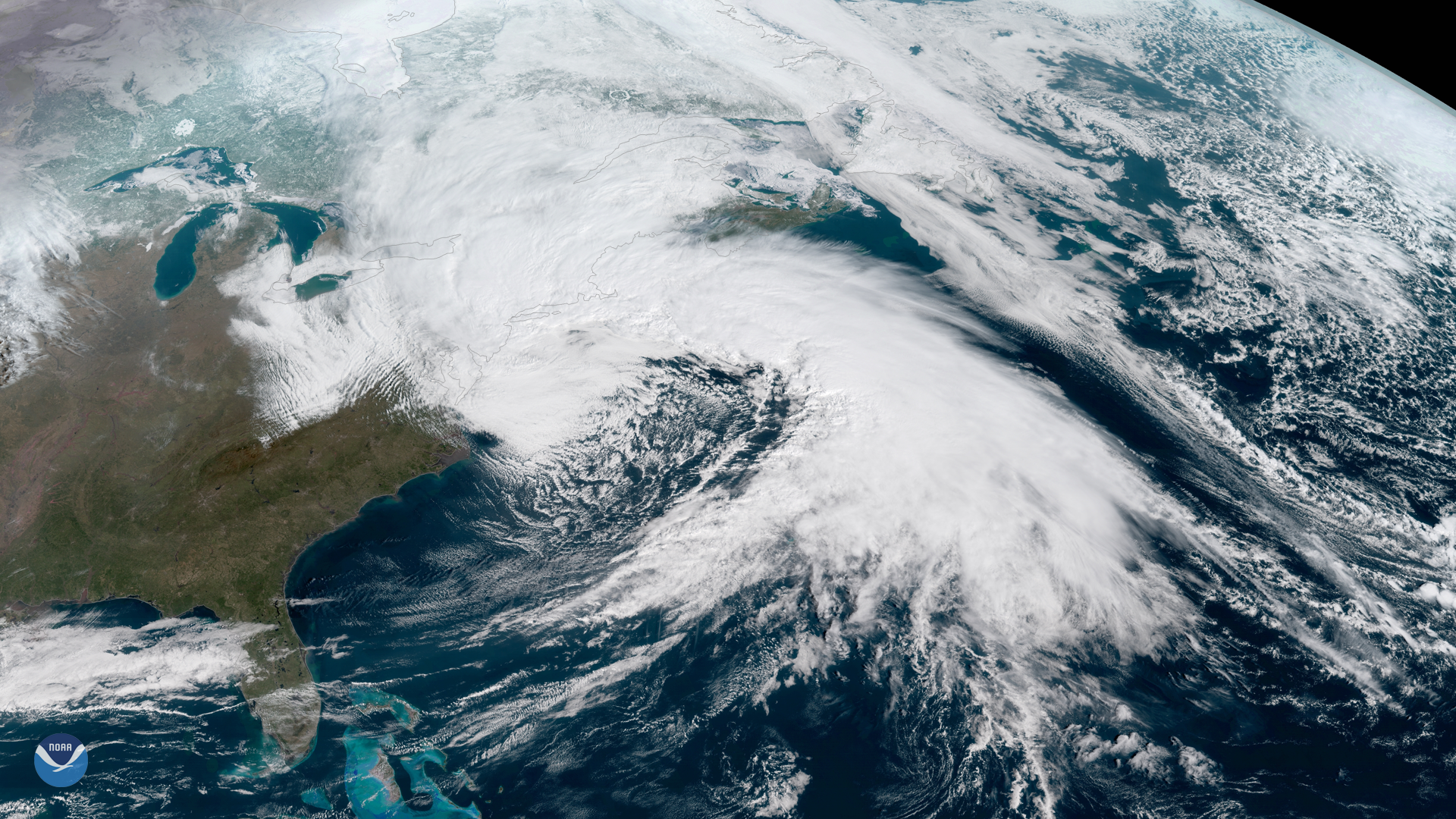
NOAA's GOES East satellite captured this dramatic image of last week's powerful nor'easter that brought gale-force winds, rain and…
Announcement
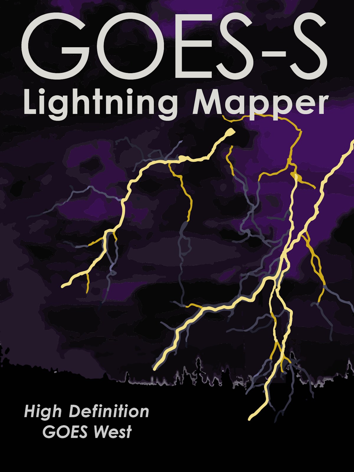
NOAA GOES-S will not only image the Earth as it sees it in true color, it also will be able to detect and monitor weather…
Feature Story
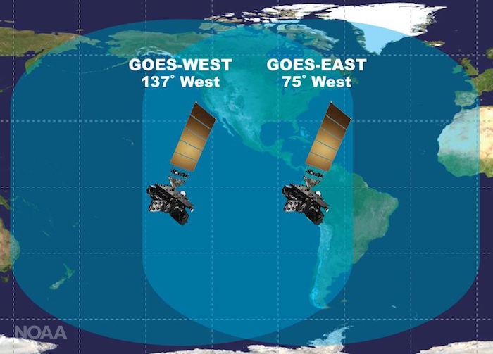
Excitement is building for the launch of GOES-S. On March 1, 2018, NOAA’s newest geostationary satellite will launch into…
Feature Story
Excitement is building for the launch of GOES-S. On March 1, 2018, NOAA’s newest geostationary satellite will launch into…
Feature Story
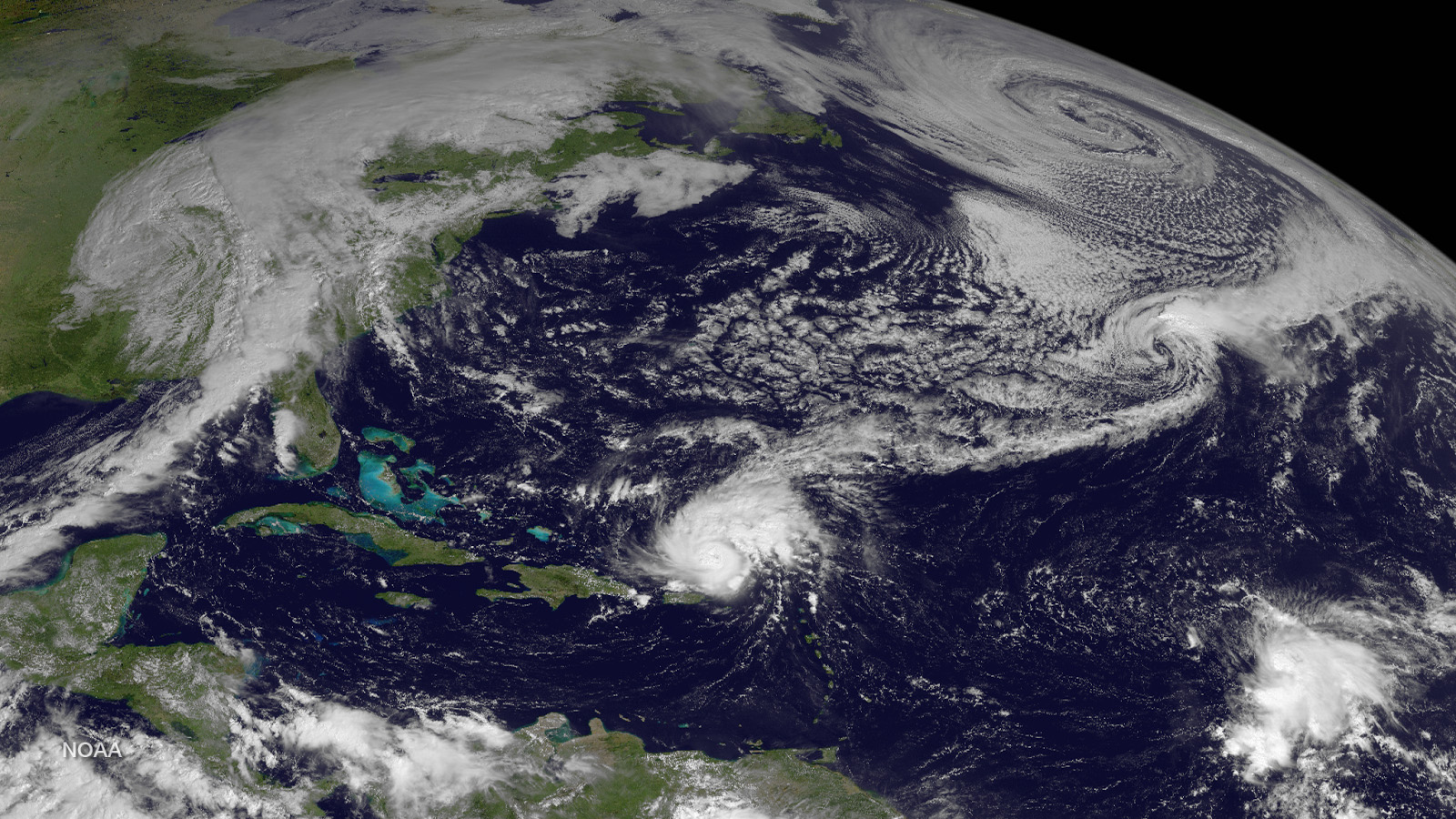
For more than seven years, NOAA’s GOES-13 satellite has been actively monitoring the skies over the Western Hemisphere.
Feature Story
For more than seven years, NOAA’s GOES-13 satellite has been actively monitoring the skies over the Western Hemisphere.
Feature Story
Makes way for next generation of weather imagery! NOAA’s GOES-13 satellite has captured some of the most notorious weather…
Satellite Snapshots
Forty-seven days after it was first launched, the NOAA-20 polar-orbiting satellite sent back its first thermal infrared images on…