
Satellite Snapshots
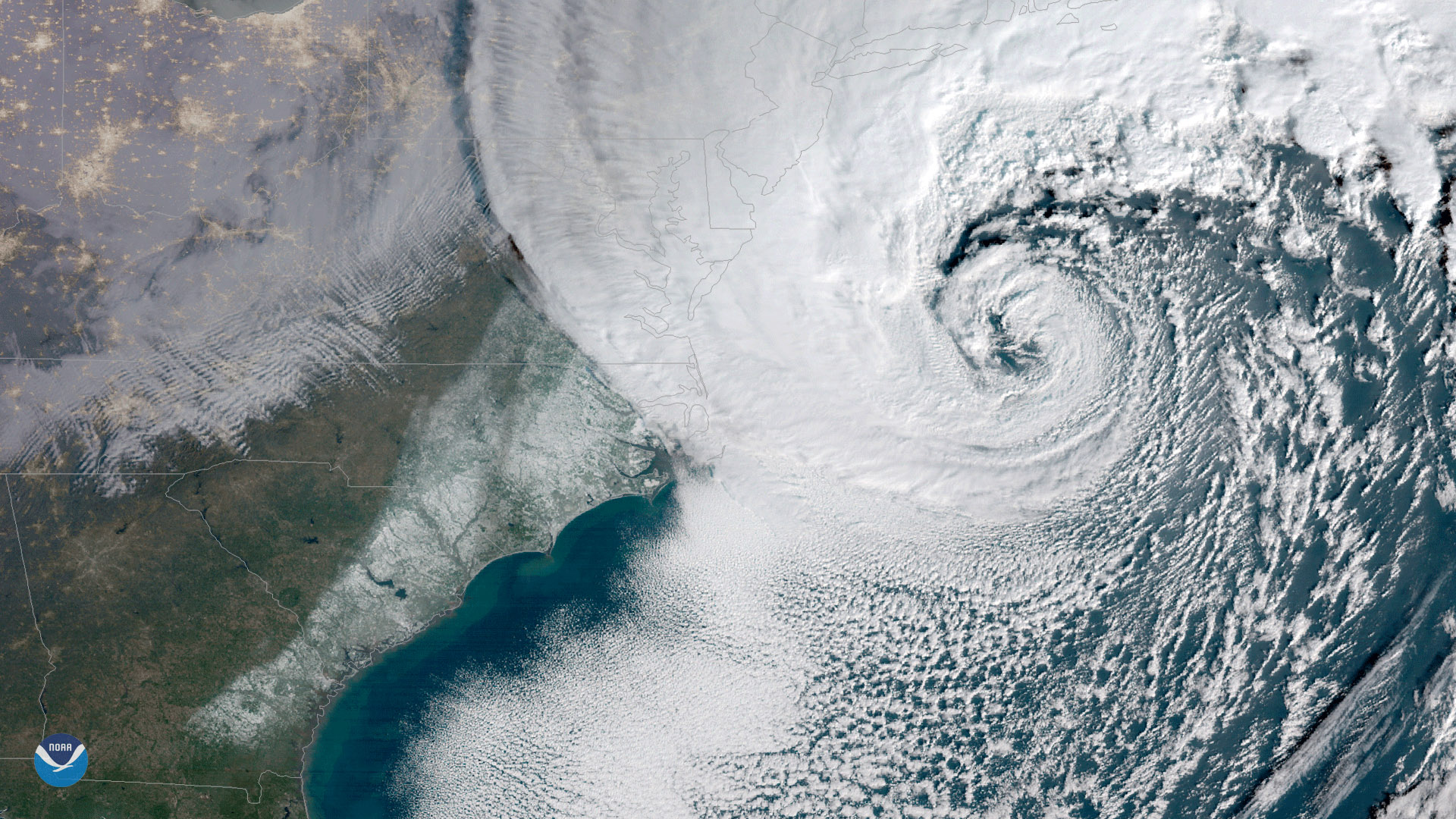
NOAA's GOES East satellite captured this geocolor enhanced image of a powerful nor'easter moving up the U.S. Eastern Seaboard on…
Satellite Snapshots
This data visualization shows the maximum wind gusts of Hurricane Irma.
Feature Story

NOAA GOES-16, the newest and most advanced geostationary weather satellite, will begin moving into its operational orbit…
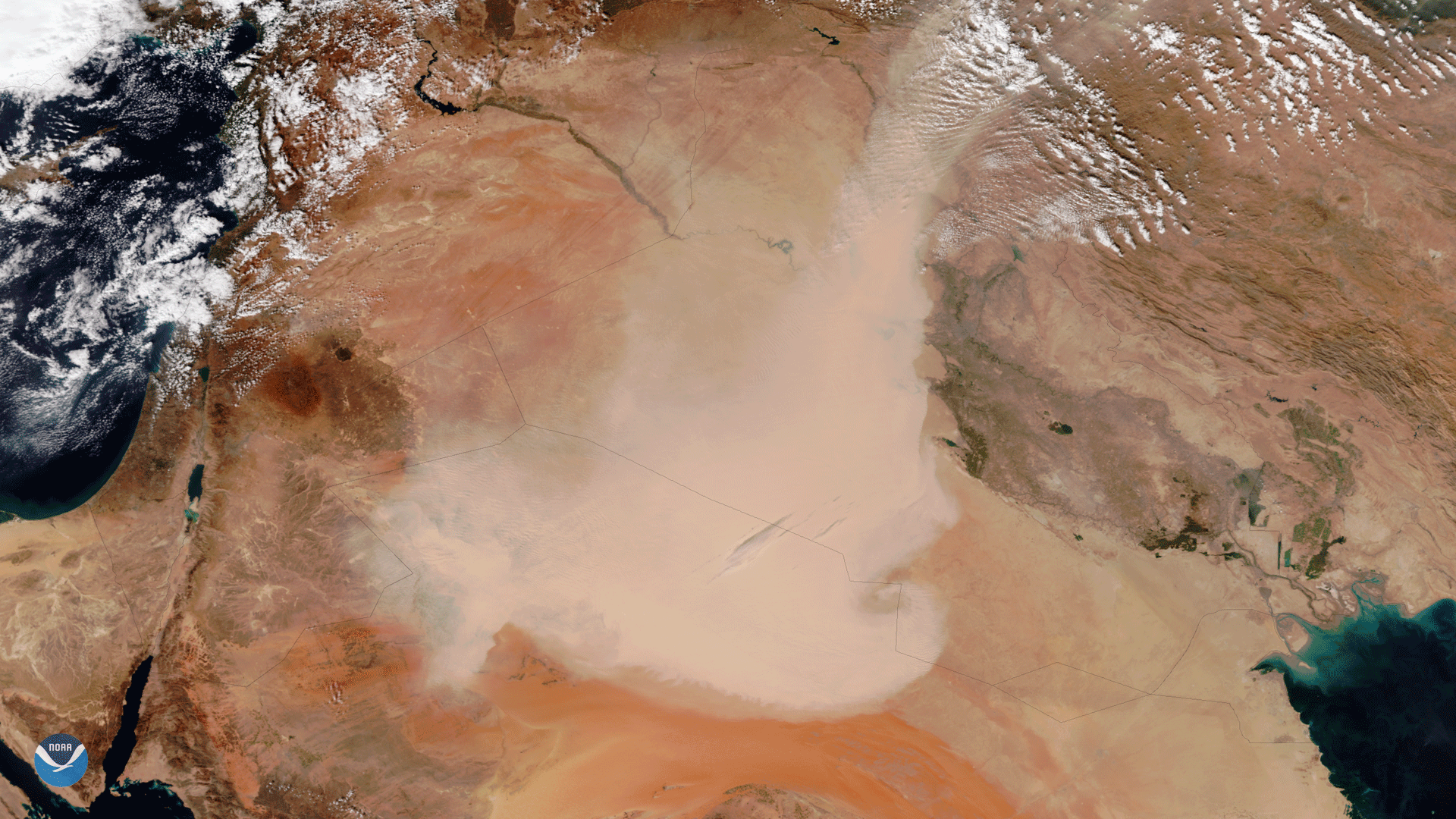
Satellite Snapshots

NOAA/NASA's Suomi NPP captured this image of a rare tropical-like storm system in the Mediterranean Sea intensifying off of Italy's…
Satellite Snapshots

The Suomi NPP satellite's VIIRS instrument took this image of Tropical Storm Rina in the central Atlantic Ocean on November 7, 2017…
Feature Story
Unusually hot days are becoming much more common. Prolonged periods of these unusually hot days - known as heat waves - are…
Satellite Snapshots
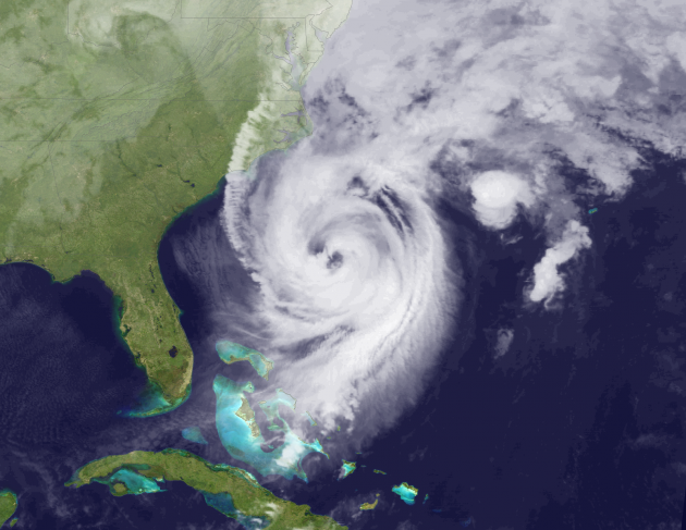
The Visible Infrared Imaging Radiometer Suite (VIIRS) aboard the NOAA/NASA Suomi NPP satellite captured this true-color image of a…
Feature Story
As for vampires, ghosts and goblins, well we can’t be sure...but double eyed hurricanes, now that’s a topic we can sink our…