
Satellite Snapshots
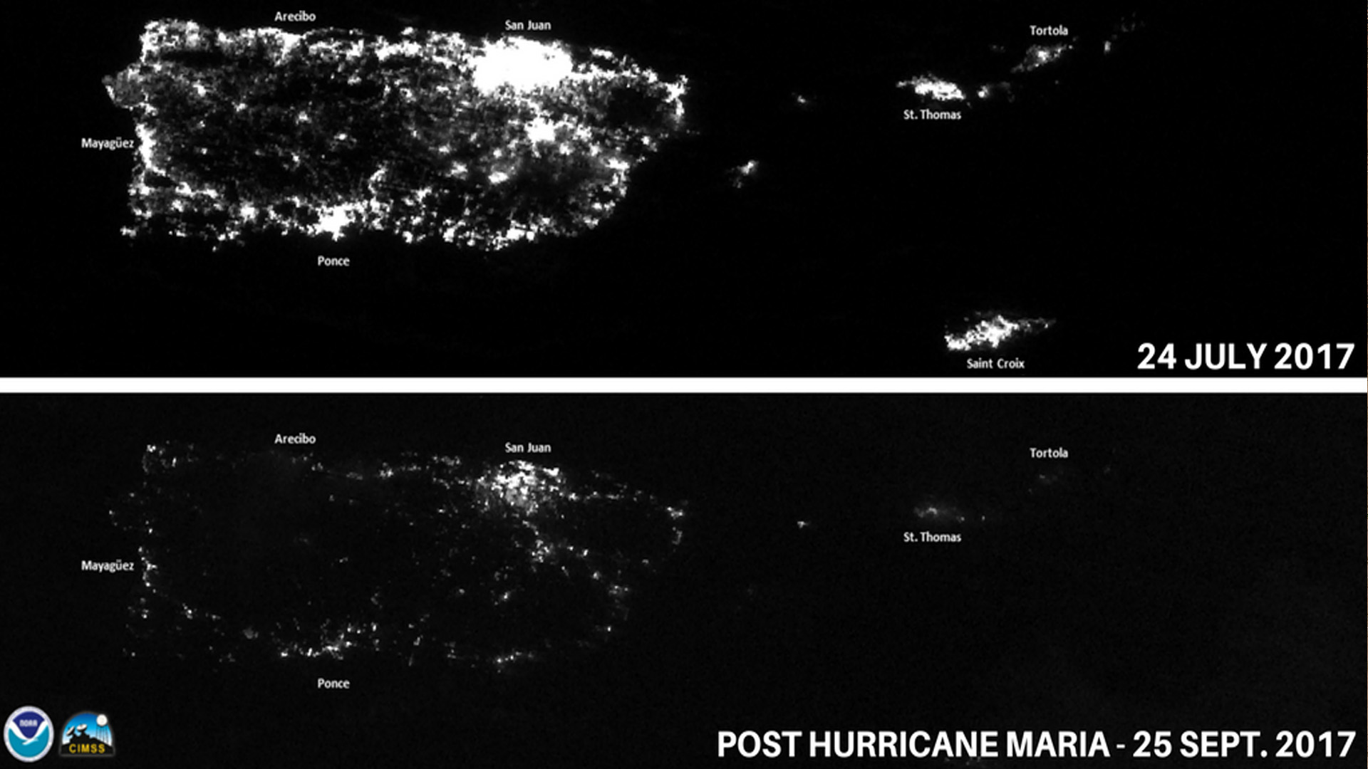
Some hurricane damage can’t be captured by photographs; these storms can inflict profound harm to the mental health of people.
Satellite Snapshots
May 07, 2020 As the NOAA-20 satellite passed over the Antarctic Peninsula on May 5, 2020, it captured this cloudy image of the world’s largest…
Feature Story
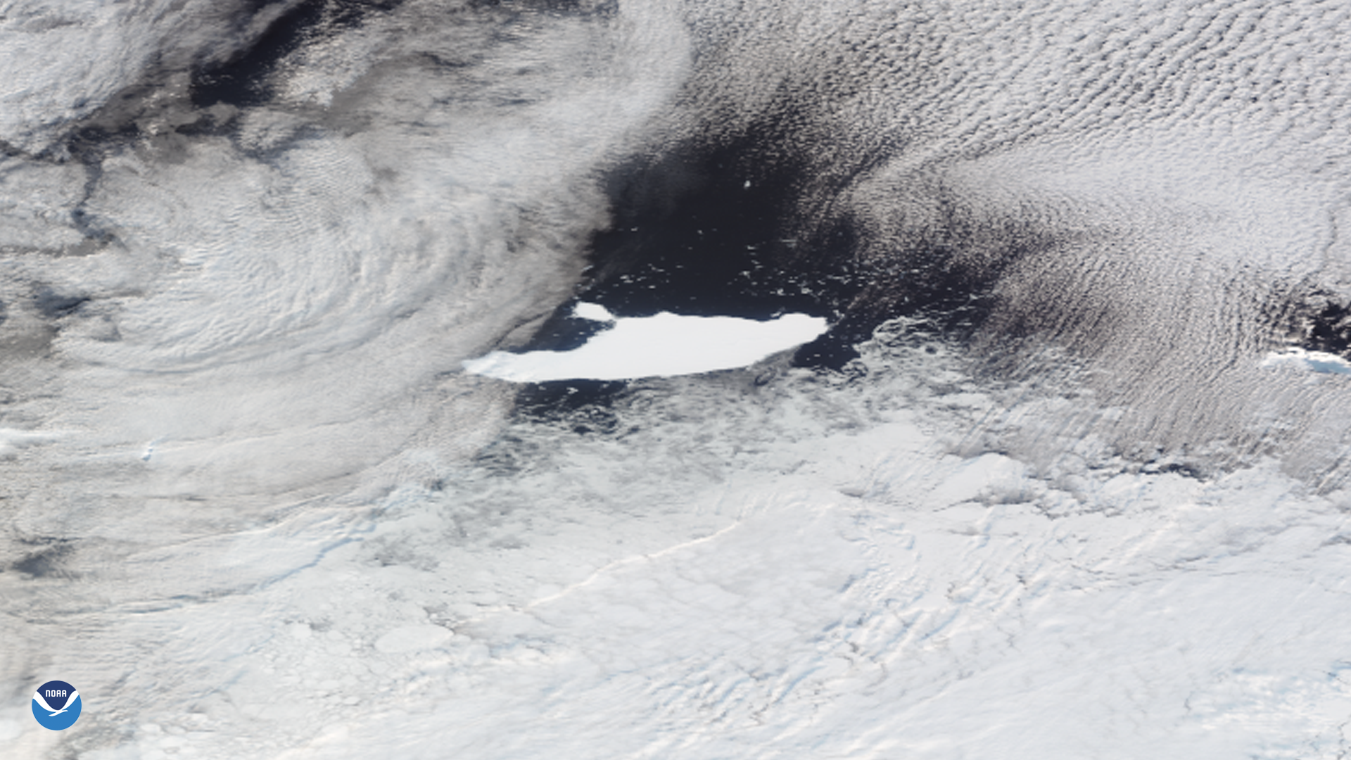
Icebergs A-68A and the smaller A-68C, seen through the clouds by the NOAA-20 satellite…
Feature Story

The Cross-Track Infrared Sounder (CrIS) instrument built to fly on the Joint Polar Satellite System (JPSS)-2 satellite is ready to ship to the spacecr
Satellite Snapshots
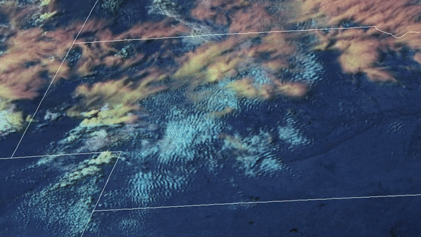
May 05, 2020 A line of severe thunderstorms, known as aderecho, made an appearance once again this spring—this time, through the lens of GOES-East as…
Satellite Snapshots
From the evening of May 3 into the early morning of May 4, 2020, the GOES-East satellite used a combination of its visible band and Day and Night.
Satellite Snapshots
May 01, 2020 On April 30, 2020, GOES-East (right) and GOES-West (left) saw a well-known weather interaction play out in Northeastern Mexico. In this…
Satellite Snapshots
May 01, 2020 On April 30, 2020, GOES-East (right) and GOES-West (left) saw a well-known weather interaction play out in Northeastern Mexico. In this…