
Feature Story
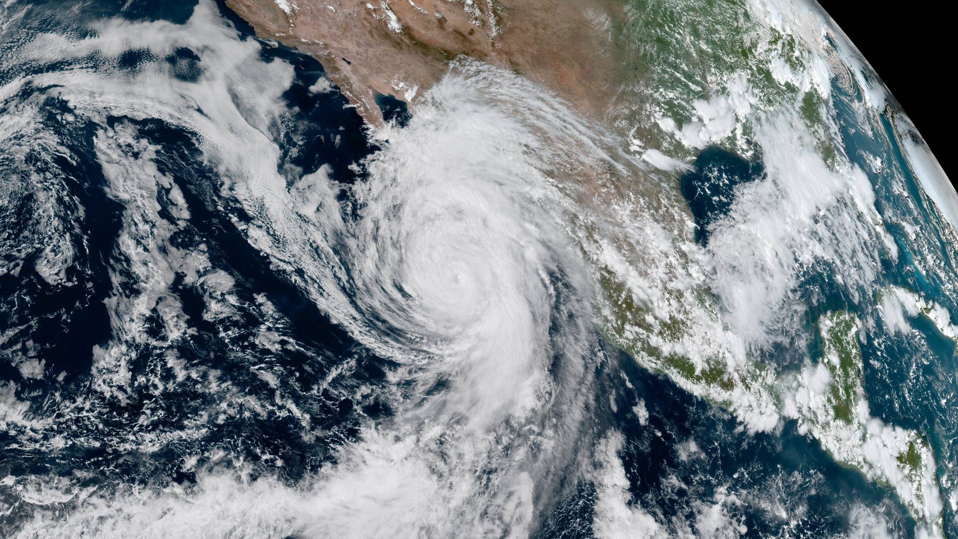
NOAA prepares forecasters for early availability of GOES-18 data during the 2022 Atlantic Hurricane Season.
Earth from Orbit
Temperatures have soared to record-breaking highs across Europe. In the United Kingdom, at least 34 sites have exceeded the previous national records.
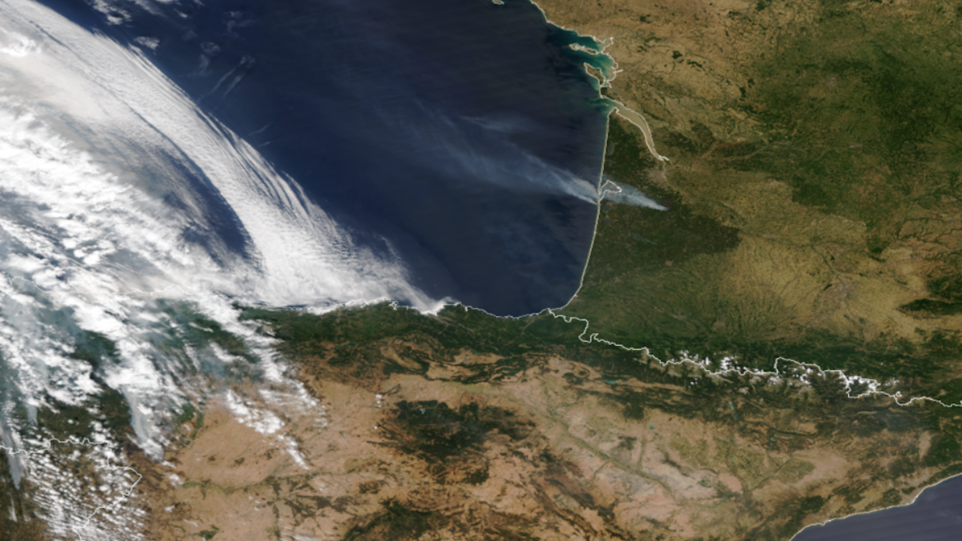
Earth from Orbit
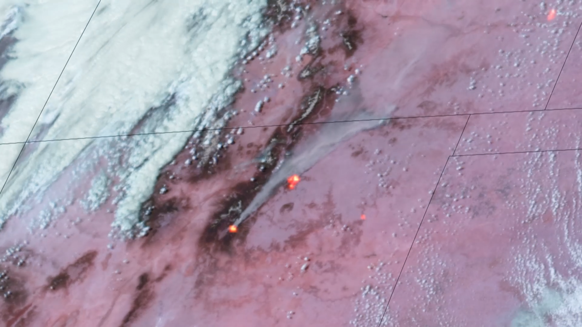
June 2022 saw a record number of fires burning across Alaska, which have compromised air quality and stretched firefighting resources thin.
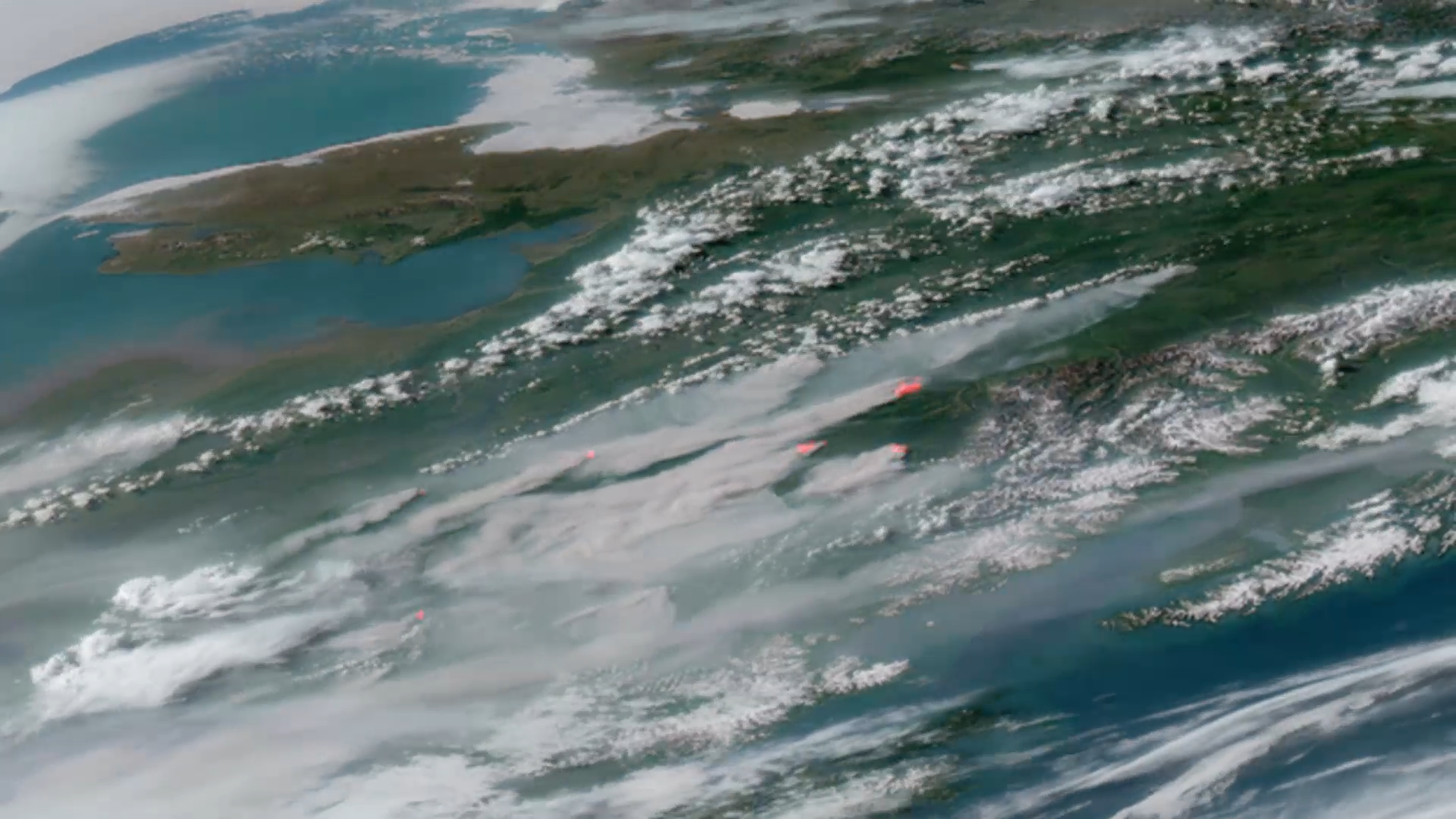
Satellite Snapshots
GOES East captured this dynamic imagery of massive grayish-white smoke plumes emanating from the Cerro Pelado, Cooks Peak.
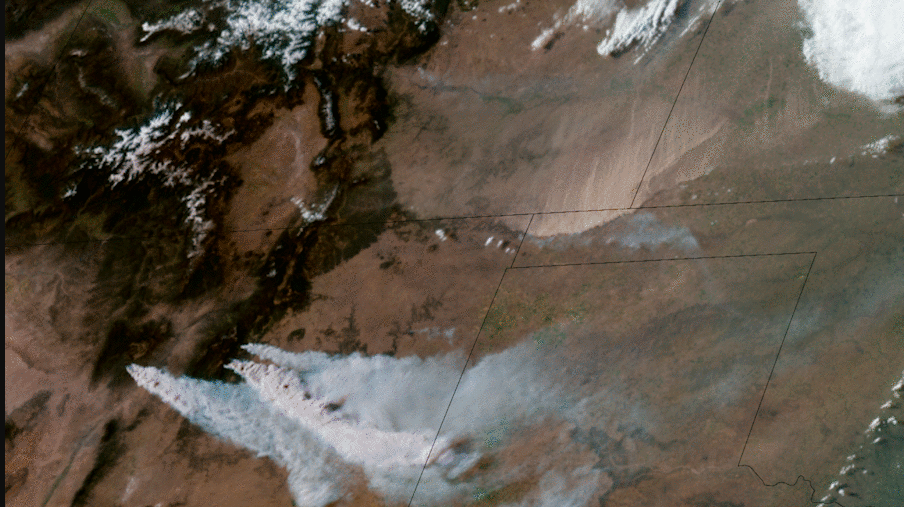
Earth from Orbit
Fire season in the Southwest and High Plains arrived early this year, fueled by gusty winds, low humidity, and dry conditions.
Satellite Snapshots
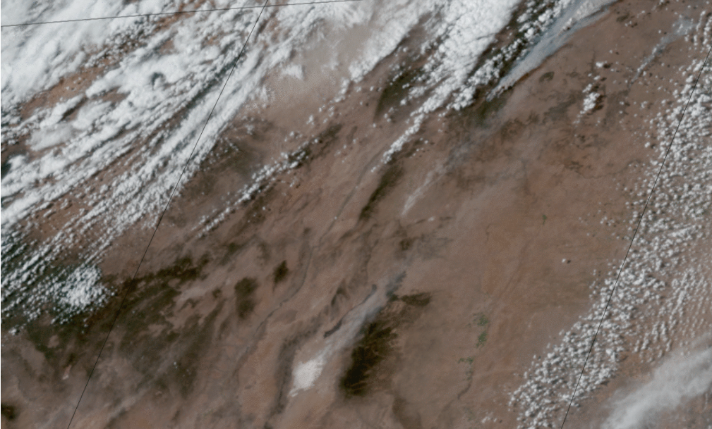
On Earth Day, April 22, NOAA’s GOES East satellite watched strong winds kick up dust and sand in West Texas and New Mexico.
Earth from Orbit
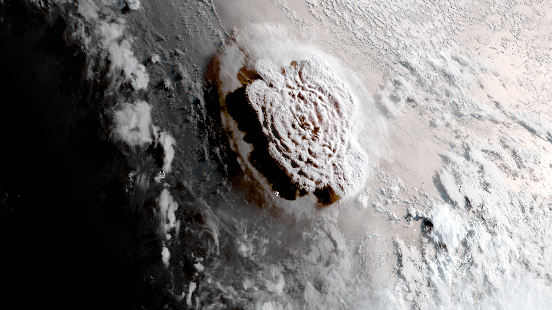
Hunga Tonga-Hunga Ha’apai, located in the South Pacific Kingdom of Tonga, has erupted three times in less than thirty days. The volcano has sporadical
Feature Story
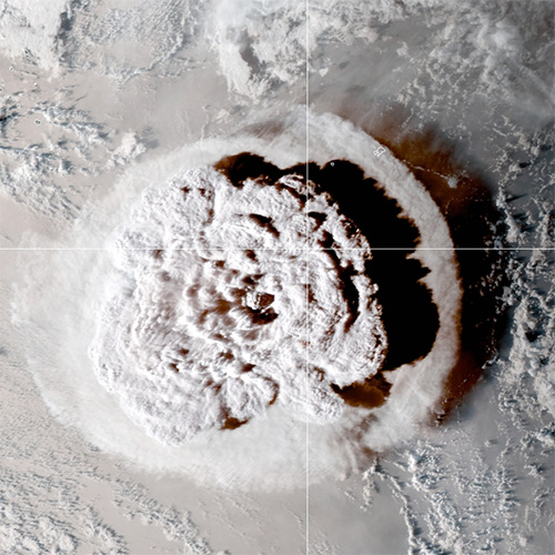
At 4:10 UTC on 15 January 2022, the Hunga-Tonga Volcano in the South Pacific erupted.The eruption occurred about 40 miles north of Tonga's capital Nuk