
Satellite Snapshots
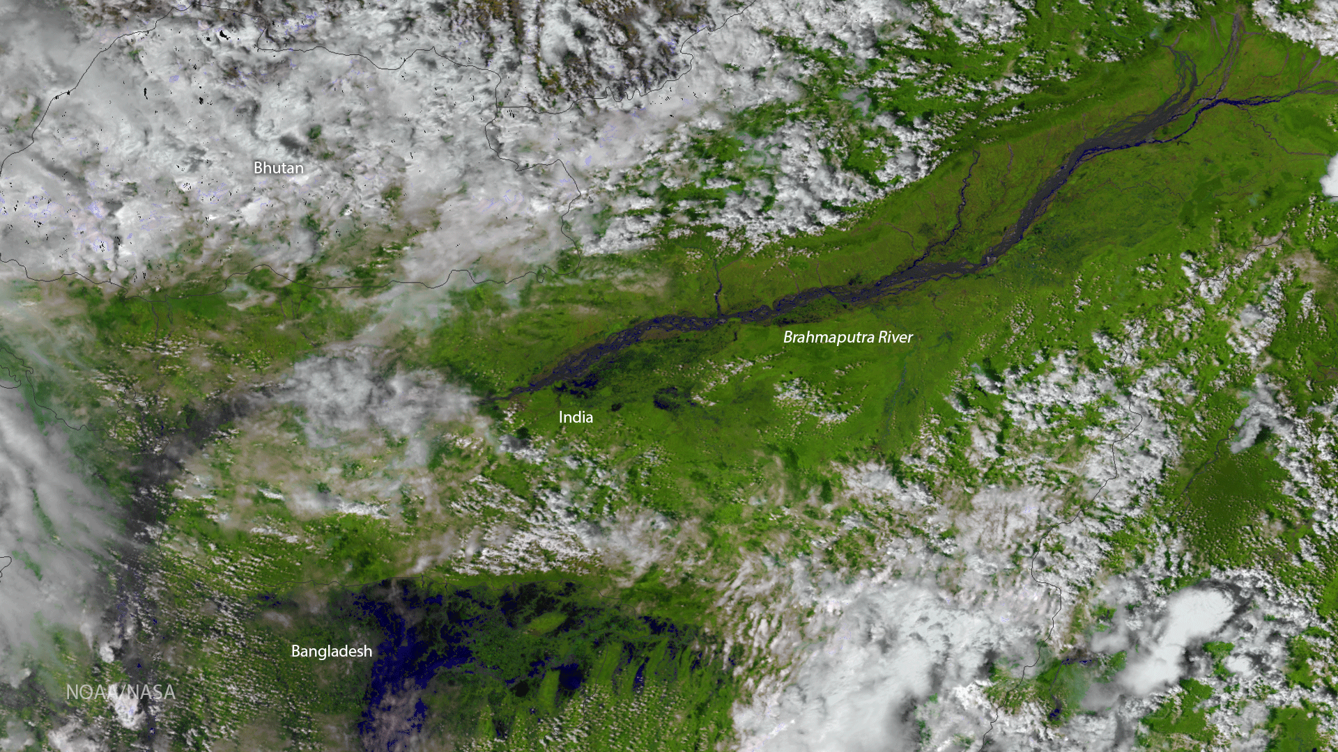
The Visible Infrared Imaging Radiometer Suite (VIIRS) instrument aboard the NOAA/NASA Suomi NPP satellite captured this color…
Satellite Snapshots
GOES-16 captured this image of Tropical Storm Harvey traversing the Windward Islands and entering the Caribbean Sea on August 18,…
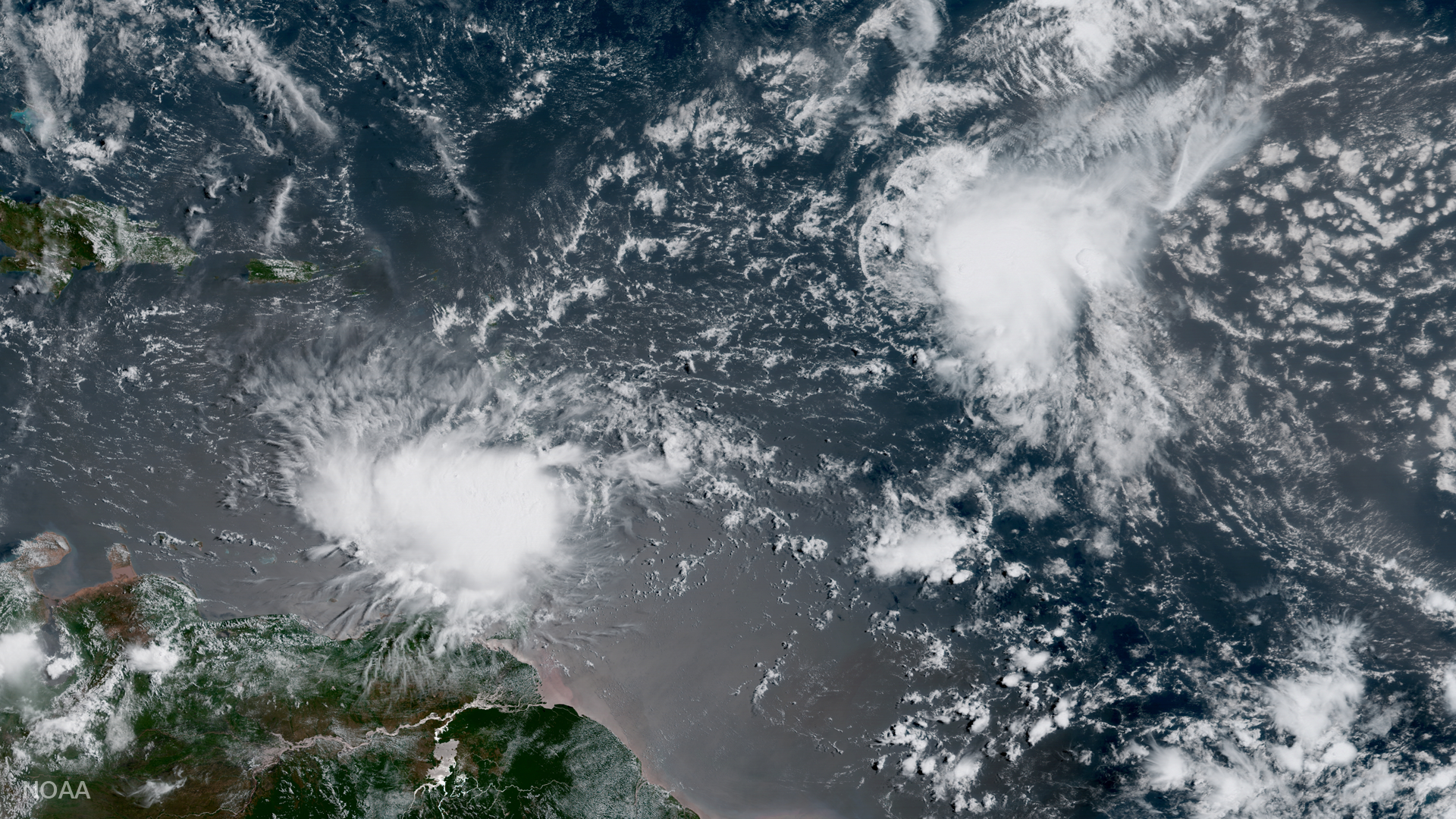
Satellite Snapshots
GOES-16 captured this image of Tropical Storm Harvey traversing the Windward Islands and entering the Caribbean Sea on August 18,…
Satellite Snapshots
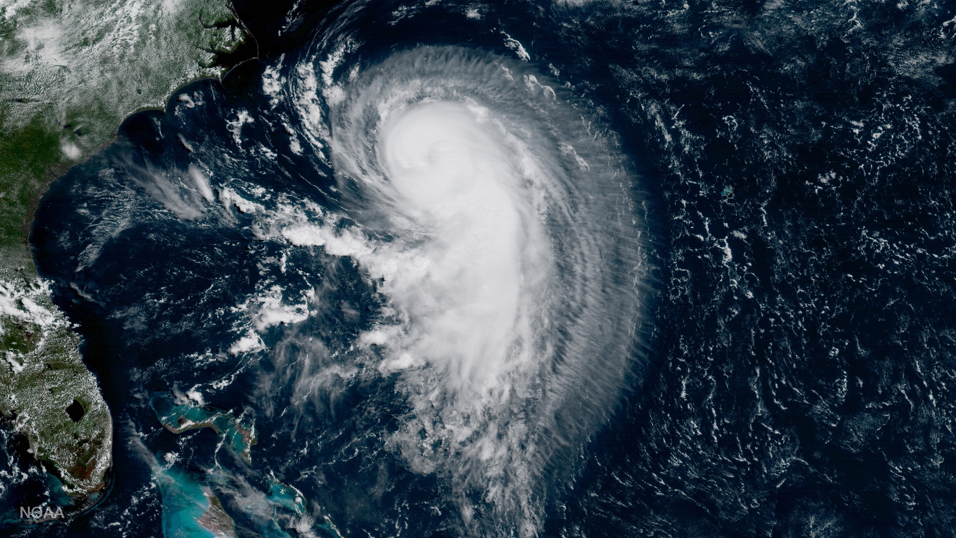
GOES-16 captured this image of Hurricane Gert in the Atlantic Ocean on August 15, 2017, 365 nautical miles west of Bermuda moving north-northeast
Feature Story
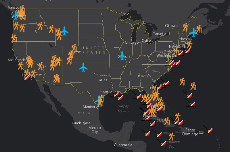
Summer is here! For many of us, that means summer vacations, and, in general, more time spent outdoors. But we wondered:…
Satellite Snapshots
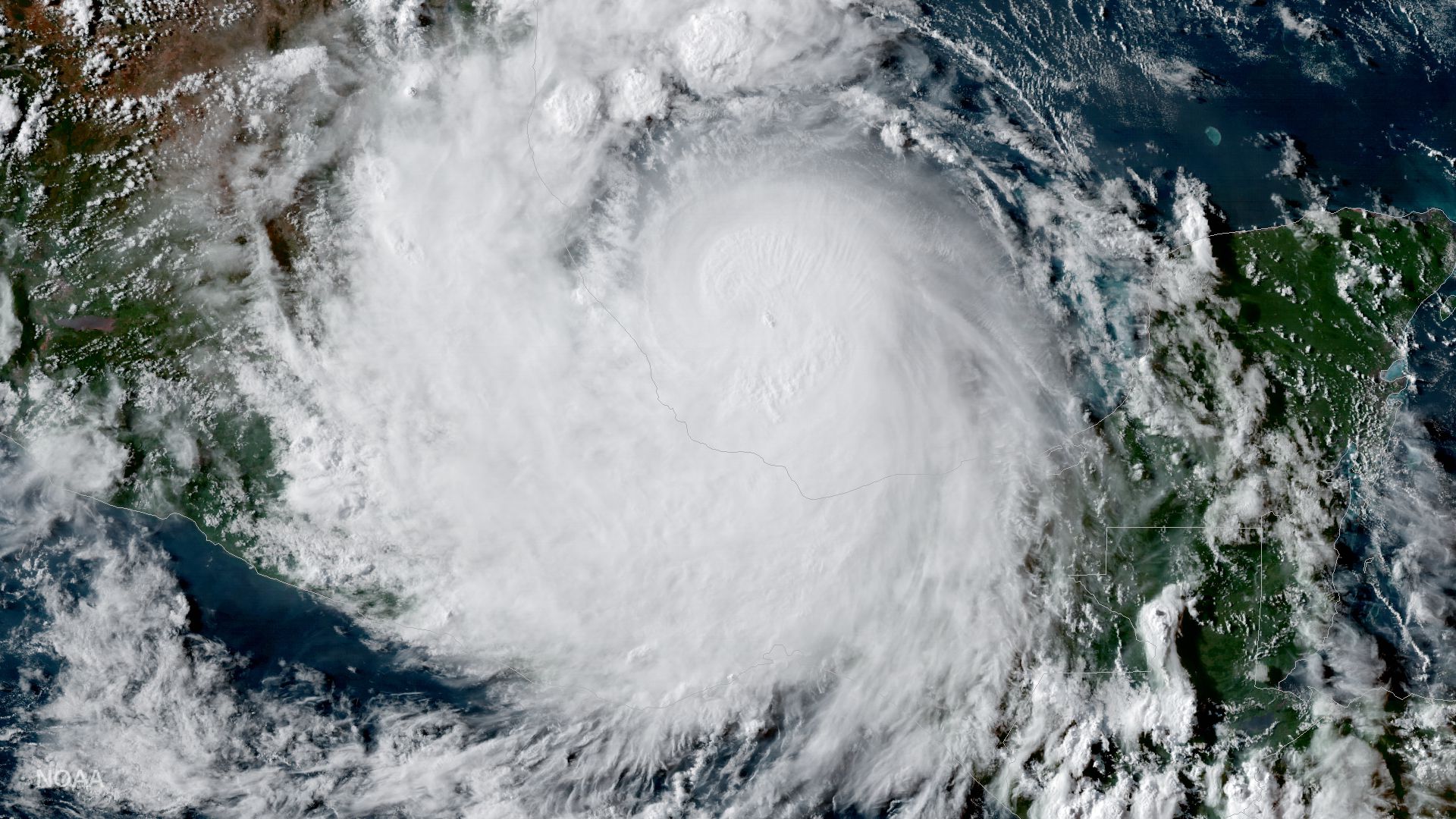
GOES-16 captured this geocolor image of Hurricane Franklin (now a remnant low) on the evening of August 9, 2017. According to the…
Feature Story
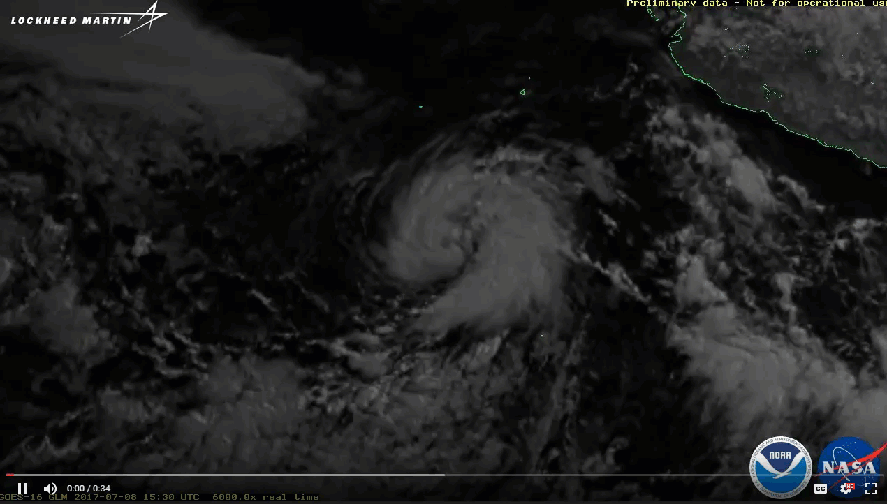
Notice anything interesting about this imagery from GOES-16's Geostationary Lightning Mapper? The Geostationary Lightning…
Satellite Snapshots
GOES East captured imagery of a derecho that tore through the north-central Plains on July 19, 2017.