
Satellite Snapshots
April 02, 2020 On March 29, 2020, the NOAA-20 satellite viewed the snowpack on top of the Hindu Kush Himalayas. During this time of the year, when…
Satellite Snapshots
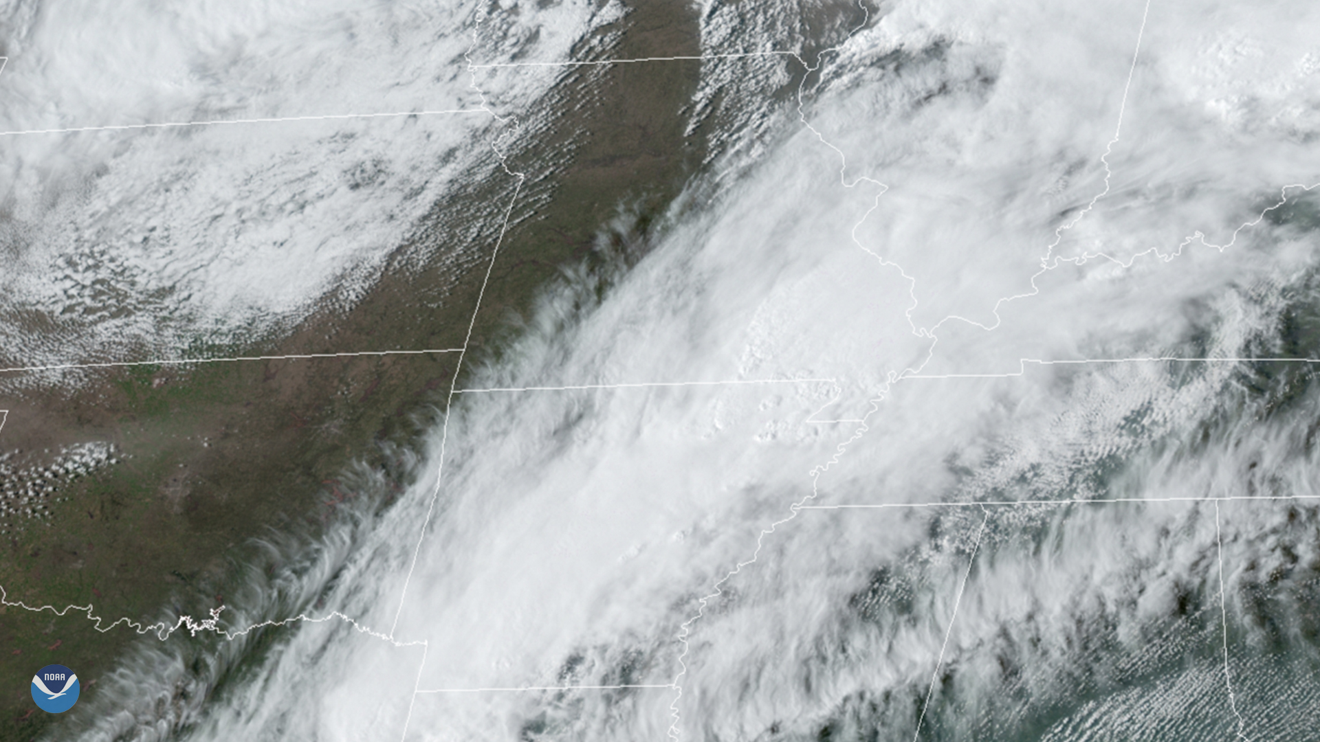
March 30, 2020 On March 28, 2020, GOES-East tracked supercell thunderstorms in Arkansas, which later produced several tornadoes. This included an EF3…
Satellite Snapshots
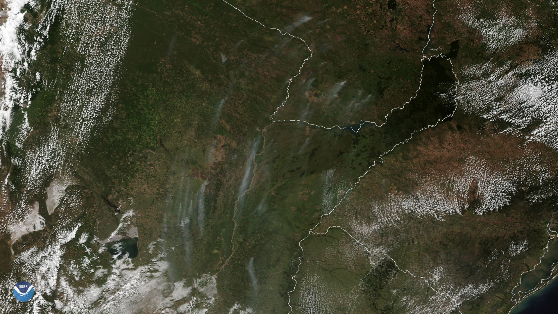
On March 24, 2020, NOAA’s GOES-East satellite zoomed in on wispy smoke plumes from fires burning in Argentina and Paraguay. These vast…
Satellite Snapshots
On March 24, 2020, NOAA’s GOES-East satellite zoomed in on wispy smoke plumes from fires burning in Argentina and Paraguay. These vast…
Satellite Snapshots
March 24, 2020 On March 24, 2020, the GOES-East satellite viewed the Yucatán Peninsula as prescribed fires peppered its northwestern coast. Its…
Satellite Snapshots
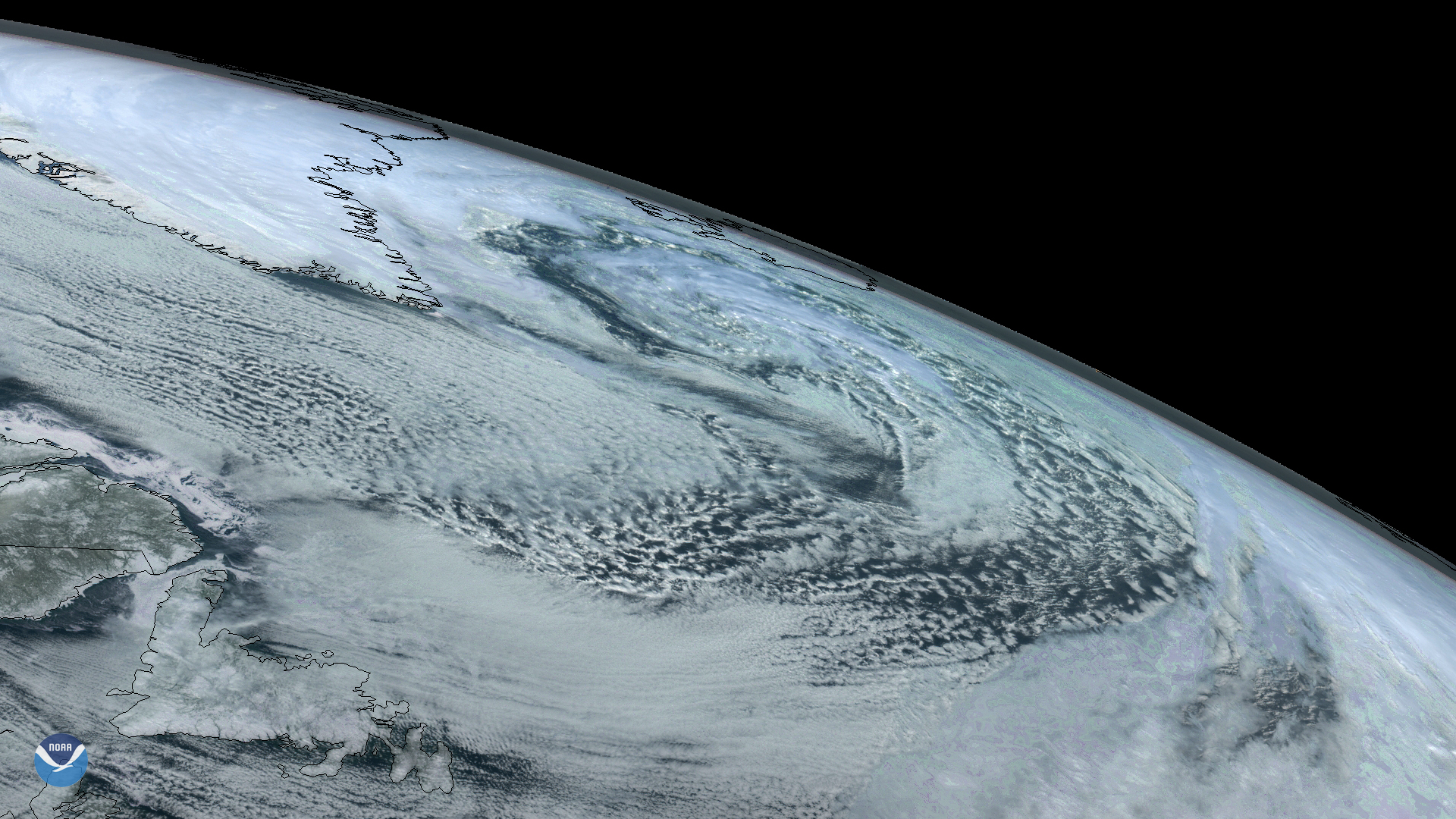
On Sunday, March 22, 2020, the GOES East satellite captured imagery of a large extratropical mid-latitude cyclone in the North…
Satellite Snapshots
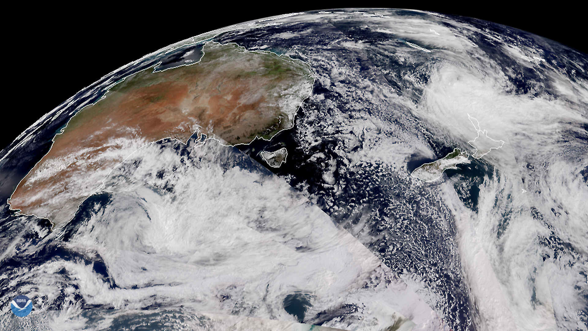
March 20, 2020 On March 18, 2020, the Suomi-NPP (or SNPP) and NOAA-20 satellites displayed a segment of the Southern Hemisphere, showing the ever…
Satellite Snapshots
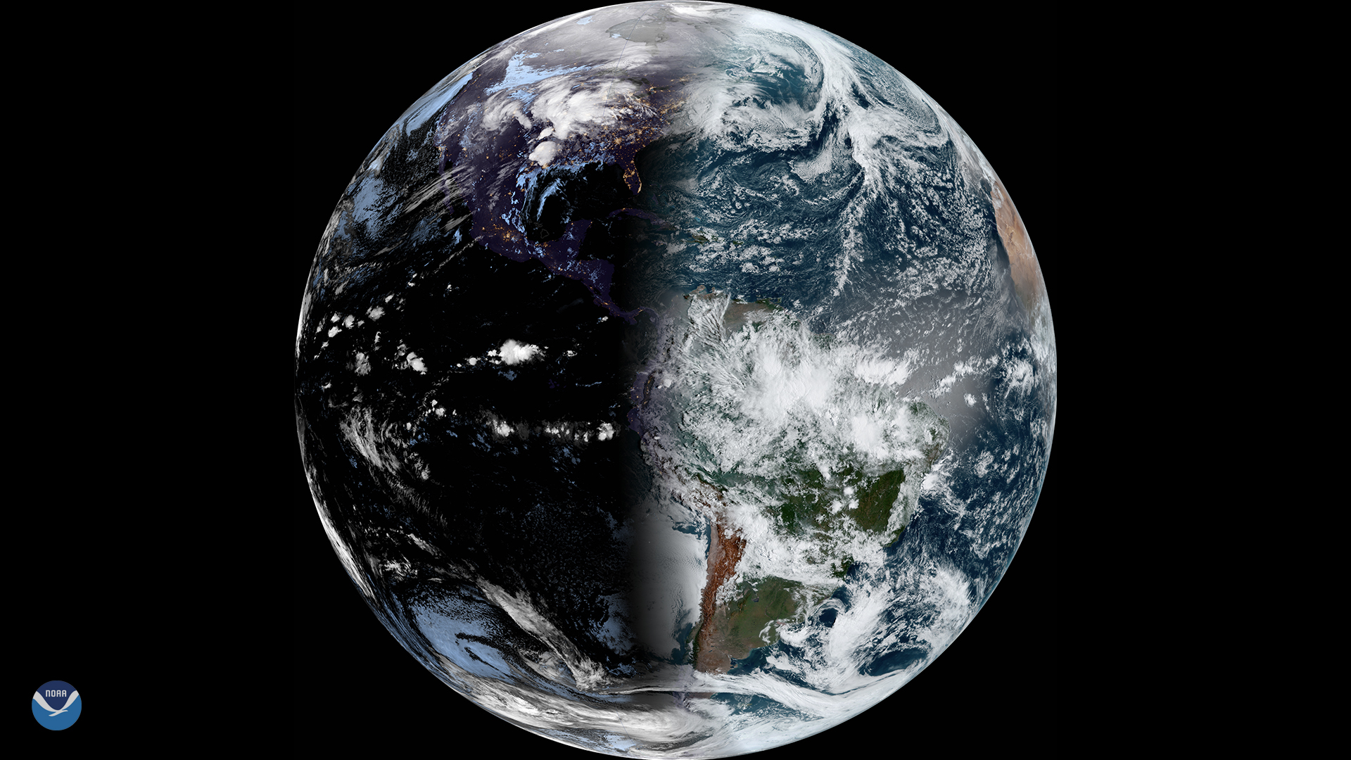
This year, the vernal equinox occurs on March 19, 2020. The last time it occurred this early was in 1896.