
Satellite Snapshots
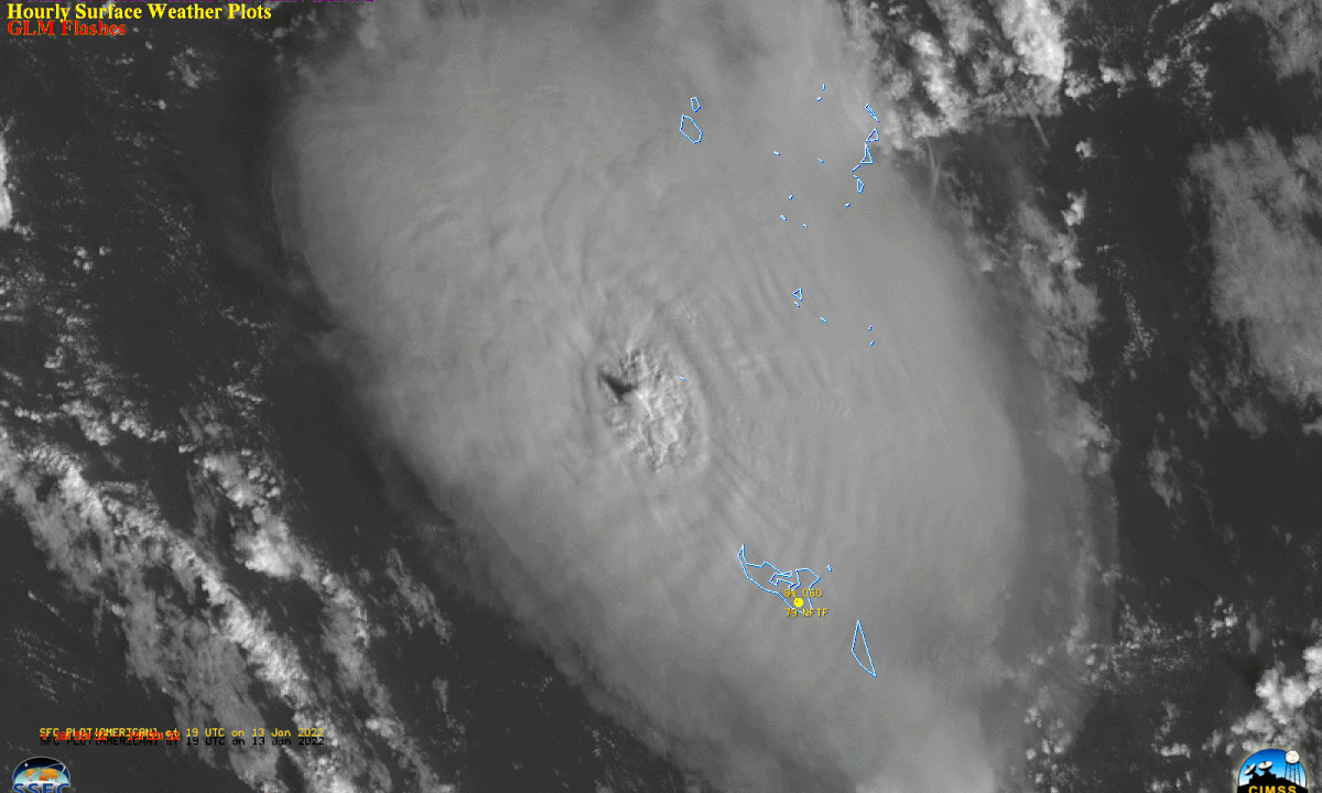
On Jan. 13, 2022, NOAA’s GOES West satellite captured another explosive eruption of the Hunga Tonga-Hunga Ha'apai volcano, located in the South Pacifi
Satellite Snapshots
On the afternoon of Thursday, Dec. 30, the GOES East satellite captured GeoColor imagery of the rising smoke plume from the quick-moving Marshall fir
Feature Story
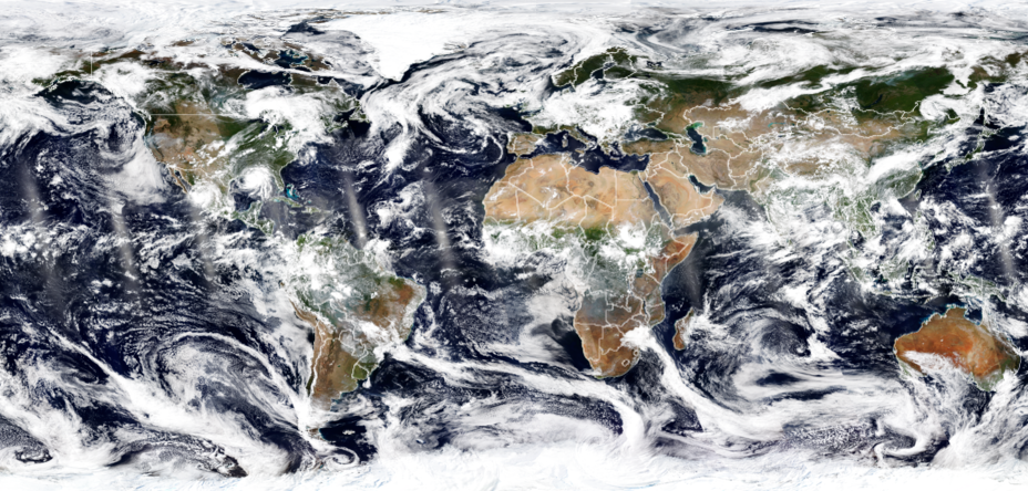
With their lofty view from space, NOAA satellites see the awe-inspiring beauty and the sobering destruction Mother Nature creates across our dynamic p
Satellite Snapshots

Imagery from the GOES West (GOES-17) satellite shows a large smoke plume from the Alisal Fire in California, exacerbated by strong winds.
Satellite Snapshots
NOAA’s GOES East satellite had its eye on Minnesota’s Greenwood Fire on August 23, as the wildfire nearly doubled in size.
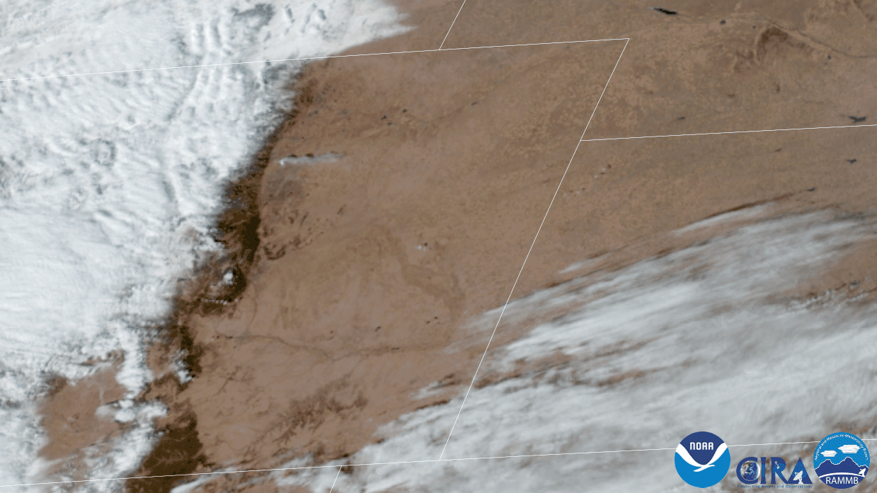
Satellite Snapshots
The satellite imagery above, over the course of 11 hours from August 9-10, is from the Himawari-8 satellite. It shows vast stretches of land.
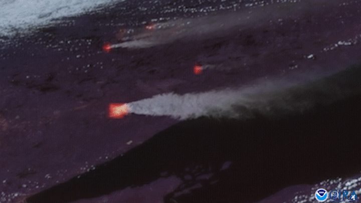
Earth from Orbit

As wildfires continue to rage in North America, the Dixie Fire became the second largest fire in California history.
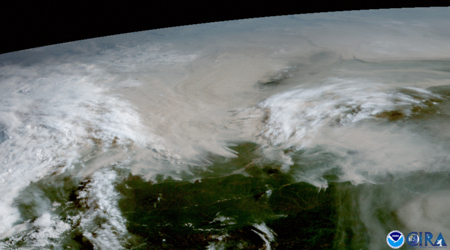
Earth from Orbit
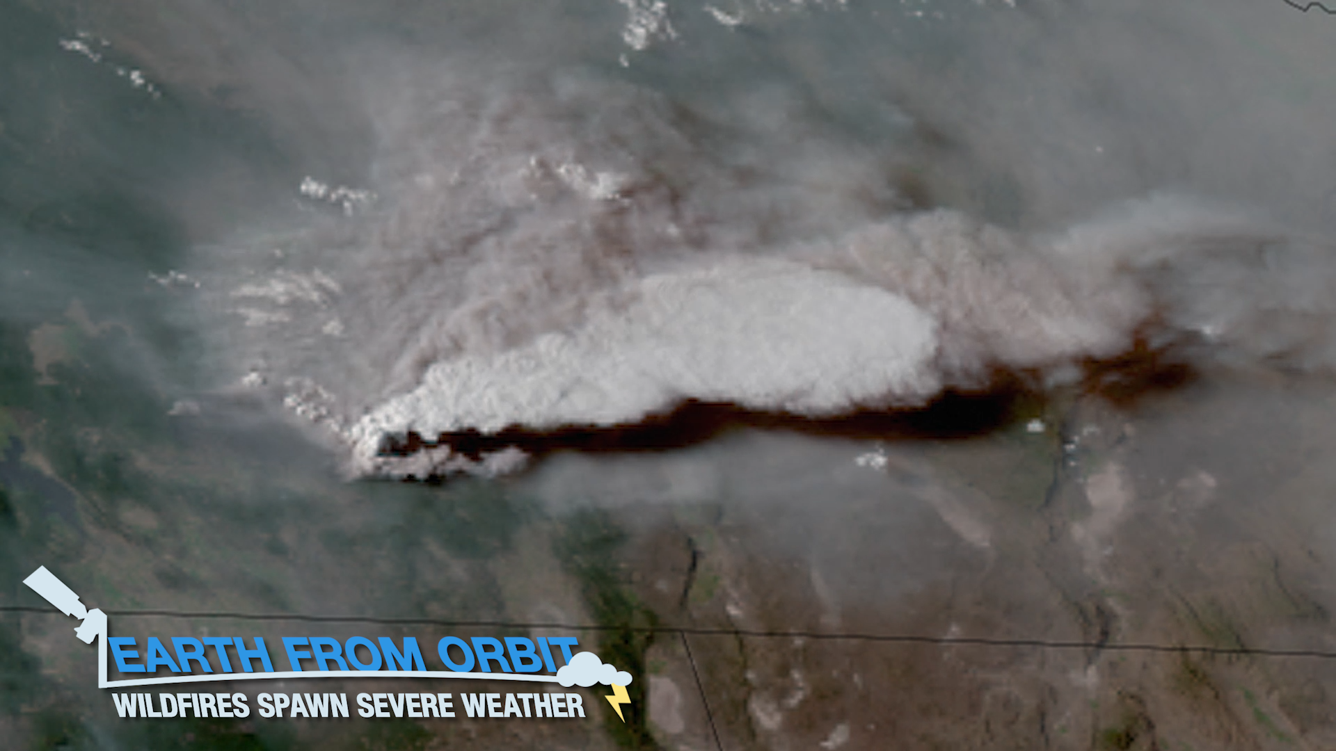
Wildfires continue to rage in the western U.S. Some of the most intense fires have generated their own weather, with thunderstorms, lightning, and eve