
Satellite Snapshots
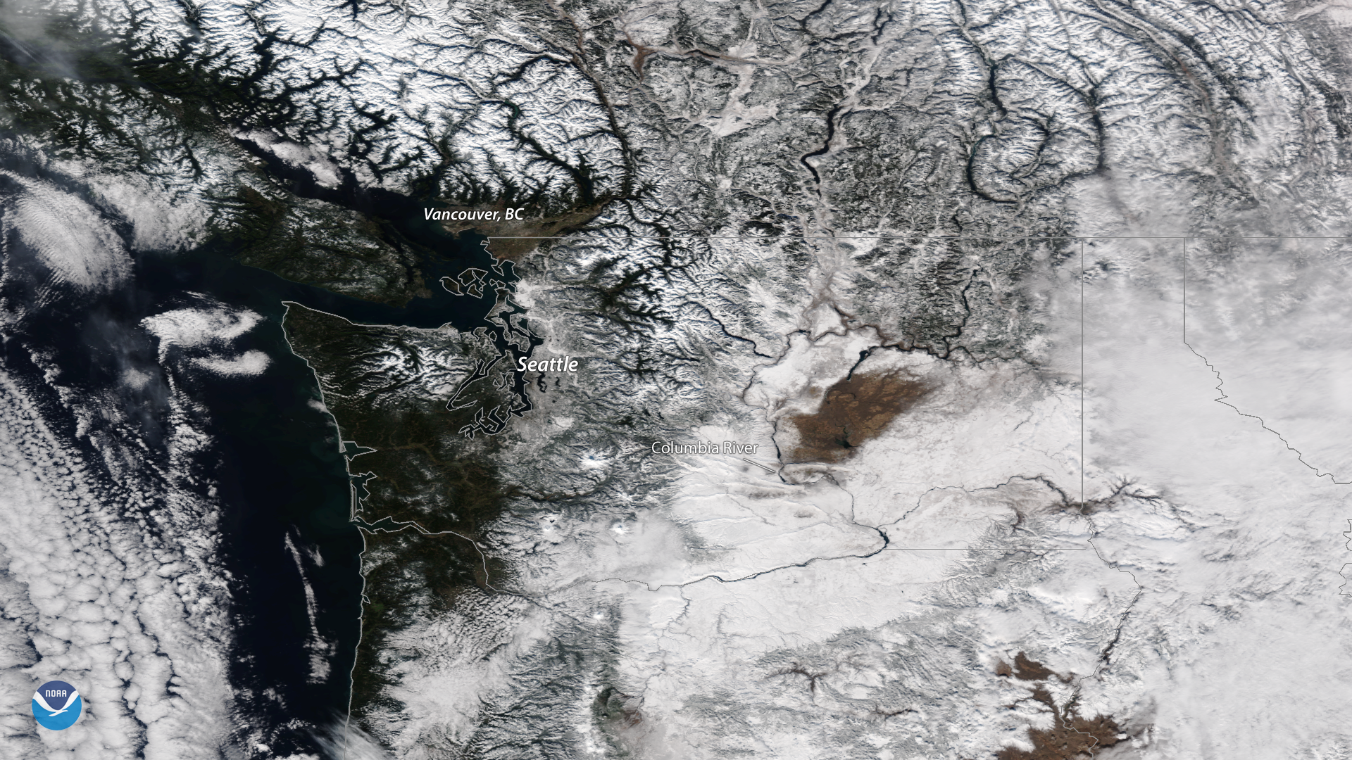
This spectacular image, seen by the NOAA-20 satellite on Feb. 6, 2019, reveals a wintry landscape in much of the Pacific Northwest.
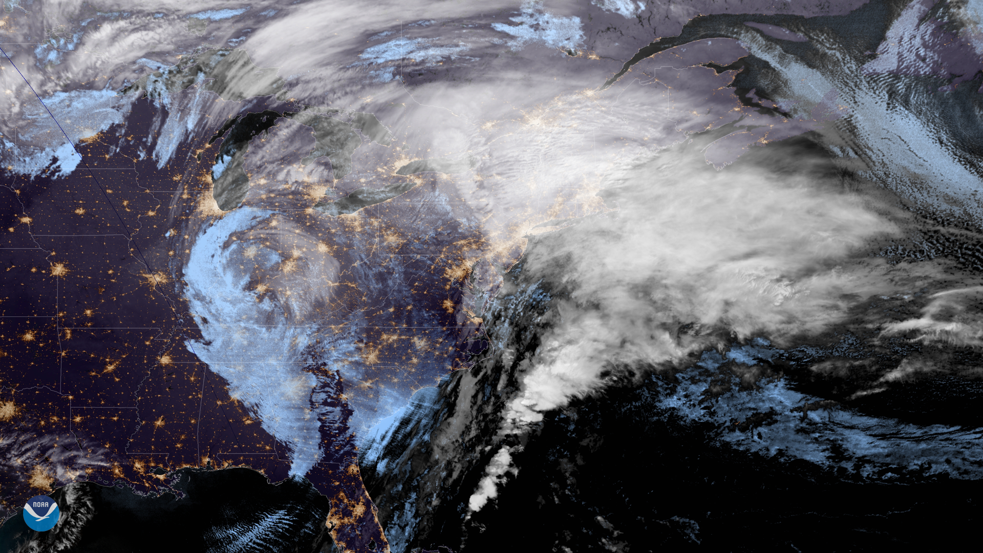
Satellite Snapshots
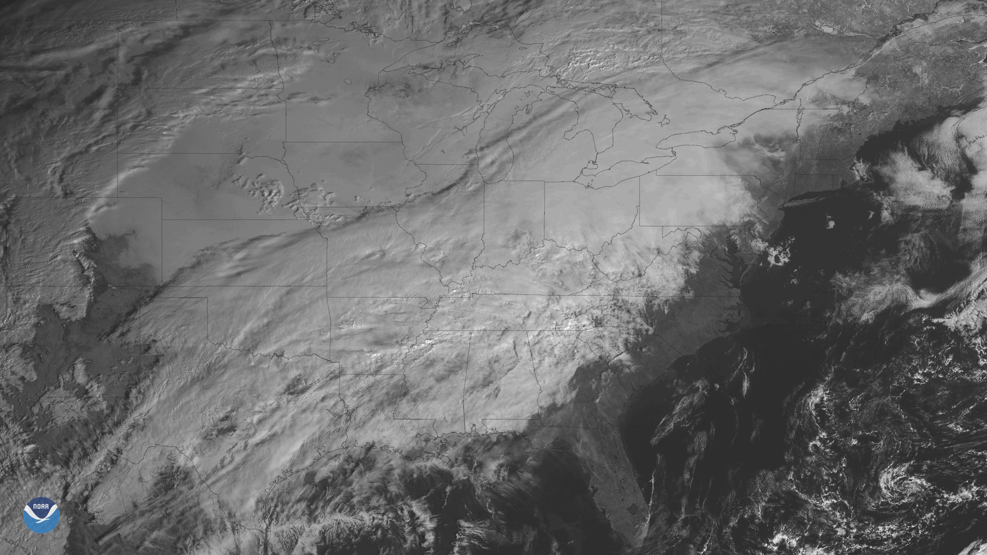
The GOES East satellite is watching a developing storm system bringing wintry weather to many states east of the Rockies.
Satellite Snapshots
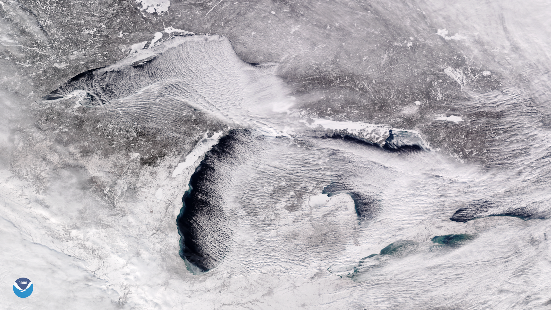
Bitter cold, arctic air is pouring into the Midwest and Great Lakes this week, and is expected to bring a prolonged period of…
Feature Story

Around this time of year, we hear a lot about Santa and his elves working hard at the North Pole to make sure all the toys…
Satellite Snapshots
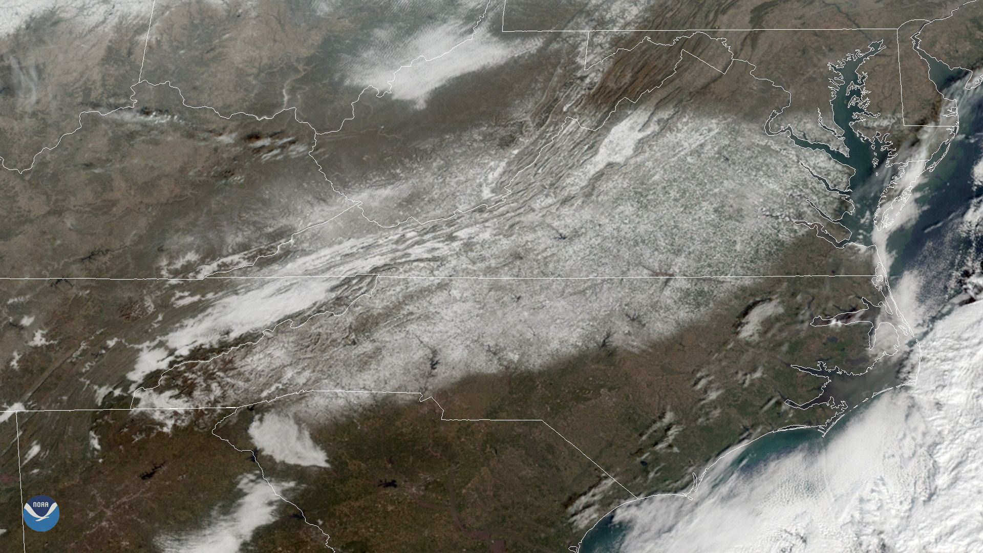
GOES East captured heavy snow cover over the Mid-Atlantic region on Dec. 11, 2018.
Feature Story

At first glance, satellite imagery of the Earth can make it look like a giant blue and green marble with swirls of white. For…
Satellite Snapshots
NOAA's GOES East satellite captured this geocolor enhanced image of an early season winter storm moving through the Northeast on…
Feature Story
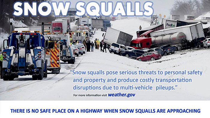
If you have a smartphone, you’ve likely received a severe weather alert warning of an impending flash flooding event, a…