
Satellite Snapshots
NOAA satellites are continuing to monitor the blazing wildfires across the western U.S. and Canada.
Earth from Orbit

Wildfire activity amid extreme heat and drought has resulted in smoke blanketing much of the United States and Canada.
Satellite Snapshots
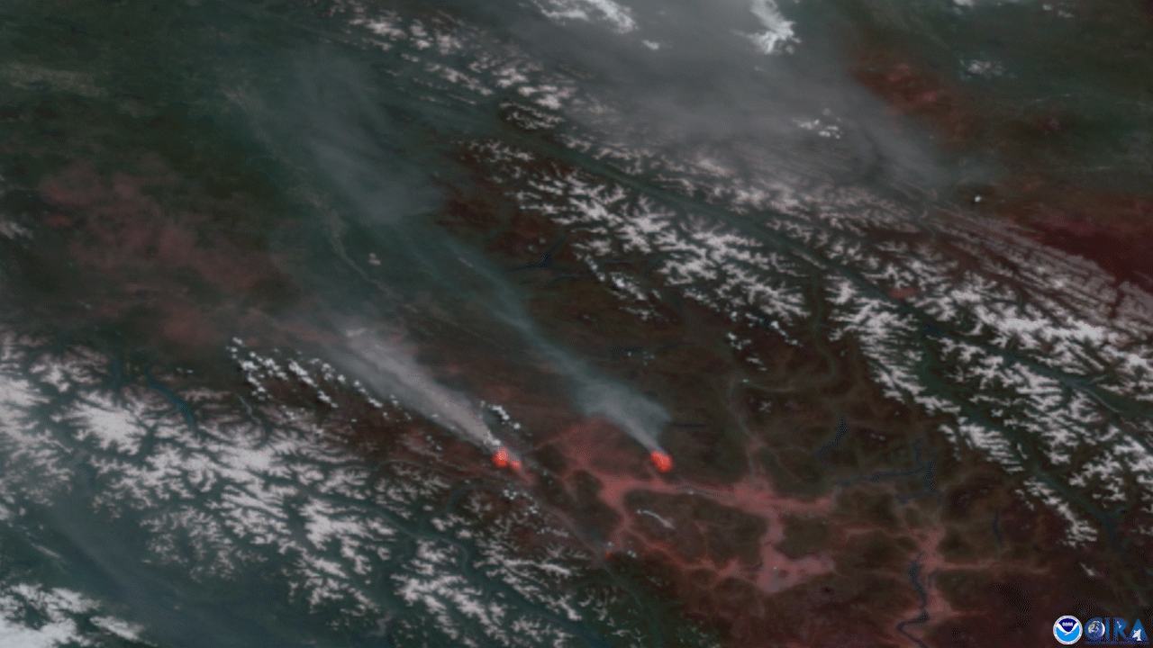
North American summer wildfire season has been exploding across the West
Earth from Orbit
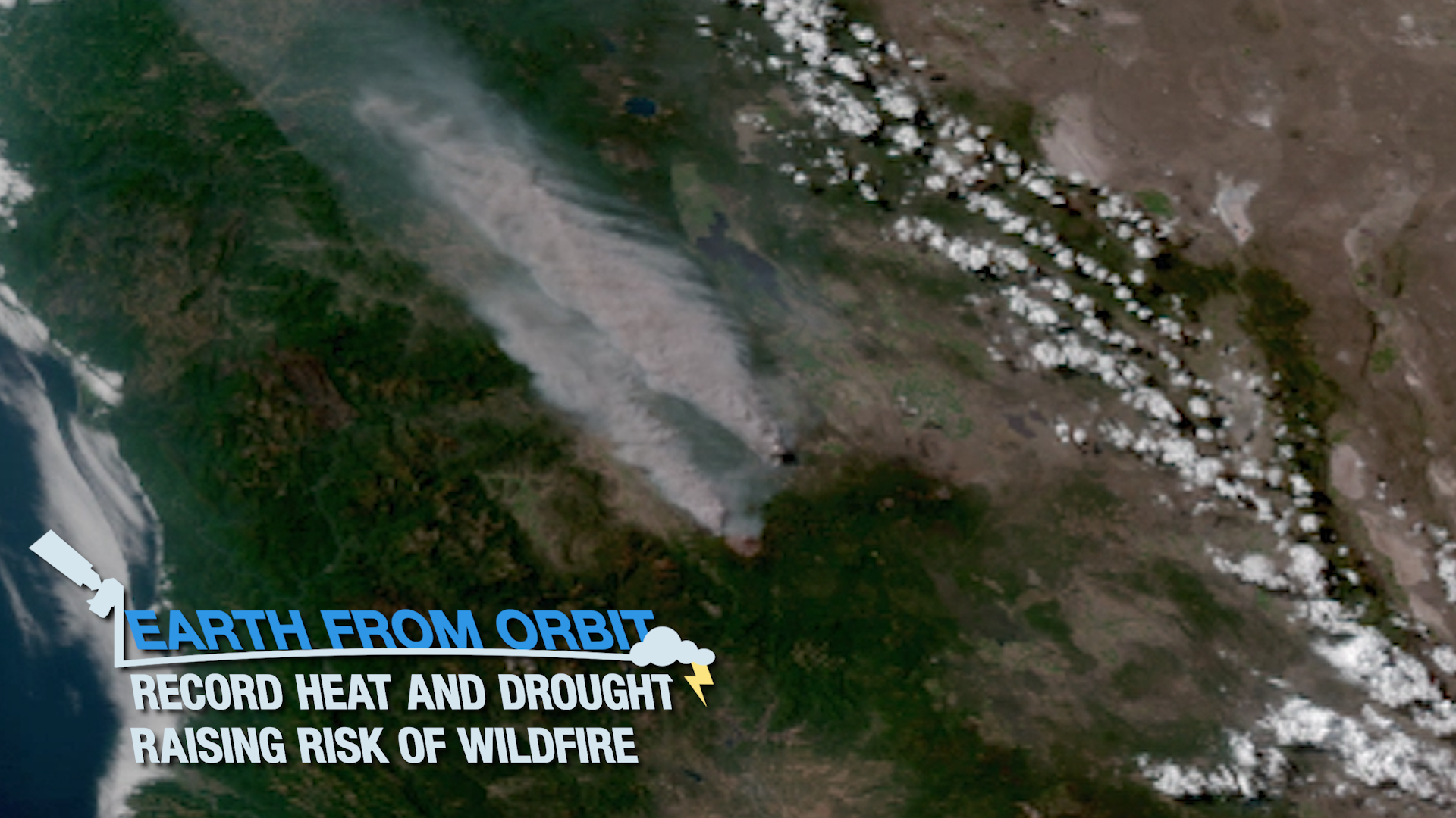
The western U.S. has seen record-breaking high temperatures over the past week as a heat dome, or mass of warm air, blankets the Pacific Northwest.
Earth from Orbit
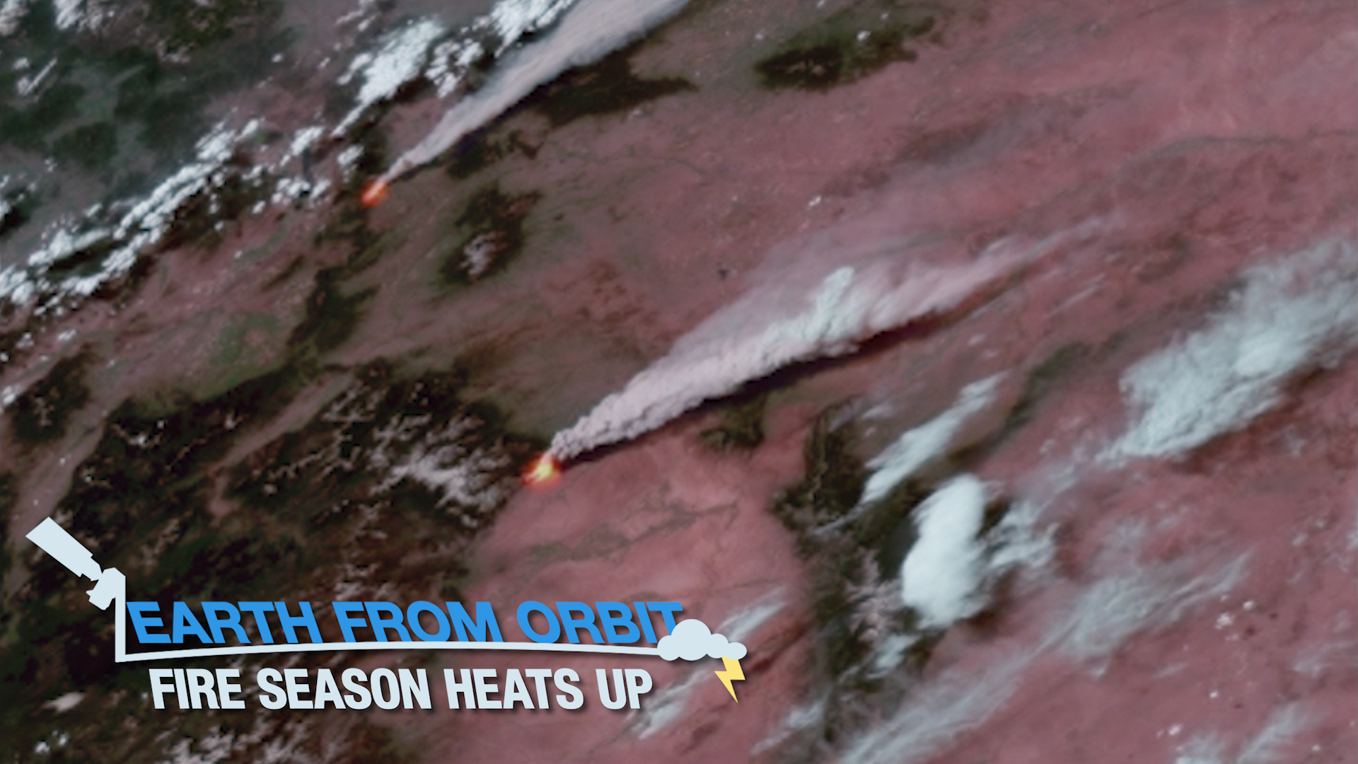
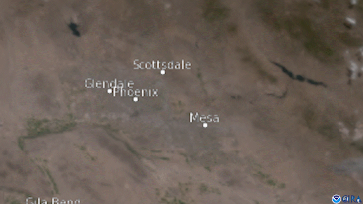
Fire weather is heating up across the western United States, exacerbated by an intense heatwave and ongoing severe drought.
Satellite Snapshots
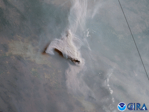
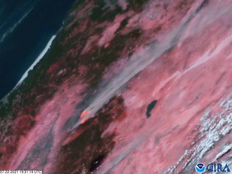
GOES West captured this GeoColor imagery of brownish-gray smoke plumes rising from the Telegraph and Mescal fires in southeastern Arizona.
Satellite Snapshots
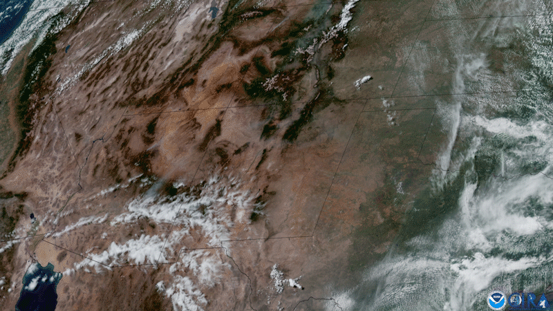
Wildfire season is cranking up, and smoke was filling the western skies of the United States this week.
Satellite Snapshots
GOES West satellite captured GeoColor imagery of a large, dark plume of smoke emanating from a 6-alarm fire that consumed a recycling yard.