
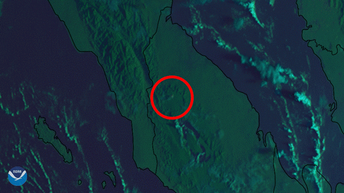
Satellite Snapshots
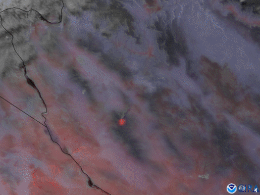
The GOES West satellite focused in on the Flag Fire in western Arizona using a combination of visible imagery and Fire Temperature RGB.
Earth from Orbit
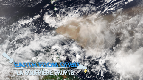
On the morning of April 9, 2021, La Soufrière volcano on the Caribbean island of Saint Vincent began erupting, spewing ash at least 25,000 feet in the
Earth from Orbit
On the morning of April 9, 2021, La Soufrière volcano on the Caribbean island of Saint Vincent began erupting, spewing ash at least 25,000 feet in the
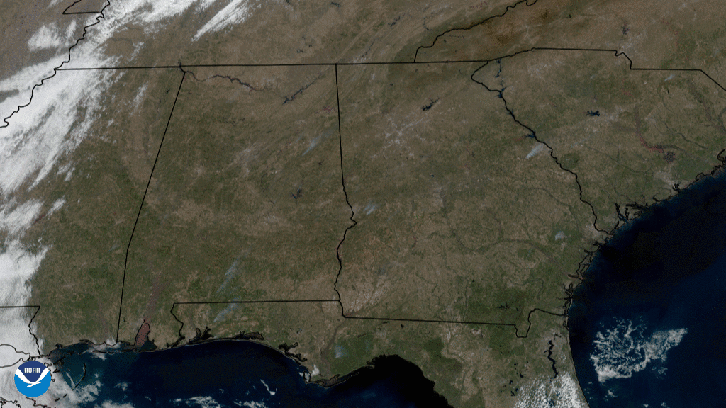
Satellite Snapshots
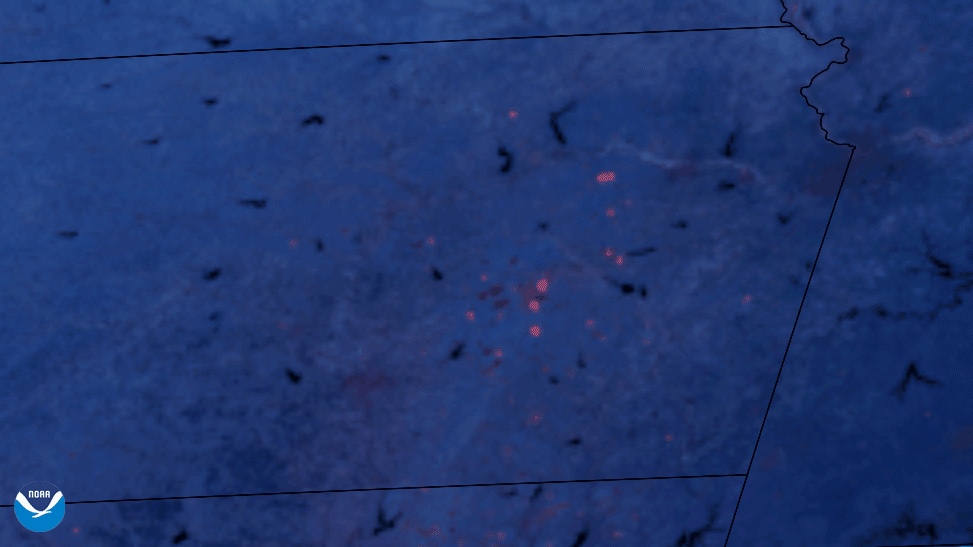
NOAA’s GOES East satellite detected the heat from prescribed burns across Kansas and Oklahoma in this Fire…
Earth from Orbit
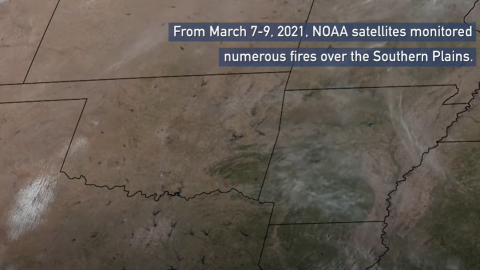
NOAA satellites monitored numerous fires over the Southern Plains, the majority of which were likely prescribed burns.
Satellite Snapshots
Japan’s Himawari-8 satellite saw a series of eruptions from Mt. Sinabung, in Sumatra, Indonesia.
Satellite Snapshots
On Feb. 24, 2021, the GOES East satellite captured GeoColor imagery of grayish smoke plumes rising into the atmosphere across the southeastern U.S.
Earth from Orbit

NOAA satellites monitored a large plume of dust from the Sahara Desert as it traveled off the west coast of North Africa, across the Atlantic Ocean.