
Announcement
NASA, on behalf of the National Oceanic and Atmospheric Administration (NOAA), has selected BAE Systems (formerly known as Ball Aerospace & Technologies Corporation) of Boulder, Colorado, to develop an instrument to analyze ocean data as part of…
Satellite Snapshots
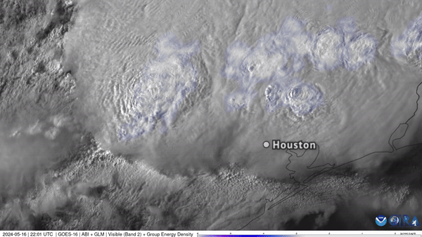
NOAA’s GOES East captured Texas storms from above in this visible imagery, which also shows frequent lighting observed with the satellite’s Geostationary Lightning Mapper (GLM) instrument.
Satellite Snapshots
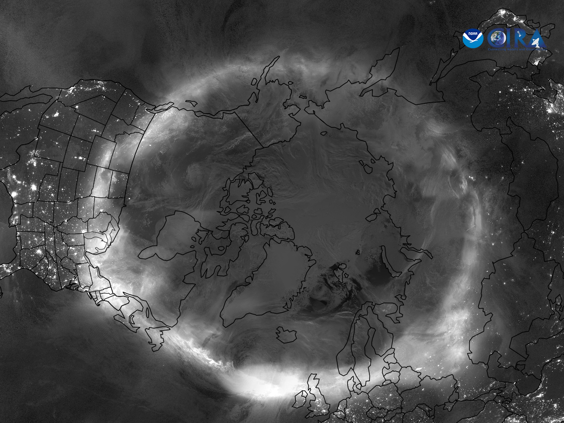
NOAA’s JPSS Program satellites captured imagery of the stunning auroras that were visible in locations across the globe on May 11, 2024.
Satellite Snapshots
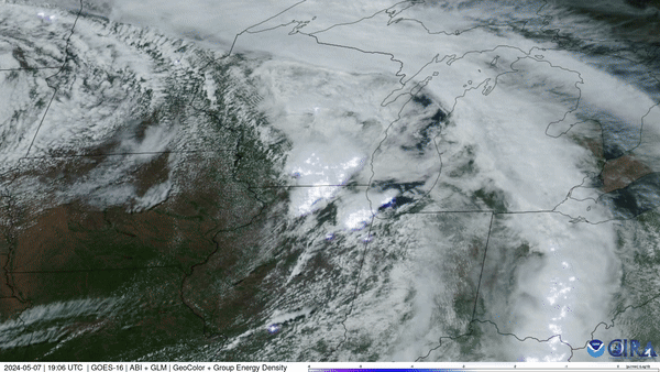
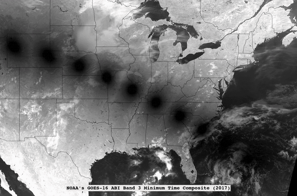
NOAA’s GOES East (GOES-16) satellite watched severe thunderstorms push across the Midwest that spawned several damaging tornadoes.
Satellite Snapshots
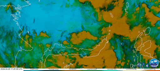
The Himawari-9 satellite, operated by our partners at the Japan Meteorological Agency, monitored sulfur dioxide erupting from the Ruang volcano in Indonesia, then expanding and diffusing throughout the surrounding atmosphere from April 17–18, 2024.
Satellite Snapshots
Composite of 2017 and 2024 total solar eclipses
Announcement
NOAA Works with Industry to Explore Mitigation of Data Corrupting Radio Frequency Emissions
Announcement
NOAA Awards $3.46 Million Contracts for Ground Processing Demonstrations (GPD)