
Satellite Snapshots
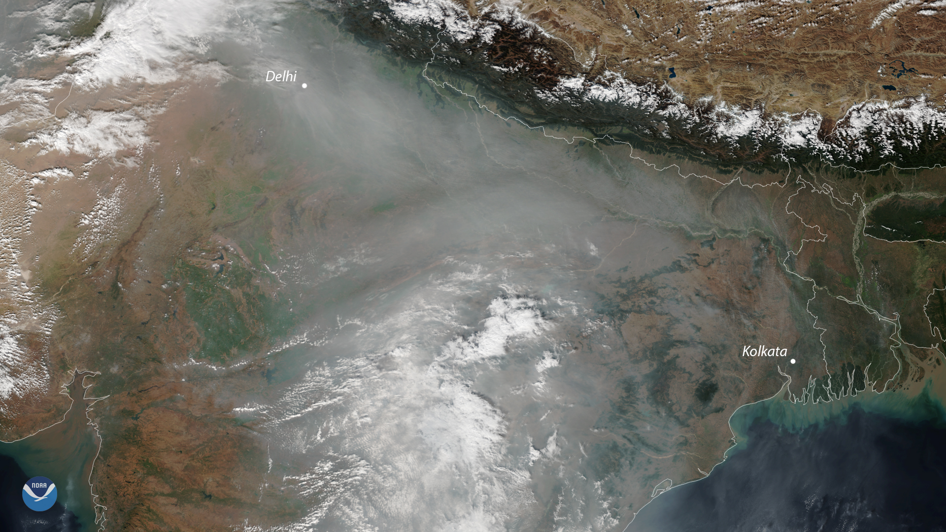
A cloud of unhealthy air pollution shrouded the skies of northern India again this week. It's a common sight in satellite images…
Satellite Snapshots
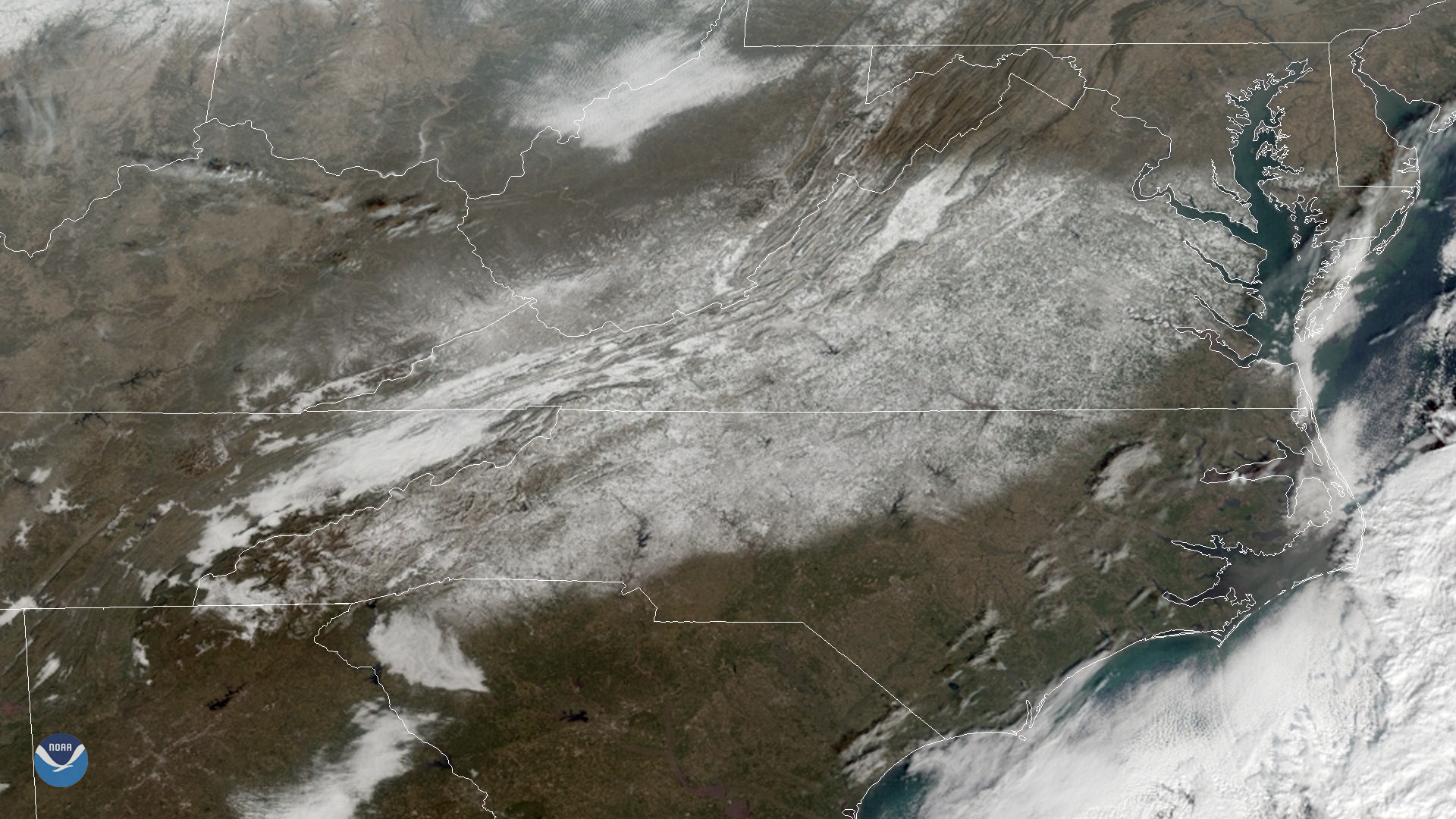
GOES East captured heavy snow cover over the Mid-Atlantic region on Dec. 11, 2018.
Satellite Snapshots
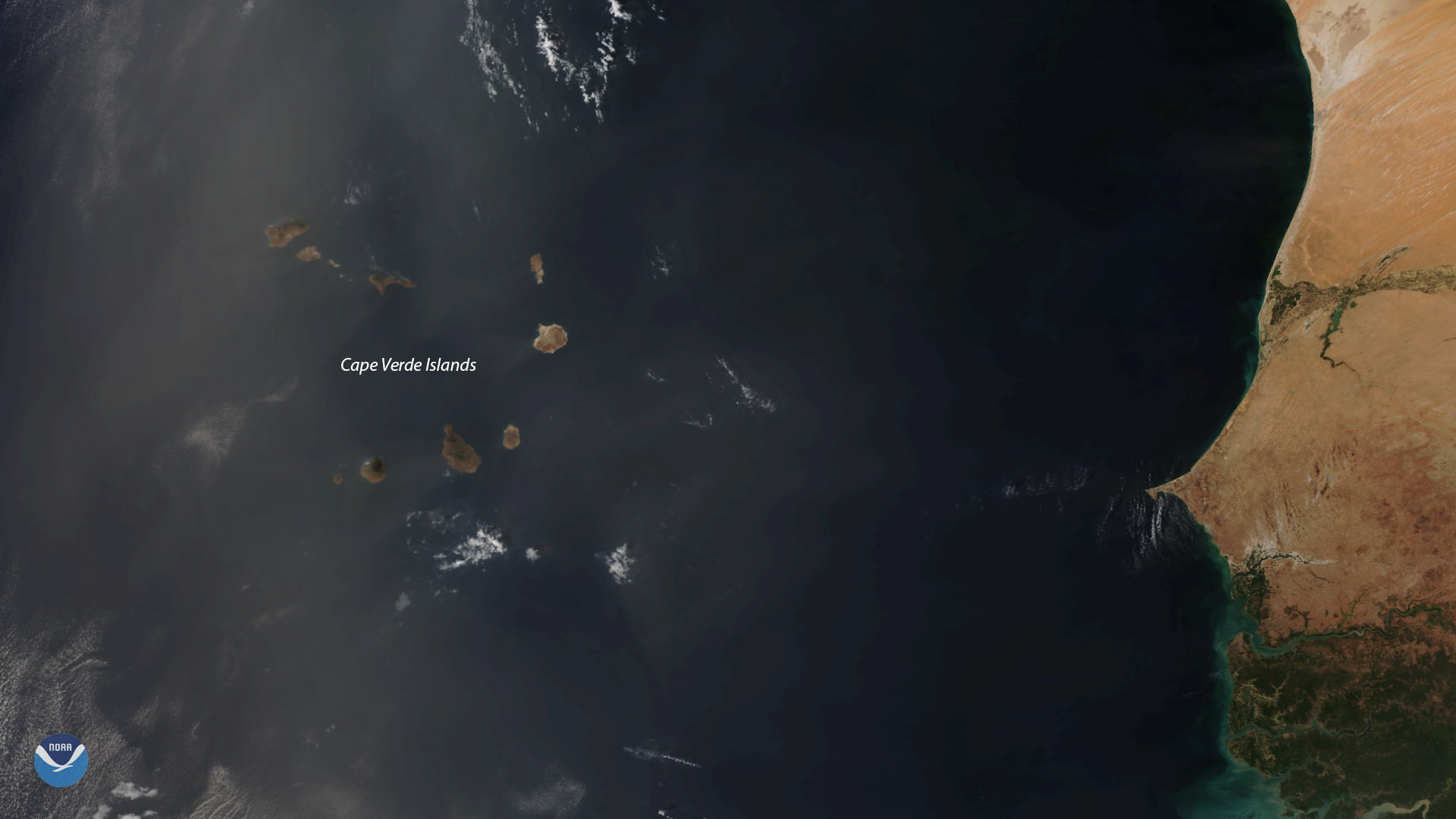
The NOAA-20 satellite viewed dust from the Sahara Desert be ingcarried by strong winds over the Cape Verde islands on Dec. 9, 2018.
Satellite Snapshots

December marks the start of meteorological summer in Earth's Southern Hemisphere. As the sun's direct rays shine south of the…
Feature Story

At first glance, satellite imagery of the Earth can make it look like a giant blue and green marble with swirls of white. For…
Feature Story

A recent software error on the GOES-17 Advanced Baseline Imager will delay the satellite from becoming operational until…
Satellite Snapshots

The NOAA-20 satellite zoomed in on the jagged snowy peaks of several mountain ranges in Central Asia.
Satellite Snapshots
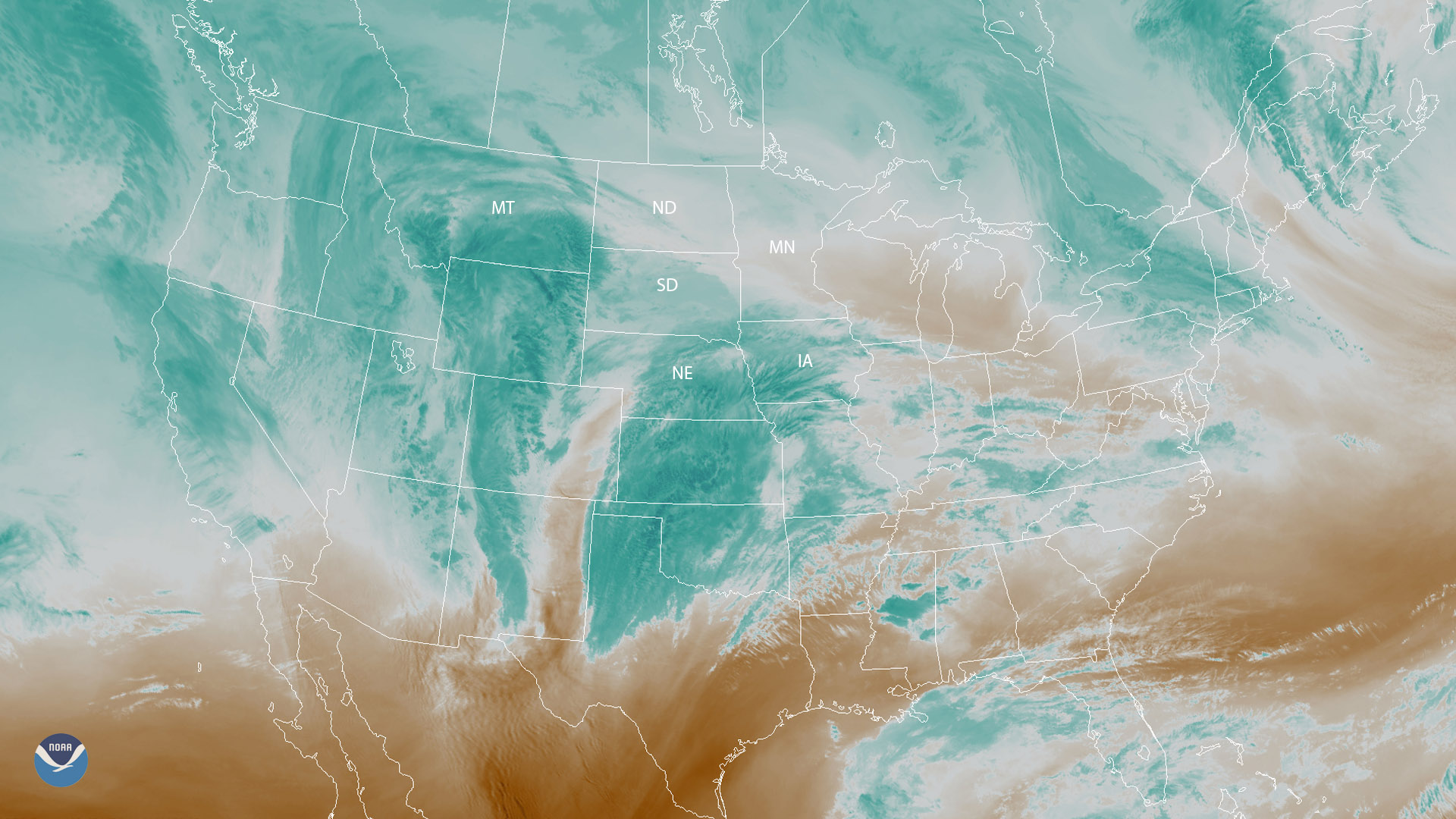
Water vapor imagery from GOES East shows wintry weather approaching parts of the Plains and upper Midwest on Nov. 30, 2018.