
Satellite Snapshots

This GOES East image shows a sprawling storm system across large portions of the Midwest, South, and Eastern U.S.
Satellite Snapshots

NOAA-20 imagery shows dust blowing from Pakistan and Iran over the Gulf of Oman and the Arabian Sea.
Feature Story
If you have a smartphone, you’ve likely received a severe weather alert warning of an impending flash flooding event, a…
Feature Story
If you have a smartphone, you’ve likely received a severe weather alert warning of an impending flash flooding event, a…
Satellite Snapshots
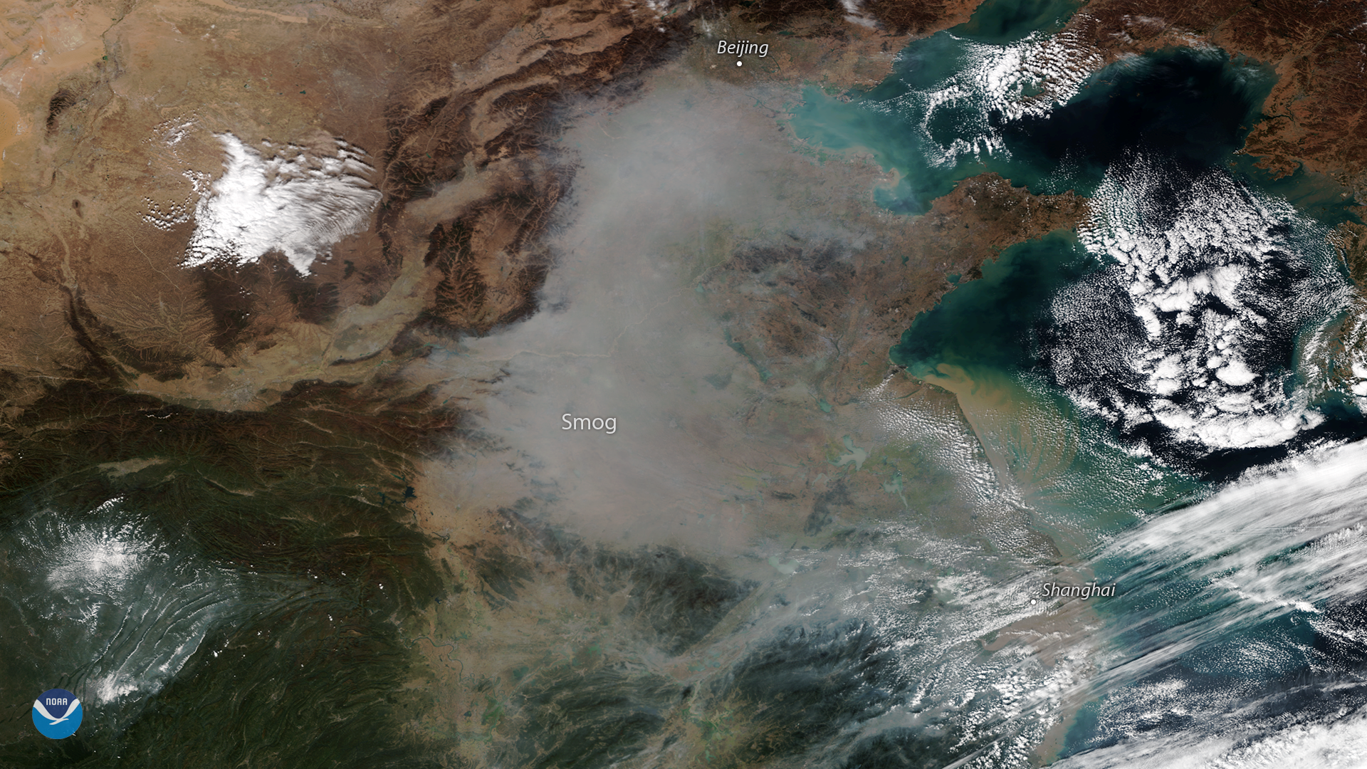
A plume of smog appears over northeastern China in this true-color image seen from the NOAA-20 satellite on October 31, 2018.
Feature Story
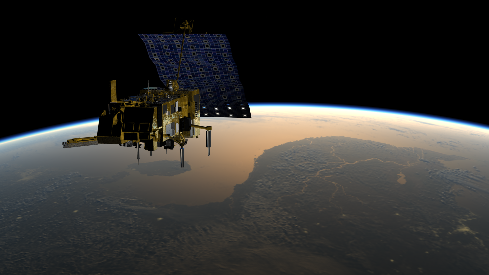
A new European weather satellite launching in November 2018 will provide the next generation of data we depend on to predict…
Satellite Snapshots

Super Typhoon Yutu is headed for the Philippines after battering parts of the Northern Mariana Islands in the Pacific Ocean.
Feature Story
NOAA’s GOES-17 satellite is getting ready to move to its new vantage point at 137.2 degrees west longitude, allowing us to…