
Satellite Snapshots
NOAA’s GOES East satellite captured dust from the Saharan Air Layer (SAL) as it wafted its way over the Atlantic Ocean and Canary…
Satellite Snapshots
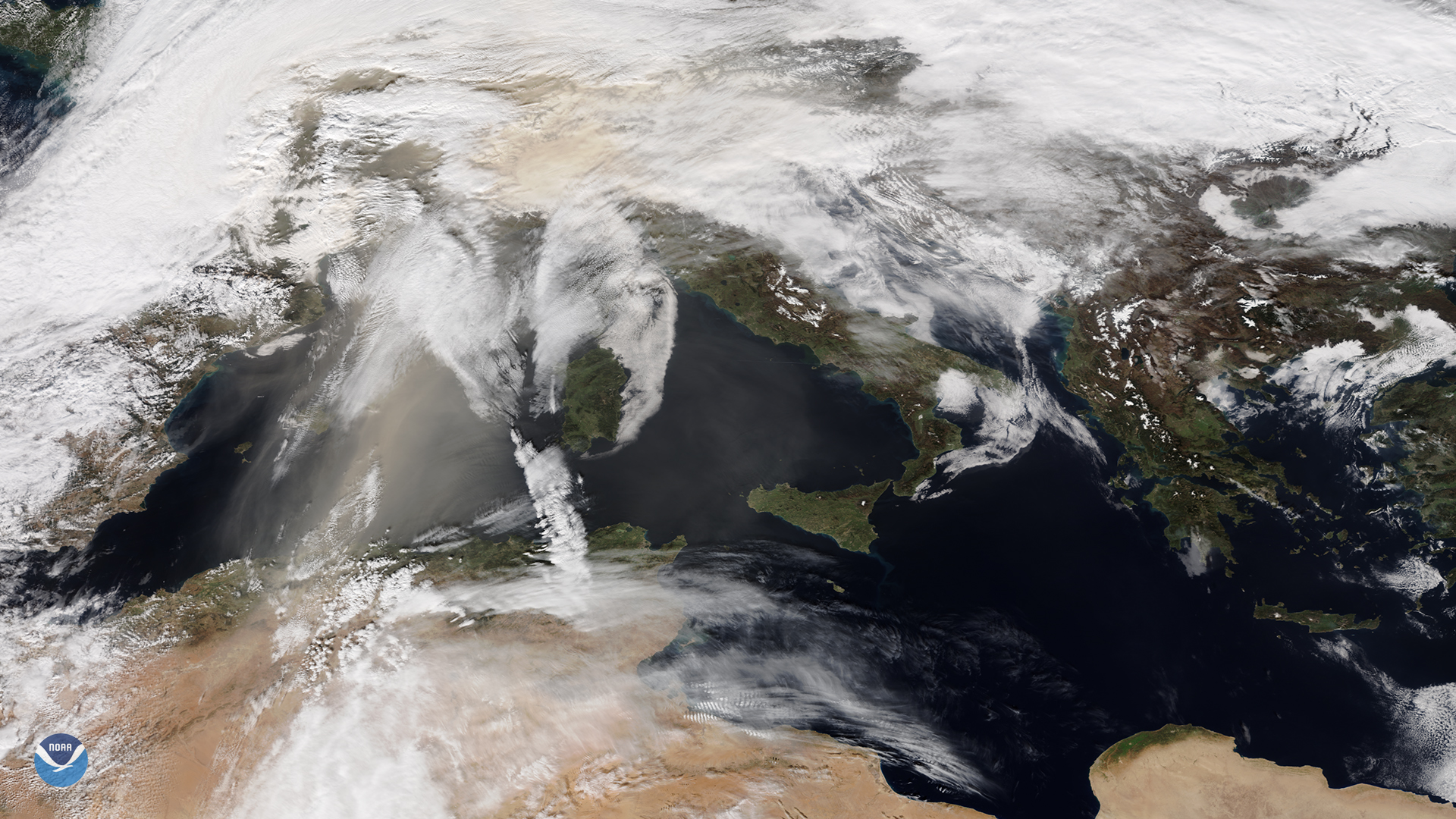
NOAA-20 catches orange skies and dusty ski slopes plagued Europe during the first weekend of February
Feature Story
Wildfires burned more than a million acres in Northern California.
Satellite Snapshots
GOES East satellite see a dust storm blow from the northern coast of Mari Menuco Lake, Argentina,
Satellite Snapshots
On Nov. 5, 2020, NOAA’s GOES-East satellite focused on a thick blanket of smoke billowing over forests and wetlands in central South America.
Satellite Snapshots
On October 14, 2020, the GOES-East satellite viewed the Cameron Peak Fire near Ft. Collins, CO, which has been burning for two…
Satellite Snapshots
On Oct. 11, 2020, NOAA’s GOES-East satellite watched a huge wall of dust blow more than 300 miles from eastern Colorado to Nebraska,…
Satellite Snapshots
GOES-West captured this dynamic GeoColor imagery of North America, where wildfires have been ravaging…