
Feature Story
This short movie of the sun’s rotation from March 2021, one-million-degree solar plasma in action
Feature Story
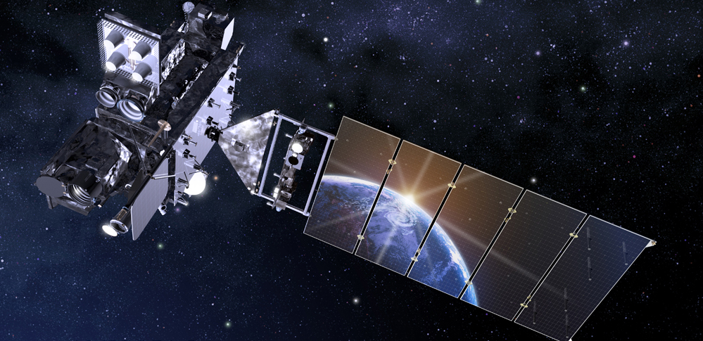
This is an introduction to NOAA's GOES-R Series Satellites - including GOES-R GOES-16 GOES East and GOES-S GOES-17 GOES West. The GOES-R Series, NOAA…
Satellite Snapshots
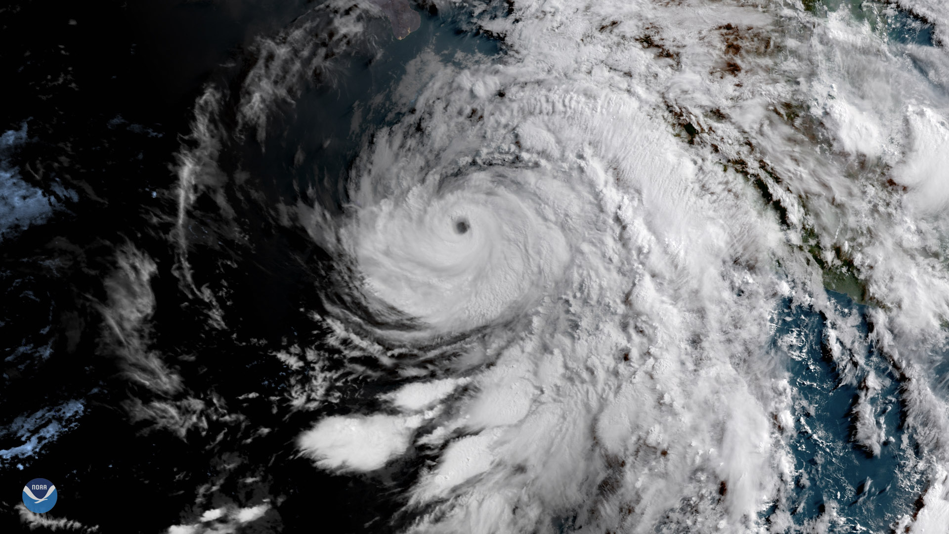
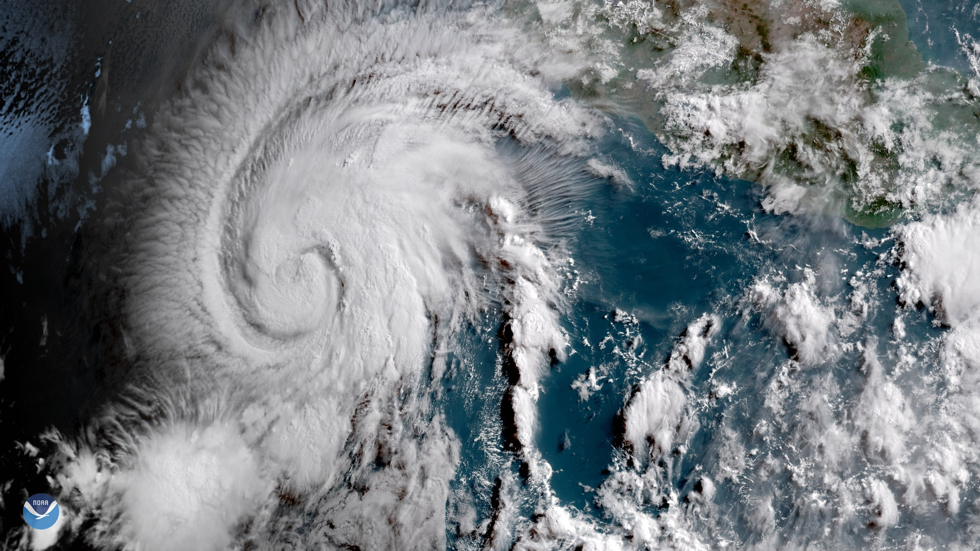
GOES East satellite captured the sun rising over Hurricane Bud in the eastern Pacific Ocean.
Satellite Snapshots
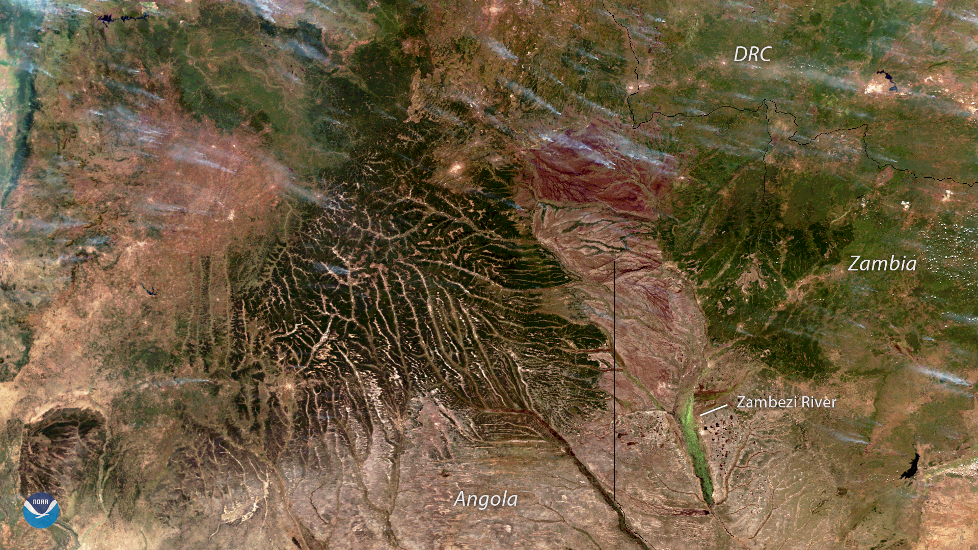
The NOAA-20 satellite captured this image of wildfires burning across Angola, Zambia and the Democratic Republic of the Congo on June 6…
Feature Story
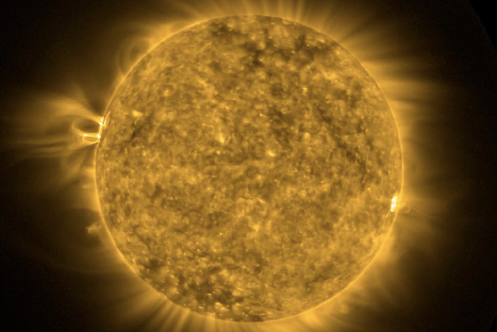
The GOES-17 Solar Ultraviolet Imager (SUVI) began taking observations of the sun on May 16, 2018.
Satellite Snapshots
GOES East captured this image of Tropical Storm Aletta in the eastern Pacific Ocean.
Feature Story

DATA FROM SATELLITE WILL IMPROVE WEATHER AND HAZARD FORECASTS OUT TO 7 DAYS
Feature Story
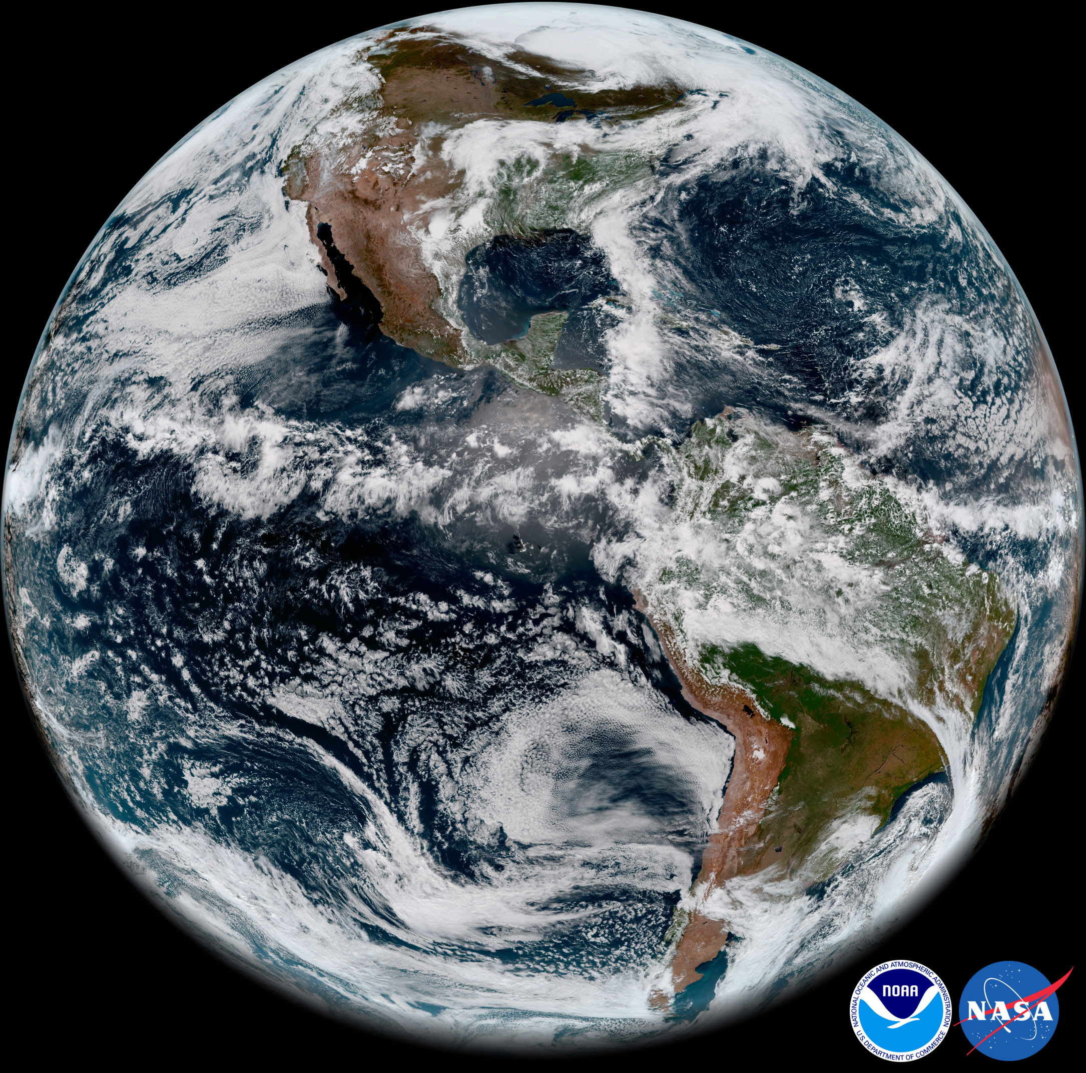
The first imagery from NOAA’s GOES-17 Advanced Baseline Imager (ABI) made its public debuttoday. GOES-17 took this stunning,…