
Feature Story
NOAA satellites help predict and detect early threats, track weather events as they happen, and map the aftermath, arming emergency managers and first responders with game-changing intel.
Announcement
On April 7, 2026, NOAA released a Request for Proposal (RFP) for a Wildfire Imagery Pilot to be conducted under its National Environmental Satellite, Data, and Information Services (NESDIS) Commercial Data Program (CDP).
Feature Story

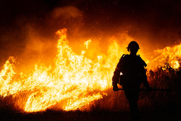
When the Morrill Fire ignited in Nebraska on March 12, 2026, NOAA’s Next Generation Fire System (NGFS) provided critical support.
Feature Story
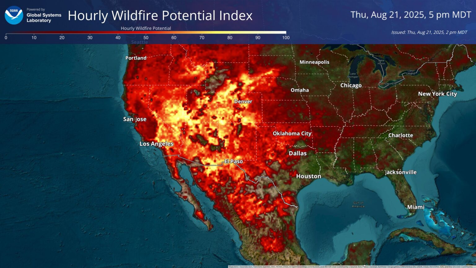
Wildfires burn millions of acres across the U.S. every year. According to the U.S. Department of the Interior Office of Policy Analysis, wildfires cost the U.S. approximately $424 billion annually, including firefighting resources, evacuations,…
Feature Story
It was a busy – and successful – year for NOAA’s Satellite and Information Service. We celebrated 50 years of NOAA’s GOES satellites in 2025.
Feature Story
It was a busy – and successful – year for NOAA’s Satellite and Information Service. We celebrated 50 years of NOAA’s GOES satellites in 2025.
Earth from Orbit
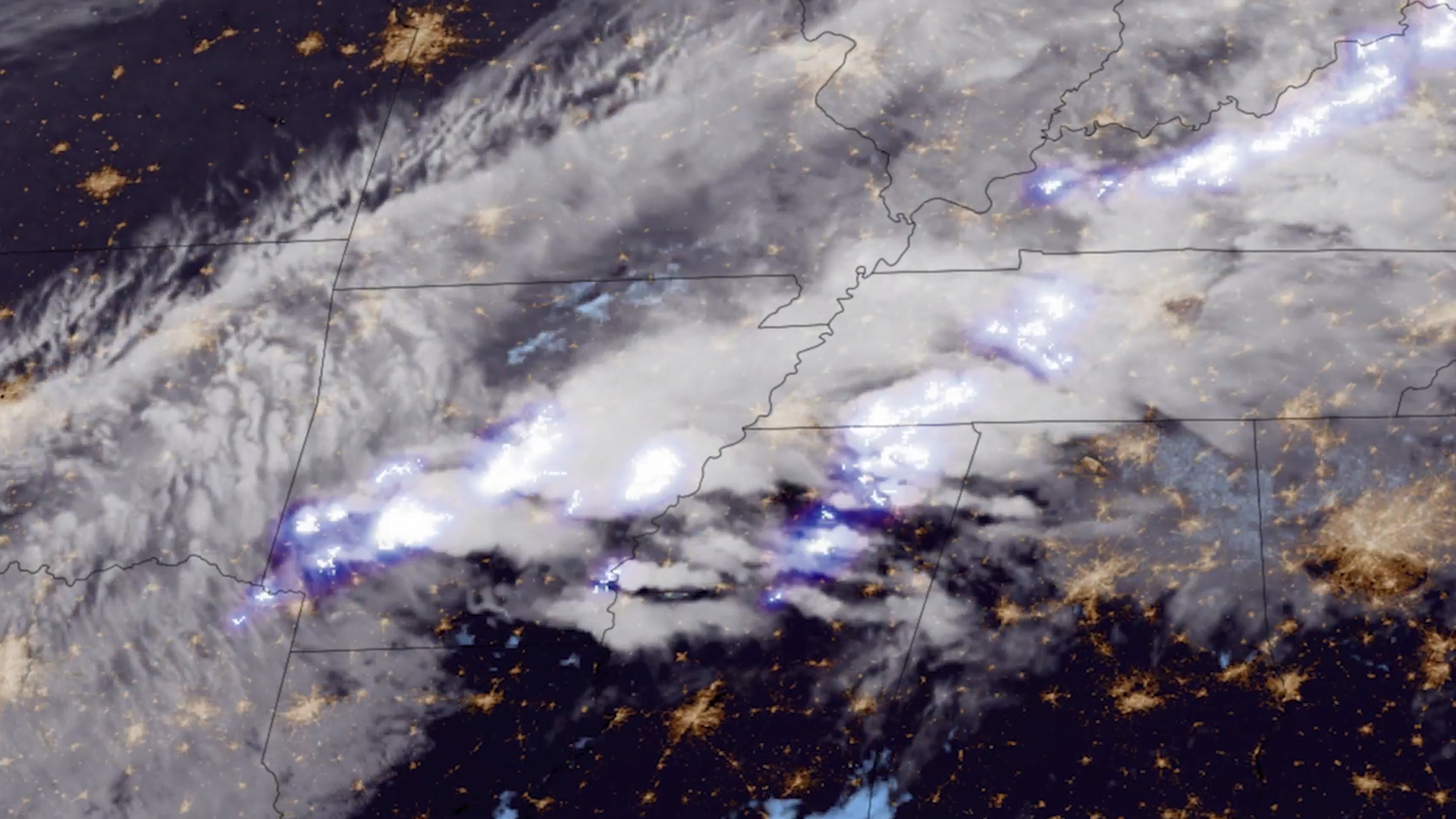
Lightning is a dangerous weather hazard that poses a significant threat to life and property. It can strike at any time, but is most common in the summer months.
Earth from Orbit

Since mid-May, NOAA satellites have been closely monitoring heat signatures and thick plumes of smoke (some stretching thousands of miles) from wildfires burning across Canada. Driven by heat, drought, and dry conditions, more than 160 fires kicked…