
NOAA’s latest generation of Geostationary Operational Environmental Satellites (GOES), known as the GOES-R Series, is the nation’s most advanced fleet of geostationary weather satellites.
Find out more about these satellites as well as the latest news below.
Introducing the GOES Satellites
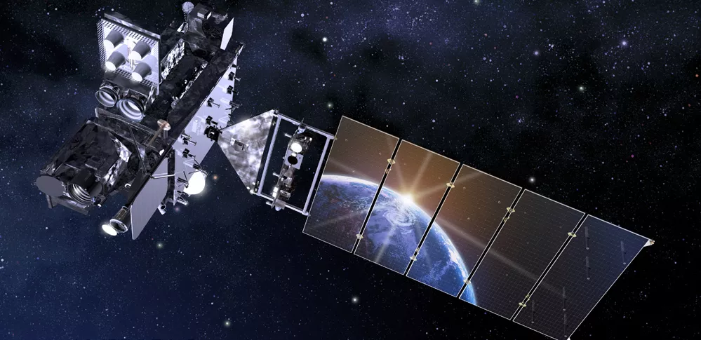
An introduction to NOAA's GOES-R Series Satellites - including GOES-R GOES-16 GOES East and GOES-S GOES-17 GOES West.
Introducing the GOES Series GOES 101
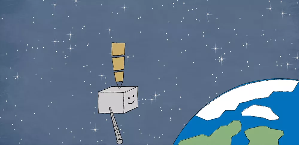
Satellite science is fun for kids too! From weather and hazards on Earth to search and rescue and bursts of energy from the sun, the GOES-R satellite will see it all from 22,000 miles above our planet!
Watch GOES-R Meet GOES-R
GOES News
-
Satellite Snapshots
Highlights leading up to and during the GOES-R launch, the GOES-R, GOES-S, and GOES-T launch… -
Feature Story
The GOES-R series satellites will provide continuous weather monitoring. The new generation GOES-R… -
Feature Story
GOES-R will be a game changer for forecasting across the U.S., but did you know Earth’s weather is… -
Feature Story
The GOES-R satellite reached another major milestone on August 22, 2016, as it flew from Littleton… -
Satellite Snapshots
Where there's lightning, there's a strong chance of severe weather. The revolutionary… -
Satellite Snapshots
Weather generally blows in from over the horizon, and the GOES-R satellite will keep an eye on what… -
Feature Story
2,300 miles is a long way, but locked in orbit above the equator, it's home sweet home for a… -
Satellite Snapshots
How will NOAA’s GOES-R satellite get from its current home in Colorado to Kennedy Space Center for…