
Online (Hosted)
Aug 18, 2025
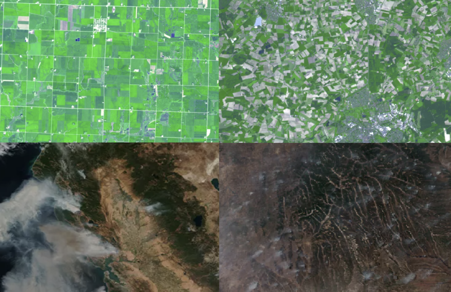
NESDIS uses satellite data and machine learning to produce 1km soil moisture maps that improve NOAA's weather and water forecasts, including the National Water Model.
Online (Hosted)
Jul 21, 2025
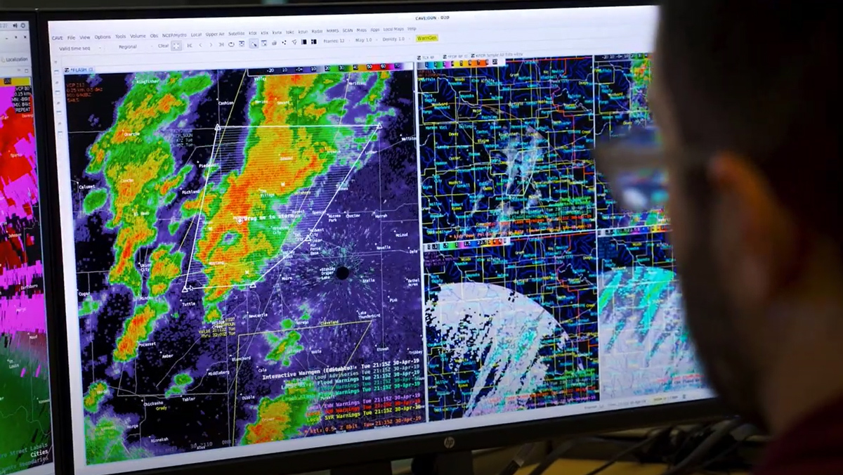
JPSS satellite data support NWS operations. The JPSS Satellite Liaison visits WFOs to gather feedback, identify forecaster challenges, and provide training on updated tools and products in AWIPS.
In-Person & Online
Jul 16, 2025
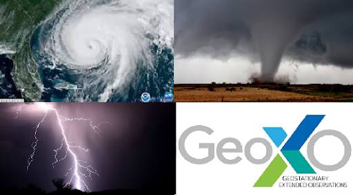
Get updates about new geostationary and low earth orbiting data available, GeoXO satellite instrument development progress, and provide feedback on your changing needs and challenges for severe weather and hurricanes.
Online (Hosted)
Jun 24, 2025
Microwave sounders on LEO satellites help assess tropical cyclone intensity and structure, with new tools expanding coverage via smallsat missions.
Online (Hosted)
Jun 17 - Jun 25, 2025
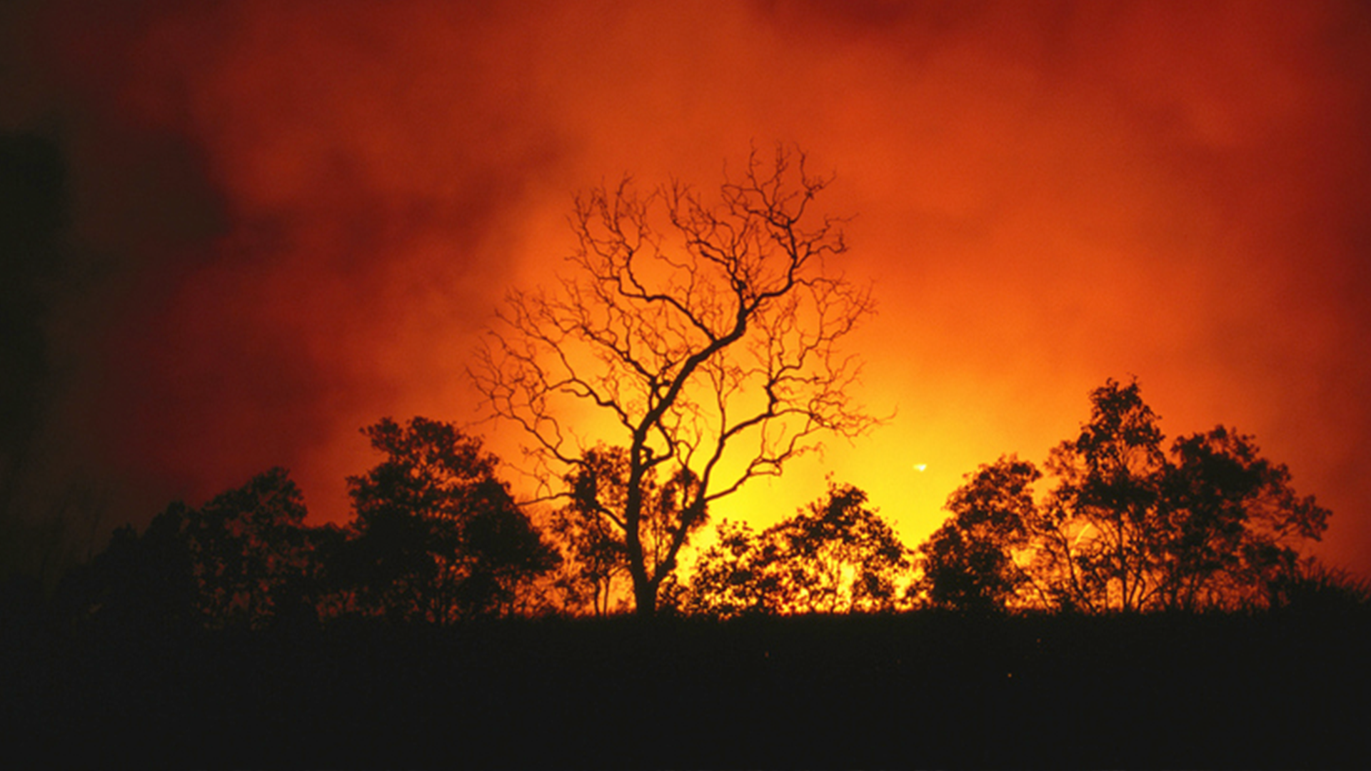
The American Meteorological Society (AMS) Committee on Satellite Meteorology, Oceanography, and Climatology (SatMOC) is pleased to offer a virtual short course with NOAA collaborators titled “Satellites and Fire'' during June 2025.
Online (Hosted)

May 22, 2025
The Geostationary Extended Observations (GeoXO) Program will host a 1.5-hour webinar to highlight the capabilities of the new GeoXO Sounder (GXS). We would like to invite any interested private-sector partners to attend and provide feedback on the…
In-Person & Online
May 20, 2025
Learn about NOAA’s next generation satellite capabilities to monitor our nation’s abundant natural ecosystems.
Online (Hosted)

May 12, 2025
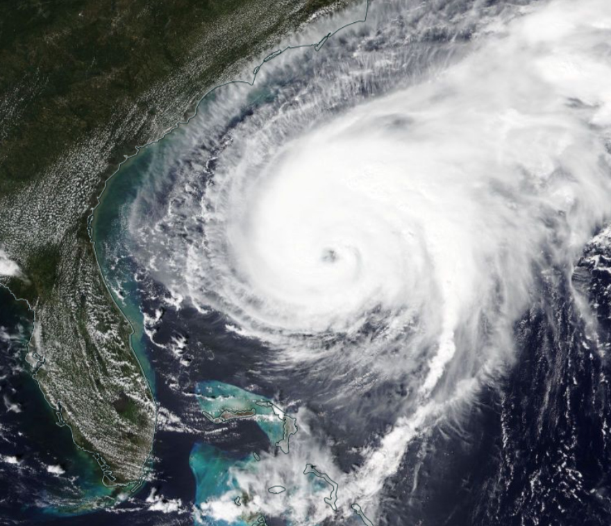
An on-the-ground perspective of the impact of Hurricane Helene on Asheville, North Carolina.